 One Tank of Gas
The Perdido River Corridor is 120,000 acres of Alabama’s largest and most
ecologically significant blackwater watershed. The riparian system is comprised of the headwaters, bogs, forested and marsh wetlands and adjacent upland communities of long-leaf pine along 84 miles of the Perdido River. The corridor begins at the seepage and saturated soils in the Rabun area including acres of pitcher plant bogs owned and protected by The Nature Conservancy, ADCNR, State Lands Division with CIAP funds and the Forever Wild Program The water of the Perdido river flows into one of the Gulf coast’s least developed back areas, the Perdido Bay and its estuaries and marshes. This corridor is characterized by sandy soils and a system of limited creeks and tributaries.
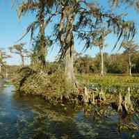
Perdido River Swamp
Perdido River Swamp
-
 Hundreds of species of neo-tropical migrant birds move through Florida’s coastal area utilizing large undeveloped land of the National Seashore for stop-over foraging and rest.
 -
 In the biology of trees, a cypress knee is a distinctive structure in a root of a cypress tree of any of various species of the subfamil Taxodioideae. A likely function is that of structural support and stabilization and assist in anchoring the tree in the soft, muddy soil.
 -
 The ecosystem function of this river corridor system directly affects the water quality in the Perdido River and Perdido Bay and the estuaries of the system.


What's Nearby?
 Hurst Hammock: Pier (2.2 miles)
 Lillian Bridge (5.9 miles)
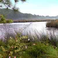 Perdido Key: Riola Place (6.1 miles)
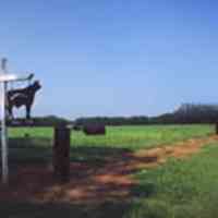 Barrineau Park: Farmland (7.1 miles)
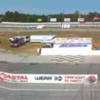 Pine Forest: Five Flags Speedway (7.3 miles)
 Cantonment: Milestone (7.8 miles)
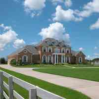 Cantonment: Milestone: Red Brick Mansion A (8.3 miles)
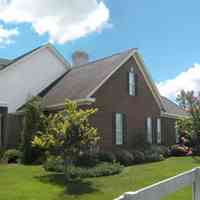 Cantonment: Milestone: Red Brick Mansion B (8.3 miles)
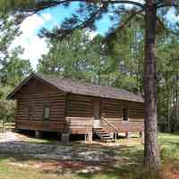 Cantonment: Roy Hyatt Environmental Center Schoolhouse (8.5 miles)
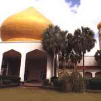 Ensley: Hadji Shrine Temple (8.9 miles)