-
-

-
-

-

-

-

-

-

-

-
-
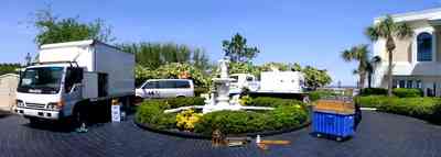
The camera truck, the sound van and the generator power plant were parked near the east side of the home.
-

The restaurant and banquet facilities at Tiger Point are acclaimed as the Emerald Coast's finest.
-
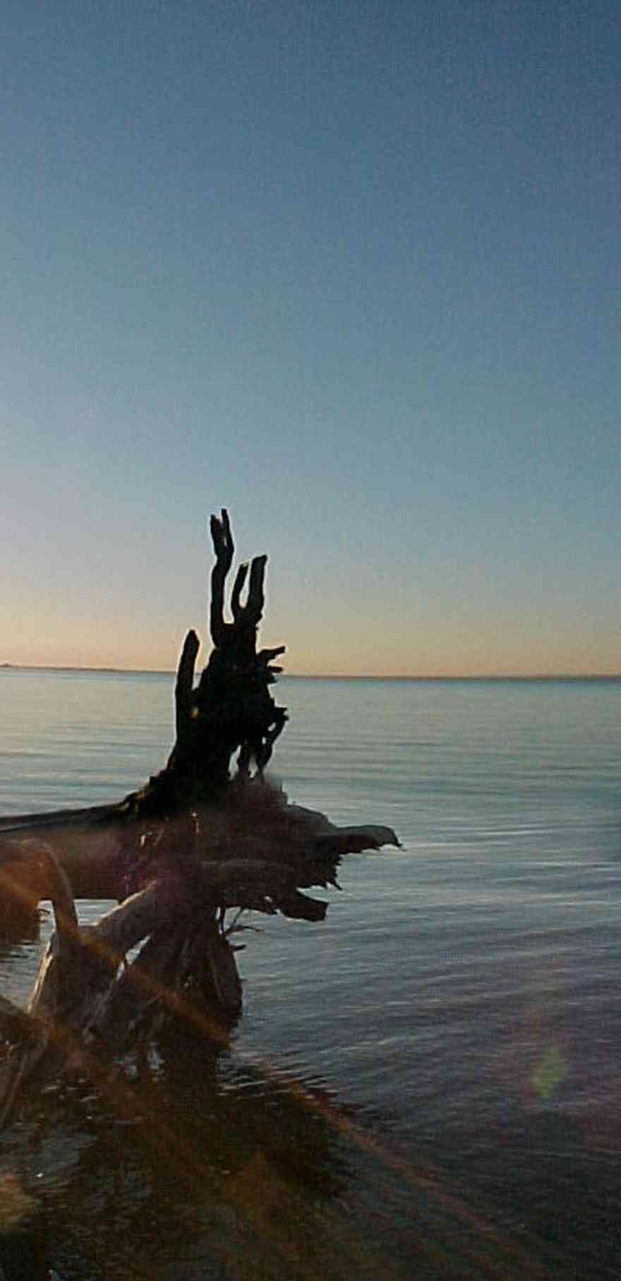
The restaurant and banquet facilities at Tiger Point are acclaimed as the Emerald Coast's finest.
-
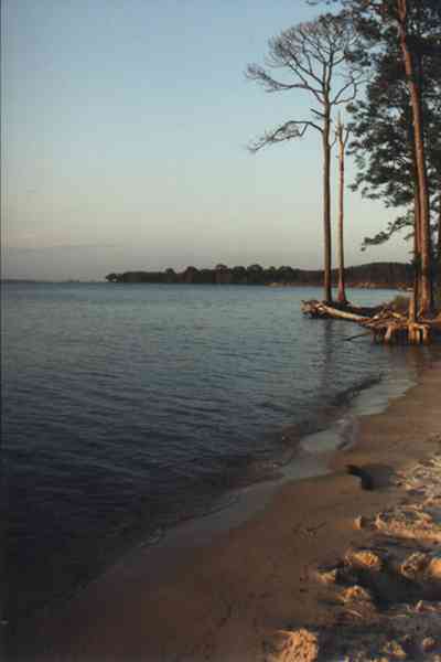
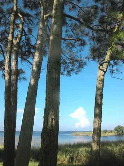
Long-leaf pine trees grow along the beach on the bay.
-
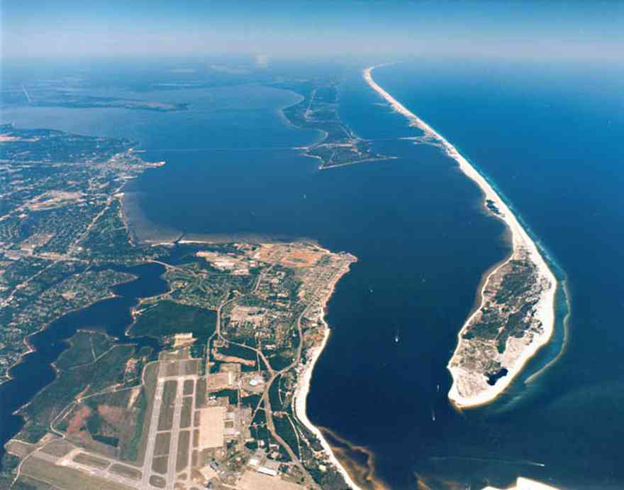
Fort Pickens is located at the wide tip of the barrier island. Runways at the Naval Air Station can be seen in the lower right hand corner of the photograph.
-
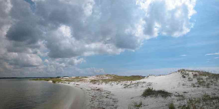
There is little wave action on the sound side.
-
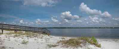
A short boardwalk leads from the road to the water.
-

-

There is a cabana bar located in the rear of the home, facing Santa Rosa Sound.
-
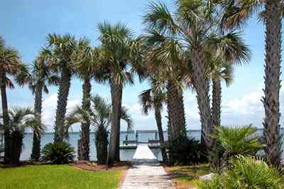
-
-
-
-
-
-
-
-
-
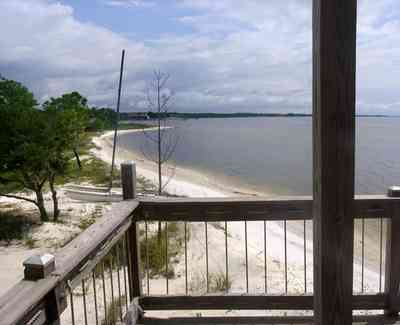
From the second level deck, an northeasterly view reveals a shoreline with white crystal beaches. This area is known for sugar sand dune formations that have been called the whitest beaches in the world.
-
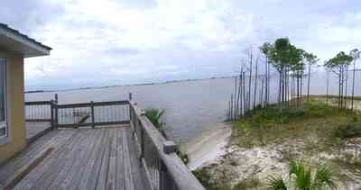
This is a southerly view of the sound shot from the third level deck.
-

This southwest view from the second level shows the sound and western shoreline.
-
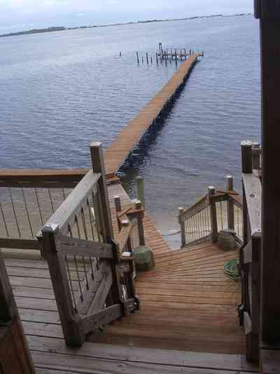
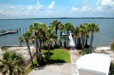
The south view from the second level deck shows the path to the 165 foot pier with Santa Rosa Sound and military preserve on Santa Rosa Island with the Gulf of Mexico beyond.
-
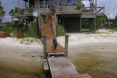
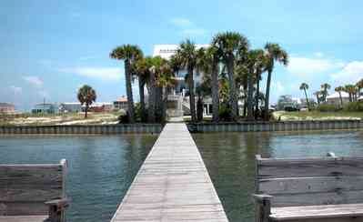
The owner's dog Ginger, meanders along the dock with the southern facade of the home and beach visible in the background.
-
-
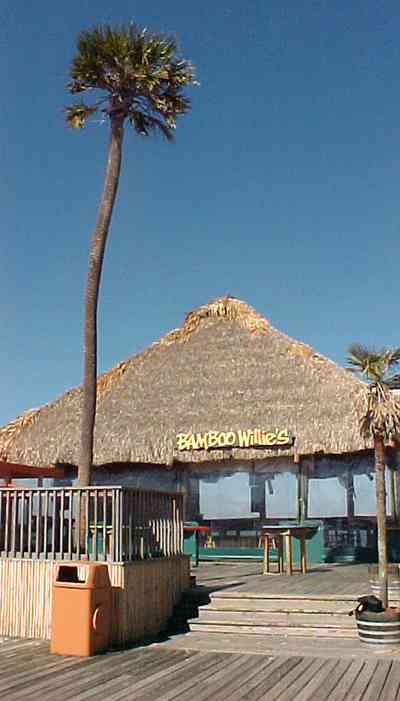
Bamboo Willie's and Hooters are located on the north end of the Quietwater boardwalk.
-

The hut can be opened to utilize the offshore breeze.
-
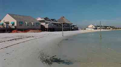
The water on the soundside is very shallow for 100 yards. The thatched roof of Bamboo Willie's can be seen in the upper center of the photograph.
-

Bamboo Willie's is located on the right of the Quietwater shopping area.
-

Flounders is part of the Quietwater Beach complex which can be seen from the boardwalk.
-

The bandshell is the site of concerts and events throughout the year.
-

The bandshell is in the center of the boardwalk shopping area. Bamboo Willie's can be seen in the center of the photo at the far end of the walkway.
-
-
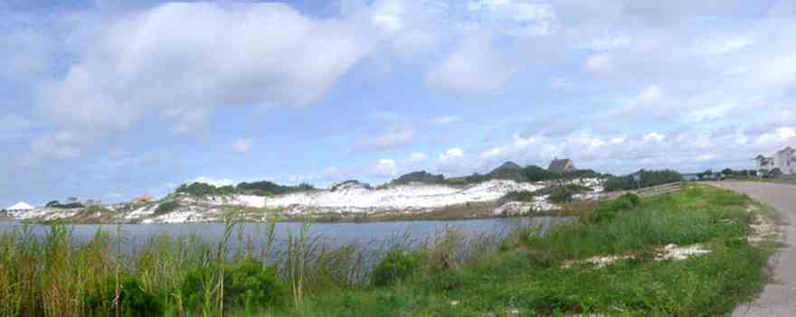
The small lake is located on Sugar Bowl Lane and Via de Luna Drive on Santa Rosa Island. The area is known for its large dunes which shelter homes built on the soundside of the dune formations.
-
-
-
-
-
-
-
-
-
-
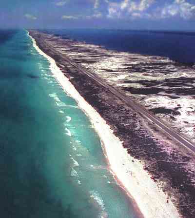
This aerial shows the road that goes the length of Santa Rosa Island. All beach areas can be reached by road, but the road can't be seen from the water.
-
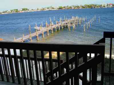
The condo units face north on the sound side of the key. The water here is shallow enough to walk in almost to the end of the dock.
-
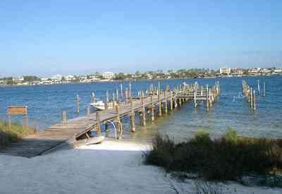
This dock has eight slips, and is unused most of the year.
-
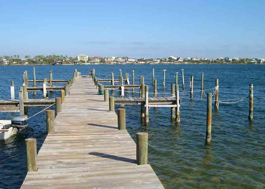
Ono Island is across the sound to the north. To the south, the Gulf of Mexico is about a quarter of a mile away.
-
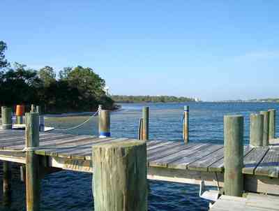
A large expanse of state park borders the property to the west. To the east, there are four streets of development, then more state park.
-
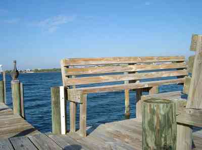
Wooden benches were constructed on the end of the dock by one of the residents. This view faces due west. At sunset, porpoises often swim past.
-
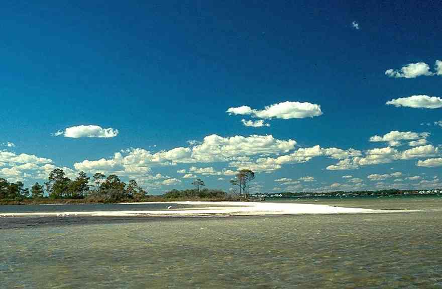
The island, located on Sabine Bay has been subdivided into numerous parcels.
-
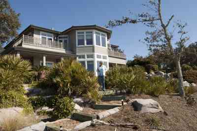
The home overlooks the sound, facing south.


 The camera truck, the sound van and the generator power plant were parked near the east side of the home.
 The restaurant and banquet facilities at Tiger Point are acclaimed as the Emerald Coast's finest.
 The restaurant and banquet facilities at Tiger Point are acclaimed as the Emerald Coast's finest.
 Long-leaf pine trees grow along the beach on the bay.
 Fort Pickens is located at the wide tip of the barrier island. Runways at the Naval Air Station can be seen in the lower right hand corner of the photograph.
 There is little wave action on the sound side.
 A short boardwalk leads from the road to the water.
 There is a cabana bar located in the rear of the home, facing Santa Rosa Sound.


 From the second level deck, an northeasterly view reveals a shoreline with white crystal beaches. This area is known for sugar sand dune formations that have been called the whitest beaches in the world.
 This is a southerly view of the sound shot from the third level deck.
 This southwest view from the second level shows the sound and western shoreline.
 The south view from the second level deck shows the path to the 165 foot pier with Santa Rosa Sound and military preserve on Santa Rosa Island with the Gulf of Mexico beyond.
 The owner's dog Ginger, meanders along the dock with the southern facade of the home and beach visible in the background.
 Bamboo Willie's and Hooters are located on the north end of the Quietwater boardwalk.
 The hut can be opened to utilize the offshore breeze.
 The water on the soundside is very shallow for 100 yards. The thatched roof of Bamboo Willie's can be seen in the upper center of the photograph.
 Bamboo Willie's is located on the right of the Quietwater shopping area.
 Flounders is part of the Quietwater Beach complex which can be seen from the boardwalk.
 The bandshell is the site of concerts and events throughout the year.
 The bandshell is in the center of the boardwalk shopping area. Bamboo Willie's can be seen in the center of the photo at the far end of the walkway.
 The small lake is located on Sugar Bowl Lane and Via de Luna Drive on Santa Rosa Island. The area is known for its large dunes which shelter homes built on the soundside of the dune formations.


 This aerial shows the road that goes the length of Santa Rosa Island. All beach areas can be reached by road, but the road can't be seen from the water.
 The condo units face north on the sound side of the key. The water here is shallow enough to walk in almost to the end of the dock.
 This dock has eight slips, and is unused most of the year.
 Ono Island is across the sound to the north. To the south, the Gulf of Mexico is about a quarter of a mile away.
 A large expanse of state park borders the property to the west. To the east, there are four streets of development, then more state park.
 Wooden benches were constructed on the end of the dock by one of the residents. This view faces due west. At sunset, porpoises often swim past.
 The island, located on Sabine Bay has been subdivided into numerous parcels.
 The home overlooks the sound, facing south.
 One Tank of Gas