-
-
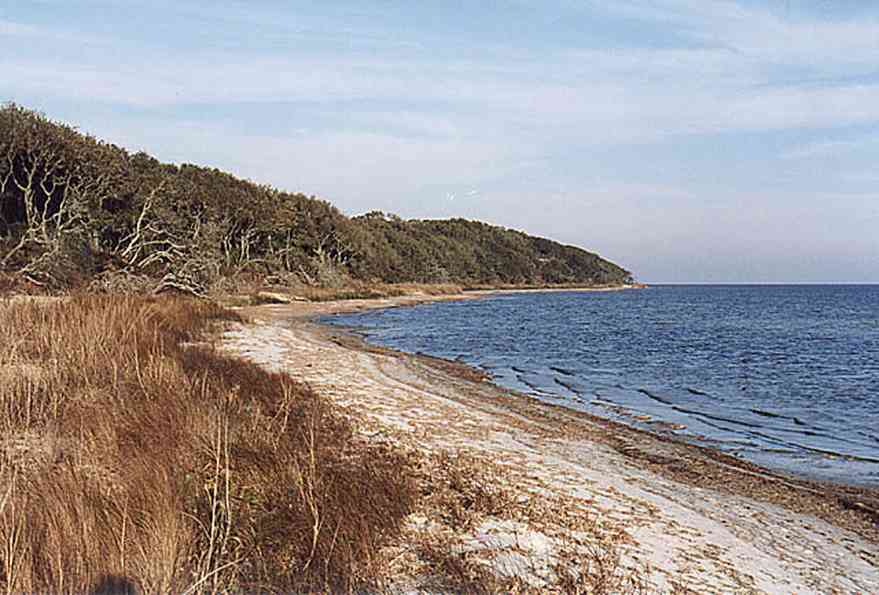
The sound side of the barrier islands is sheltered from the battering of storms.
-

The building was formerly used as the Coast Guard Station.
-
This view of the Ranger Station is taken near the wreck of the Norweigan bark, the Catherine, which is located in 15 feet of water where it sank on August 7, 1894. The outline of the vessel can be seen as a dark shadow on the surface.
-
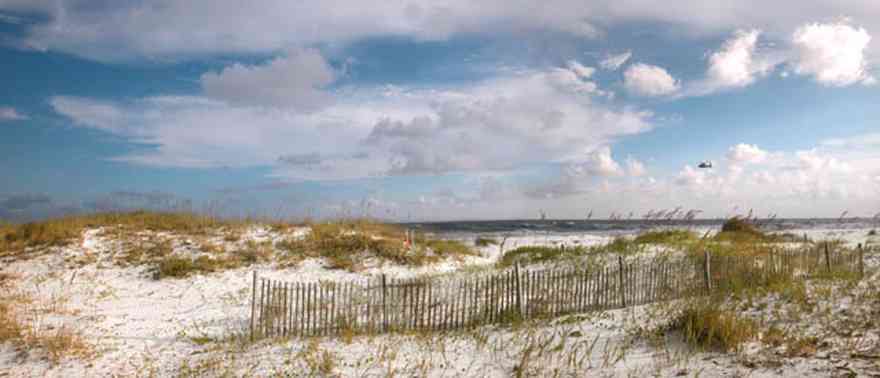
The fence is located at the Opal Beach sign, three miles from the Opal Beach boardwalk.
-

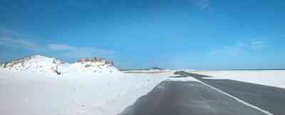
The beach road bisects Santa Rosa Island.
-
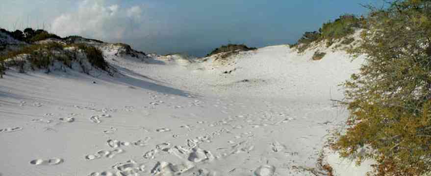
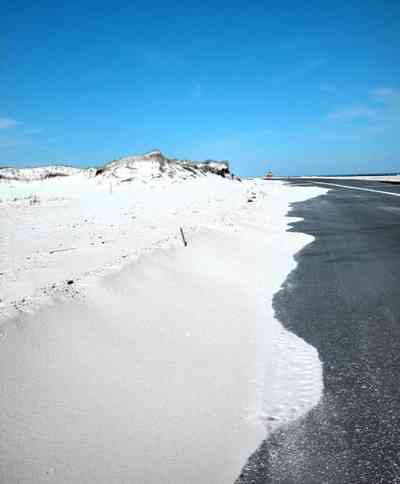
The dunes form undulating ridges along the north side of the beach road. This area is across the road from Parking Lot 10 at the Gulf Islands National Seashore.
-
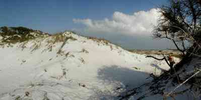
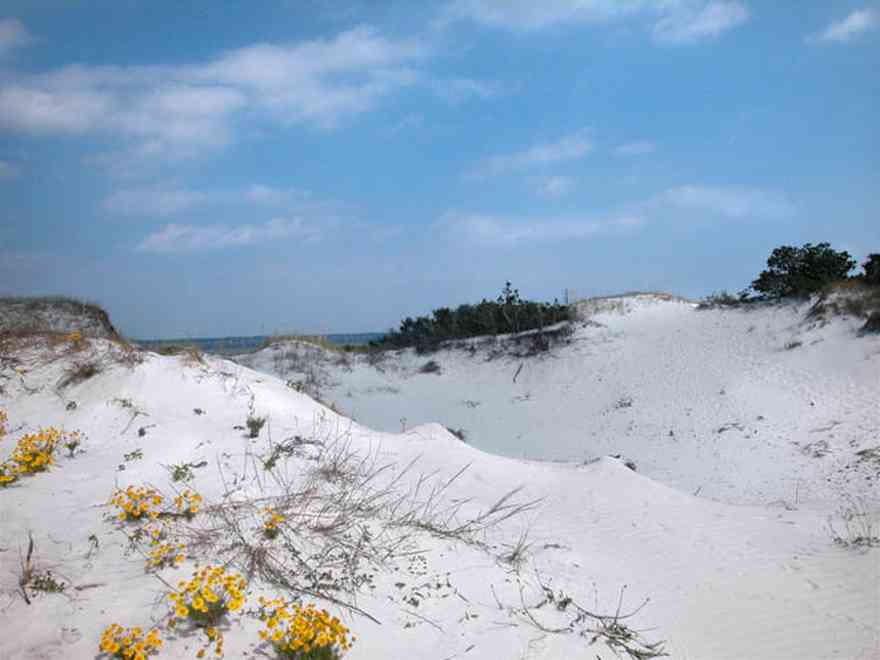
Sparse vegetation holds the dunes in place.
-

Some of dune formations on the north side of the beach road rise to a height of about 30 feet.
-
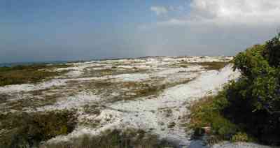
The Gulf can be seen on the far right of the photograph.
-
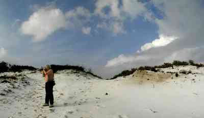
Beach grasses have long roots that form a subsurface net, keeping the dunes from disintegrating.
-
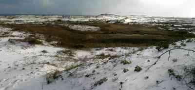
Beach elder accumulates sand rapidly and produces low rounded dunes.
-
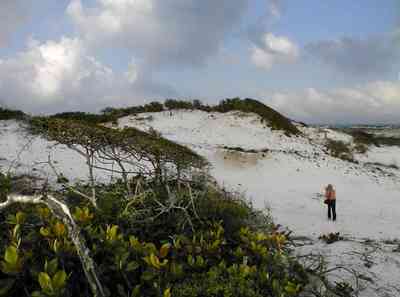
Beach elder (Iva imbricata) has sparse, woody, upright stems and fleshy narrow bright green leaves. Small lavender flowers occur in late summer.
-

This photo features Sugar The Wonder Dog. Dogs are not allowed on the beach so it was a surprise to see a golden retriver playing in the sand.
-

Sea oats have a deep stem that may reach several feet below the surface of the dune. As the dune continues to grow, this stem send out vigorous branching rhizomes at or just below ground level. As a result a sea oat may reach to the very base of the dune that supports it with a laybrinth of rootlike structures.
-

White sand makes for emerald green water.
-
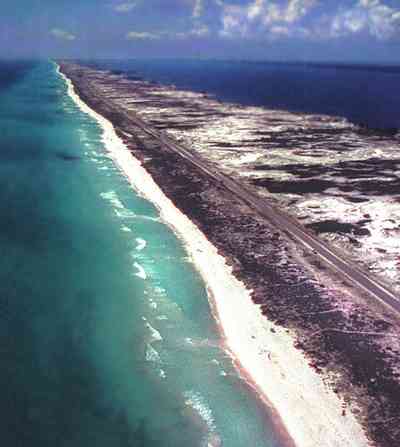
This aerial shows the road that goes the length of Santa Rosa Island. All beach areas can be reached by road, but the road can't be seen from the water.
-
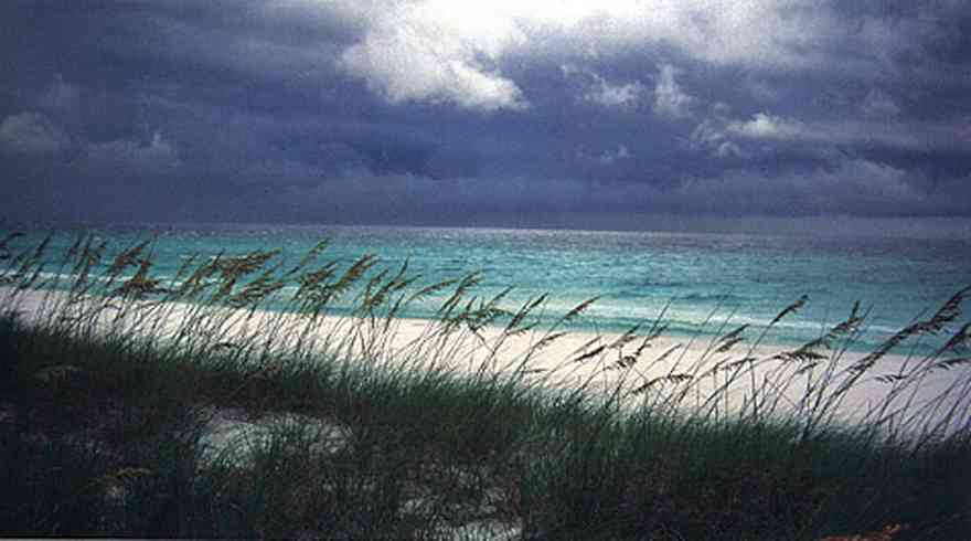
The white sand actually traveled from the Appalachian mountains from local rivers. The dunes are tops with a smattering of sea oats.
-
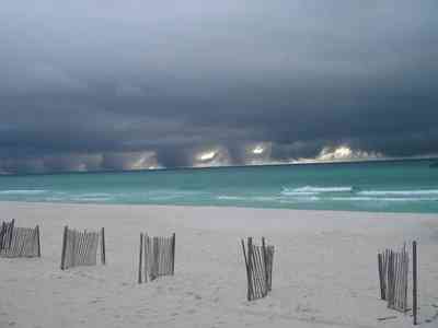
The short fences were installed after recent storms to promote dune formation by trapping blowing sand.
-

The shoreline along the coast is uniform throughout the gulf side of the island.
-

A two lane road runs through the middle of the island.
-

The road was damaged by Hurricanes Ivan and Dennis, but has been repaired repeatedly. The county views the road as a safety issue since they can use it to get to the two bridges off the island and so will repair it as often as need be.
-
-

-

-


 The sound side of the barrier islands is sheltered from the battering of storms.
 The building was formerly used as the Coast Guard Station.
 This view of the Ranger Station is taken near the wreck of the Norweigan bark, the Catherine, which is located in 15 feet of water where it sank on August 7, 1894. The outline of the vessel can be seen as a dark shadow on the surface.
 The fence is located at the Opal Beach sign, three miles from the Opal Beach boardwalk.
 The beach road bisects Santa Rosa Island.
 The dunes form undulating ridges along the north side of the beach road. This area is across the road from Parking Lot 10 at the Gulf Islands National Seashore.
 Sparse vegetation holds the dunes in place.
 Some of dune formations on the north side of the beach road rise to a height of about 30 feet.
 The Gulf can be seen on the far right of the photograph.
 Beach grasses have long roots that form a subsurface net, keeping the dunes from disintegrating.
 Beach elder accumulates sand rapidly and produces low rounded dunes.
 Beach elder (Iva imbricata) has sparse, woody, upright stems and fleshy narrow bright green leaves. Small lavender flowers occur in late summer.
 This photo features Sugar The Wonder Dog. Dogs are not allowed on the beach so it was a surprise to see a golden retriver playing in the sand.
 Sea oats have a deep stem that may reach several feet below the surface of the dune. As the dune continues to grow, this stem send out vigorous branching rhizomes at or just below ground level. As a result a sea oat may reach to the very base of the dune that supports it with a laybrinth of rootlike structures.
 White sand makes for emerald green water.
 This aerial shows the road that goes the length of Santa Rosa Island. All beach areas can be reached by road, but the road can't be seen from the water.
 The white sand actually traveled from the Appalachian mountains from local rivers. The dunes are tops with a smattering of sea oats.
 The short fences were installed after recent storms to promote dune formation by trapping blowing sand.
 The shoreline along the coast is uniform throughout the gulf side of the island.
 A two lane road runs through the middle of the island.
 The road was damaged by Hurricanes Ivan and Dennis, but has been repaired repeatedly. The county views the road as a safety issue since they can use it to get to the two bridges off the island and so will repair it as often as need be.


 One Tank of Gas