-
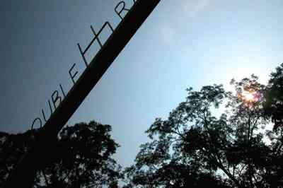
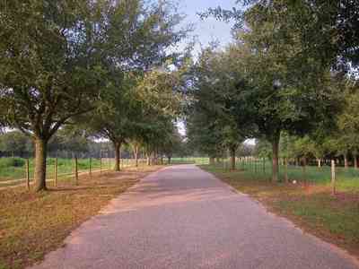
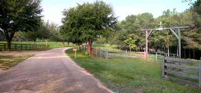
The ranch is located on Highway 87 North.
-
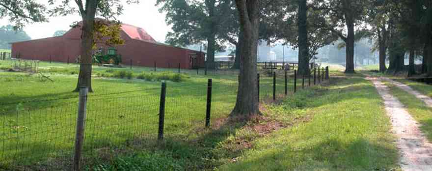
The picturesque ranch is a cattle farm.
-
-
-
-

-
-
-
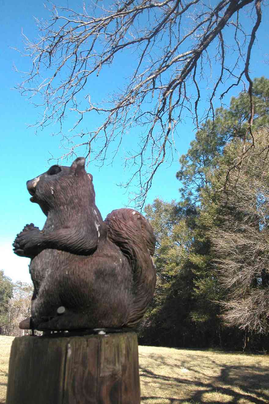
Whimsical sculptures and signs can be found on the Matthews farm.
-

There are about 100 head of cattle in this herd.
-
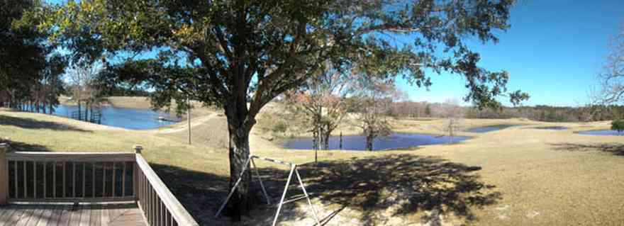
-
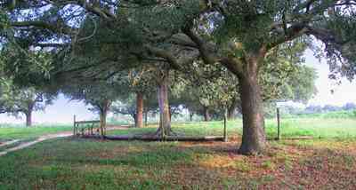
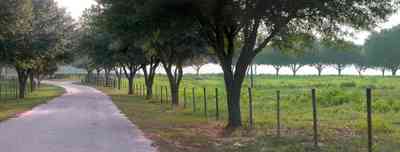
The south road is lined by an avenue of young live oak trees.
-
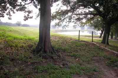
The road follows the gently rolling hills.
-
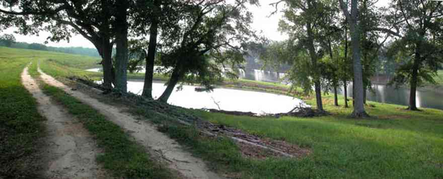
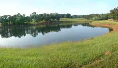
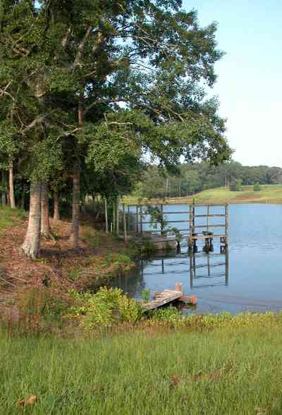
There are several lakes in the valley. The road winds around the lakes.
-
-
-
-
-
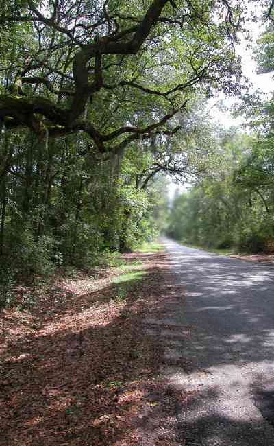
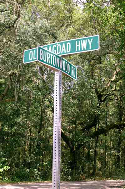
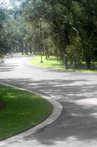
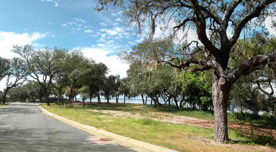
The oak-shaded road leads to the cemetery.
-
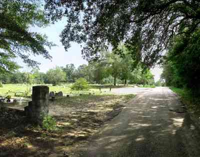
On a hill just west of the Village of Bagdad, Florida in Northwest Florida, in the middle of mighty live oaks, rest the people who created, with their own bare hands, notably the largest economic concerns in the State of Florida at the turn of the 20th Century.
-

The highway curves around newly planted fields.
-
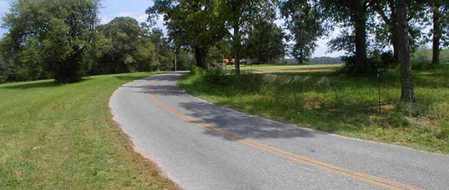
The farmland is located on a ridge of hills above the Blackwater River basin.
-
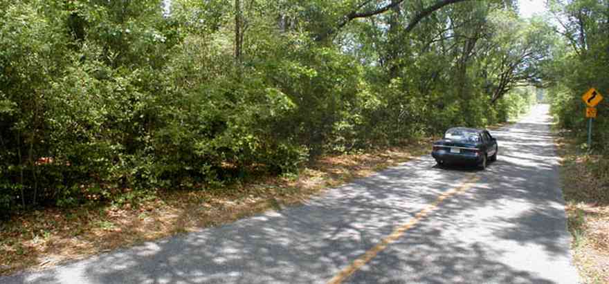
County roads wind through the Blackwater River State Forest and Park.
-

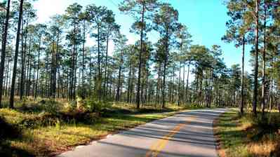
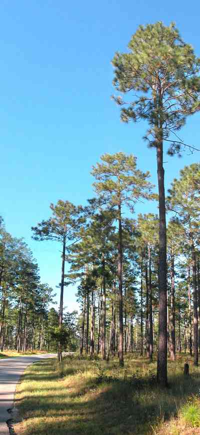
This area of the park is forested in long-leaf pines. The forest is maintained by burn-off so that there is no secondary growth. A carpet of bracken fern is the dominant flora of the ground cover in the pine forest.
-
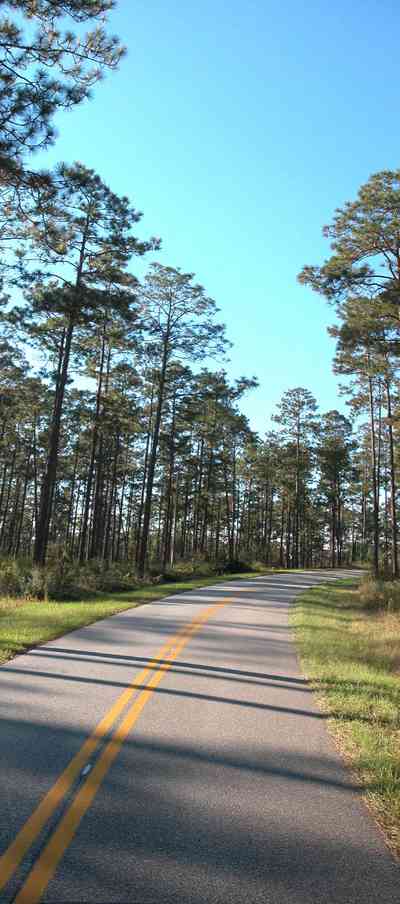
There is a three mile length of winding road through this section of the forest.
-
-
-
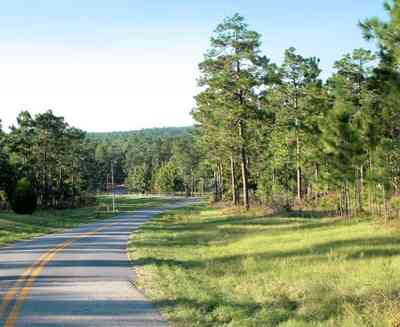
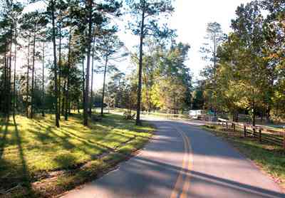
The road descends into a low lying area surrounding Coldwater Creek. The stables and recreational area are located on the south side of the creek.
-
-
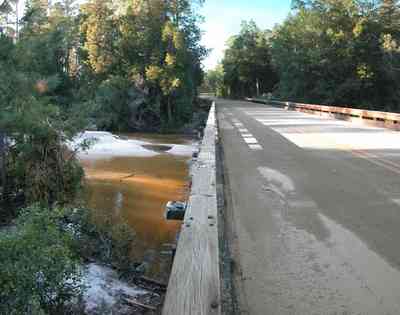
Coldwater Creek runs through the park.
-

-
-

-
-
-

-

The 15 acre lake is located in rural Escambia County.
-

-
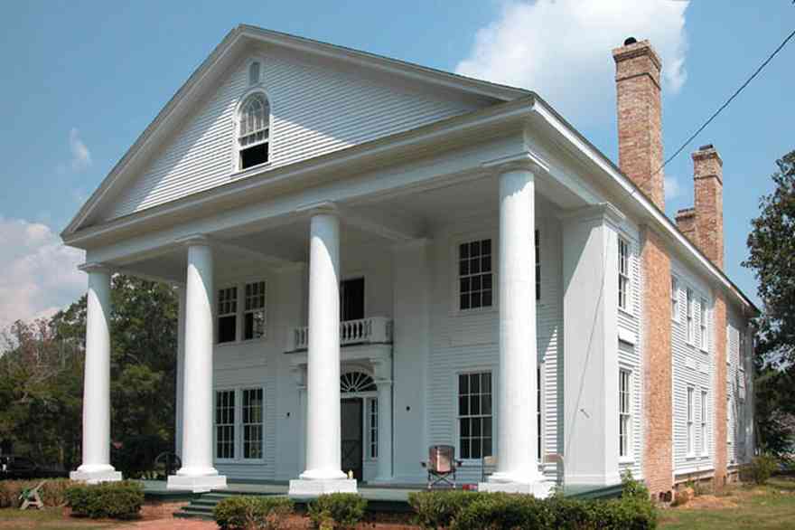
The Victorian mansion was built in 1904.
-
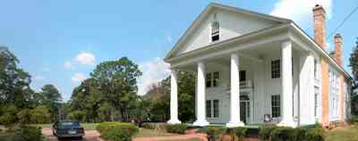
The home is constructed entirely of heart pine wood.
-
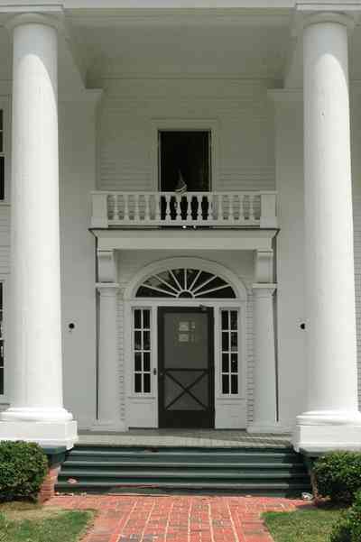
Columns that are as wide as many of the surrounding trees flank the front door with its heavy beveled glass insets that have rippled under the weight of years. The spacious interior contains 18 rooms.
-
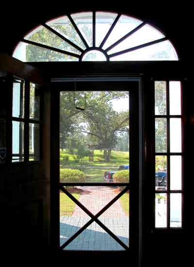
There are 6 bedrooms, 4 baths, 12 fireplaces, office, parlor, study, living, dining, kitchen, utility room, and third-floor ballroom in the 7500 square foot house.
-
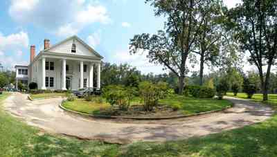
The mansion was built by one of the owners of the Alger Sullivan lumber mill.
-
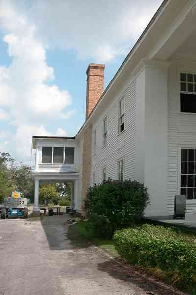
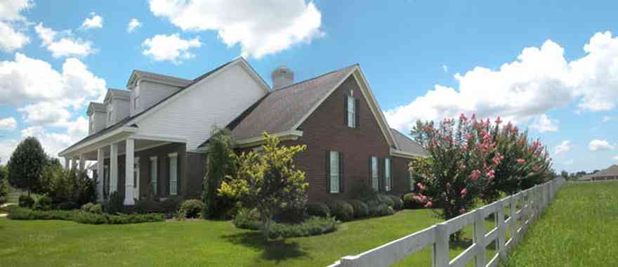
The sheltered portico is attached to the west side of the house.
-
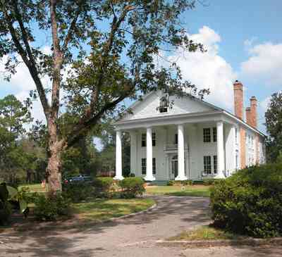
At the beginning of the 20th century, Century, Florida was the nation's leading producer of Southern pine timber.
-
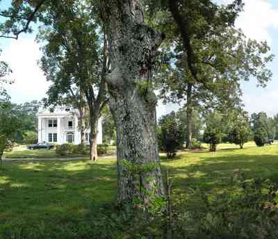
Pecan orchards flank the house in three directions.
-
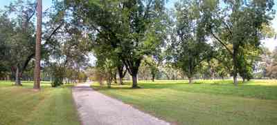
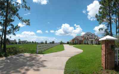
A long entrance road leads up a hill to the three-story mansion.
-
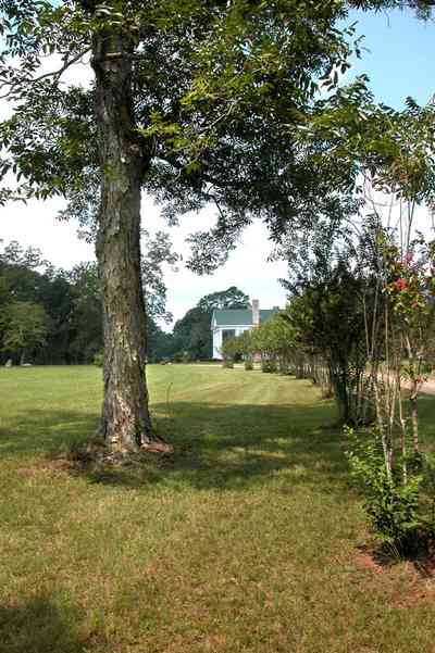
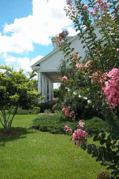
A row of crape myrtle trees line the driveway.
-
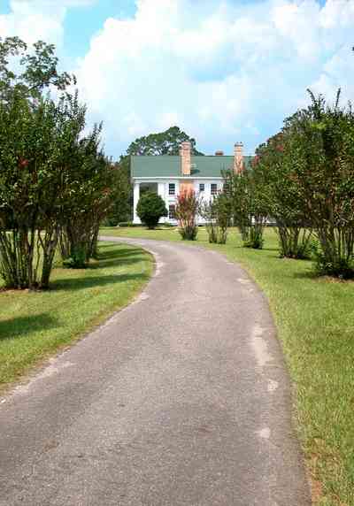
The property is located on Highway 4A.
-
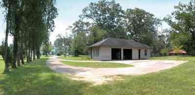
The carriage house is located directly behind the main house.
-
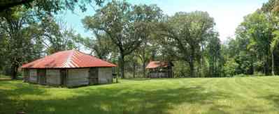
The stable and pump house are located adjacent to the carriage house in the rear of the property.
-
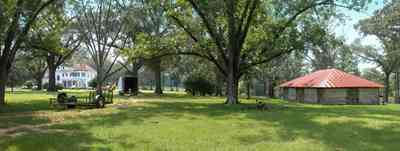
The back of the main house can be seen in the left side of the photograph.
-
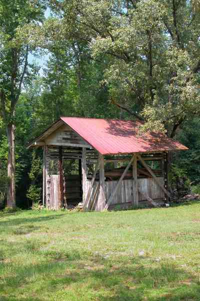
The water was pumped from an artisan spring to the house.
-
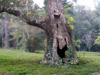
There are many old hardwood trees on the property, such as the oak pictured above.
-
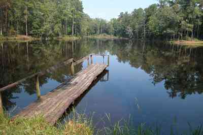
The lake is approximately eight acres.
-
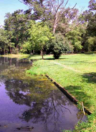
The lake is decked on the east side with concrete.
-
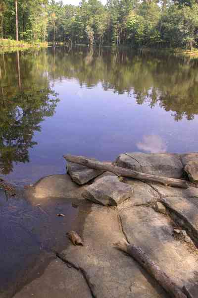
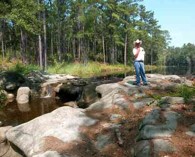
A man-made waterfall functions as the spillway for the lake.
-
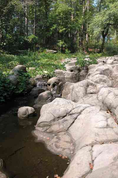
The rocks that form the waterfalls were brought from the old lumber mill.
-
-
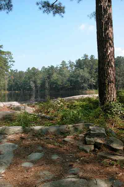
Tannenheim is German for fir tree house.
-
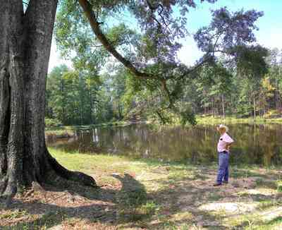
The lake is surrounded by mature oaks and native hardwoods.
-

The front of the farm faces Kleinschmidt Road. The deciduous trees are pecans. There is a grove along the property line on the east side of the farm. The Heil home is a small craftsman cottage in the center of the frame.
-

A dirt road runs alongside of the east field. Rolls of irrigatioin equipment and outbuildings can be seen in the right side of the frame. The greens can be seen int he center. There is a utility line alongside on the far left.
-

The utility buildings and irrigation equipment can be seen in the distance along the tree line.
-

-

A pecan orchard frames the field of greens along the dirt road.
-

Much of the produce in the area is grown in the Elberta farm community.
-

A stand of long-leaf pines and slash pines create a picturesque view of pasture land along this country road.
-

The dirt road and the farmland are barely distinguishable.
-

Pecan trees line the road. There are numerous old orchards on this flat plain.
-

The narrow dirt road runs alongside fields of vegetables
-
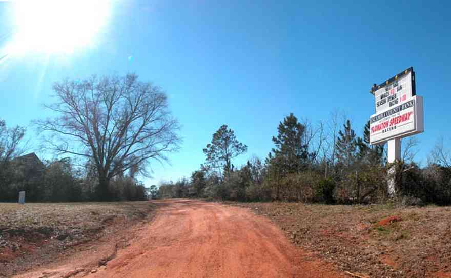
The dirt track opens on March 21st, 2003.
-
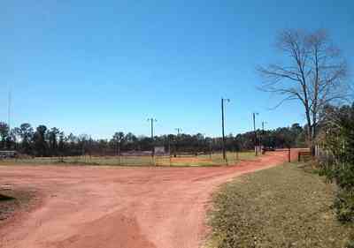
The trck opened around 1975, closing in 1997. It reopened in 1999.
-
-
-
-
-
-
-
-

-
-
-
-
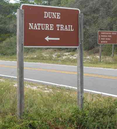
-
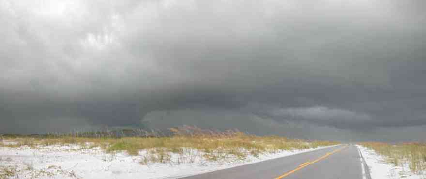
The road to the fortifications bisects the narrow barrier island.
-
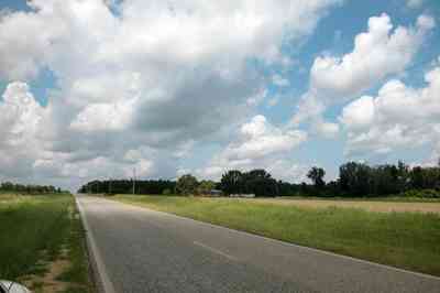
Highway 178 bisects the Holland fields. A 5 acre tilled area on the north side of the road is prepared for the next crop.
-

The entrance to the barn and house is on the far right of the photograph. The 5 acre tilled field can be seen on the other side of the road.
-
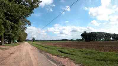
Homer Holland Road is accessed from Highway 178. It runs alongside of the Holland barn and home. The trees are deciduous water oaks and sweet gums.
-
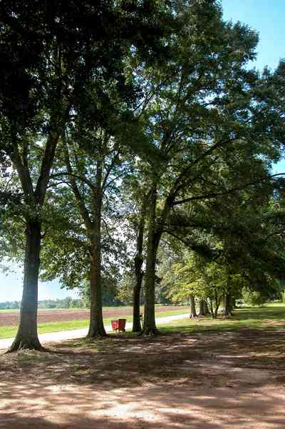
Water oaks and sweet gum trees line the west side of Homer Holland Road. The 15 acre pumpkin patch can be seen through the trees.
-
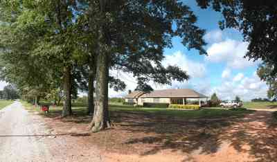
The Holland farmhouse can be seen through the trees. The driveway is typical of dirt roads and driveways which are composed of red clay.
-
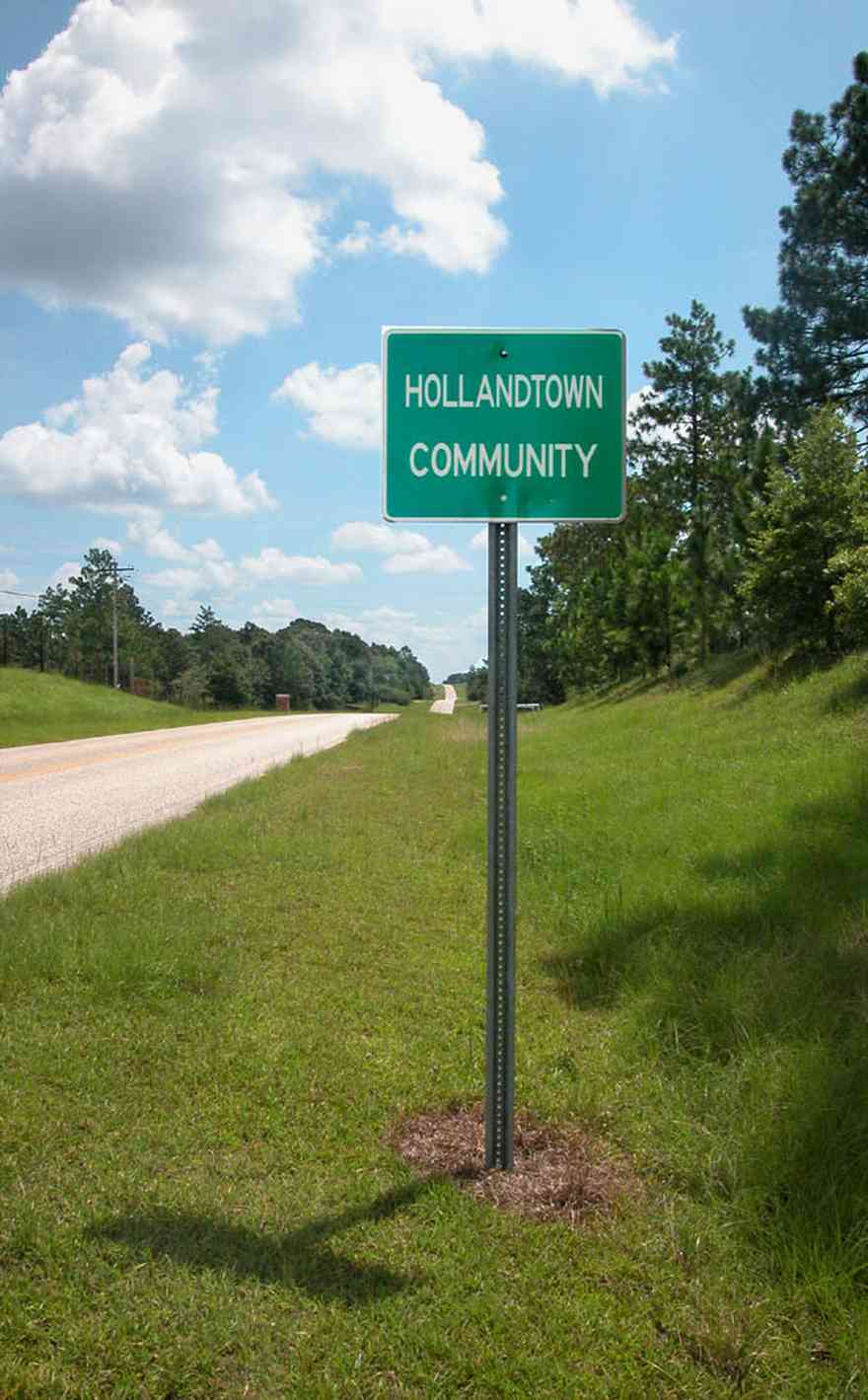
The Holland family settled the area over 100 years ago. Bruce Holland is a well known farmer who sells produce at his barn on Hwy 178. His farm has been featured on the WEAR TV 3 feature "Our Acre".
-

The church is located at the corner of Chumukla Highway and 178.
-
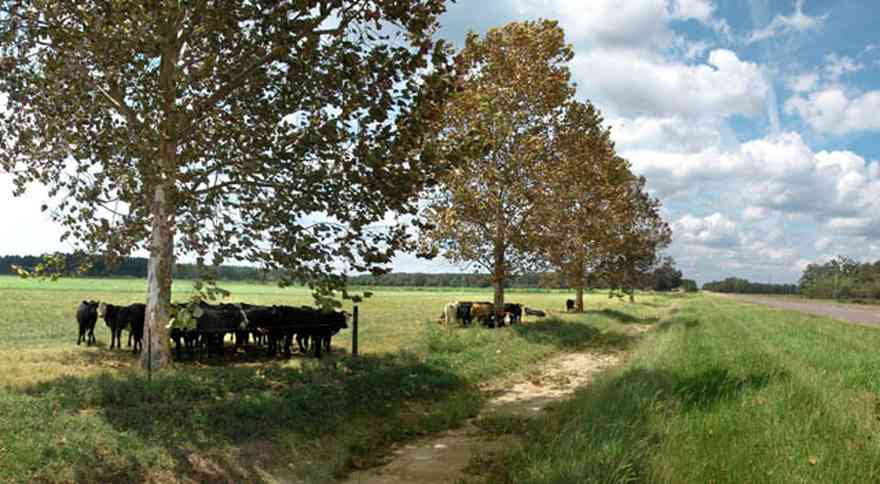
Sycamore trees line Highway 178 at Sundance Farm.
-
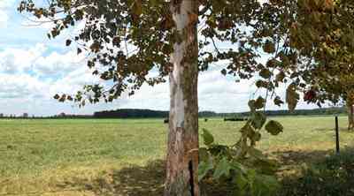
The range of the sycamore tree is northwest Florida and can be found throughout Santa Rosa and Escambia counties.
-
-
-
-
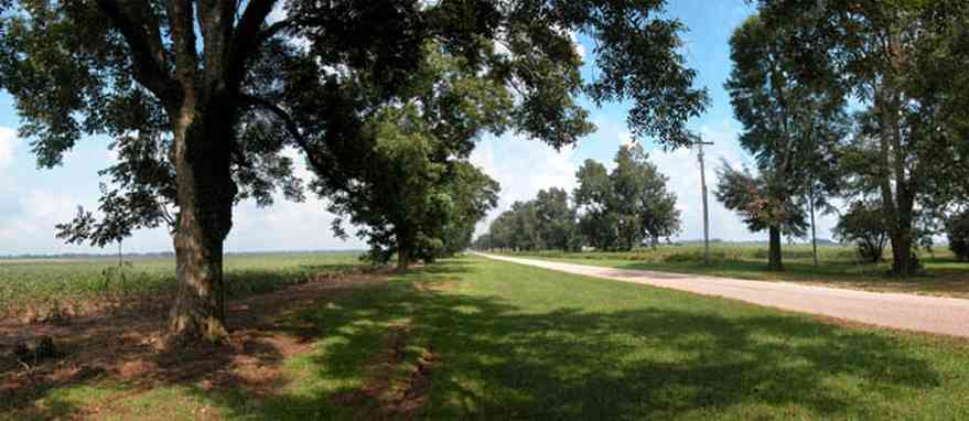
Mature pecan trees flank cotton fields on both sides of the road for several miles.
-
-
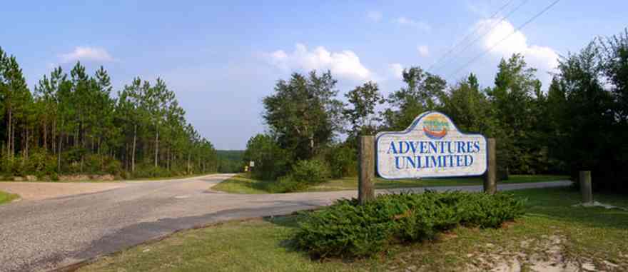
The camp is located on Hightway 87 near Milton, FL.
-
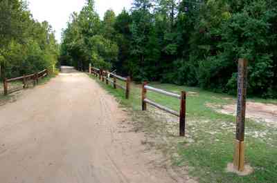
Miles of narrow roads connect the cabins with the main camp buildings.
-

Each section of the tree farm has sign so that the customer can identify the variety.
-

This is a reverse of the photograph above showing the relationship of the green rye pasture to the northwest.
-

The view from the west tree lot looks back on the green pasture. The mature pines on the right of the frame can be seen as the tree line in the photograph above on the left of the upper tree line.
-
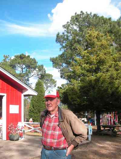
Mr. Dean Schnoor is the proprietor of the Chrismas tree farm.
-
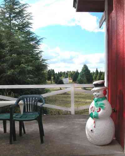
Hundreds of school children visit the farm every year.
-
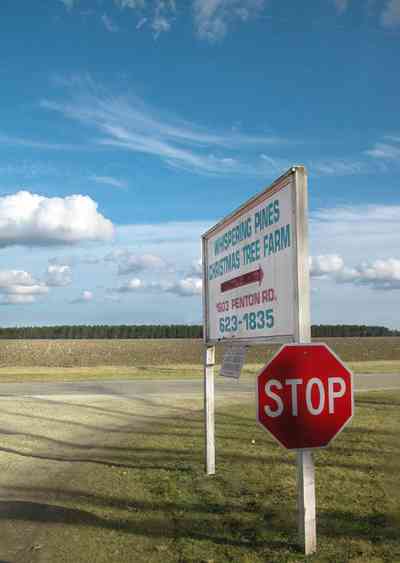
The tree farm is located on Penton Road.
-
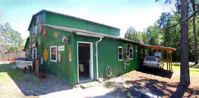
There are interesting old signs on the green barn.
-
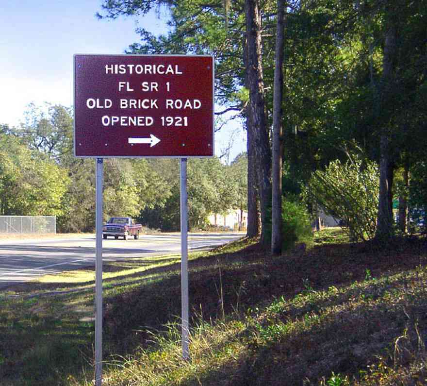
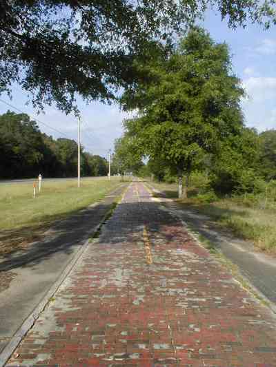
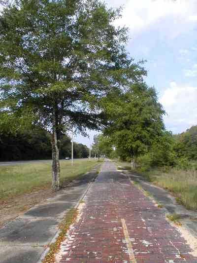
The red brick road can be accessed off Highway 90 on the east side of the Blackwater River.
-
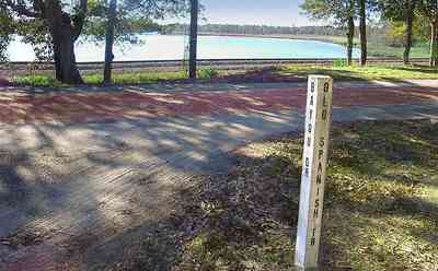
The road is also known as the Old Spanish Trail.
-

The red brick road is still in use as a thorofare in a 1940's East Milton neighborhood. The CSX rail line runs alongside of the road.
-
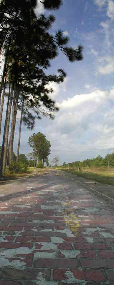
The restored road runs along Highway 90.
-
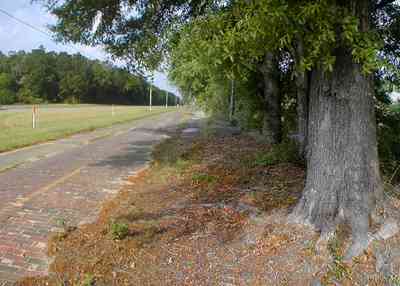
The land on either side of Highway 90 and the Red Brick Road is undeveloped for approximately five miles on the east side of Milton.
-
-
-
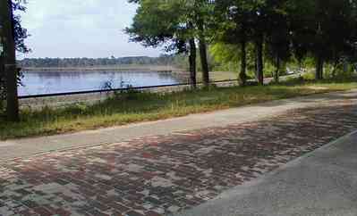
Blackwater Bay can be seen from the road.
-
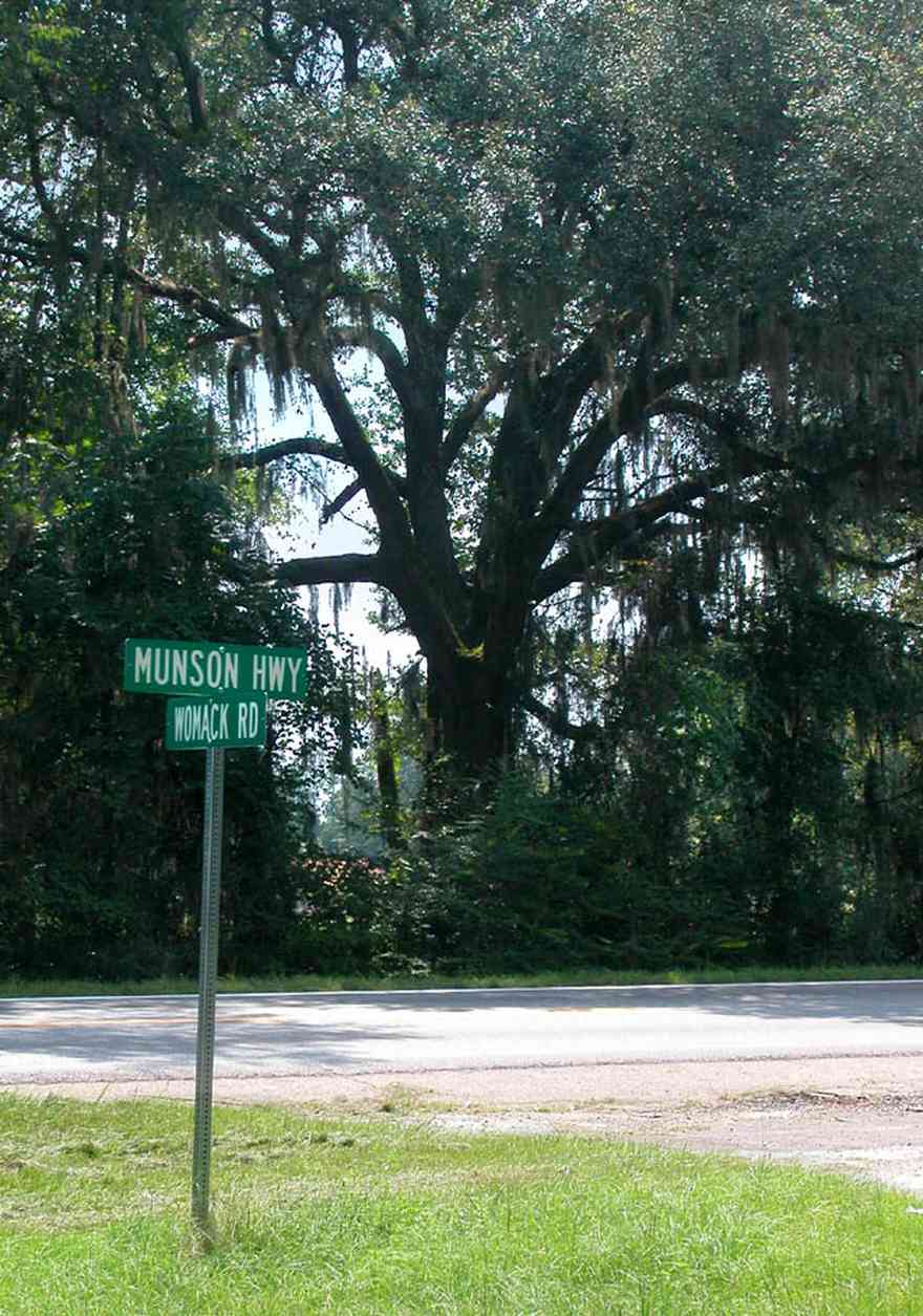
Womack Road is about three miles north of the town of Milton in Santa Rosa County.
-
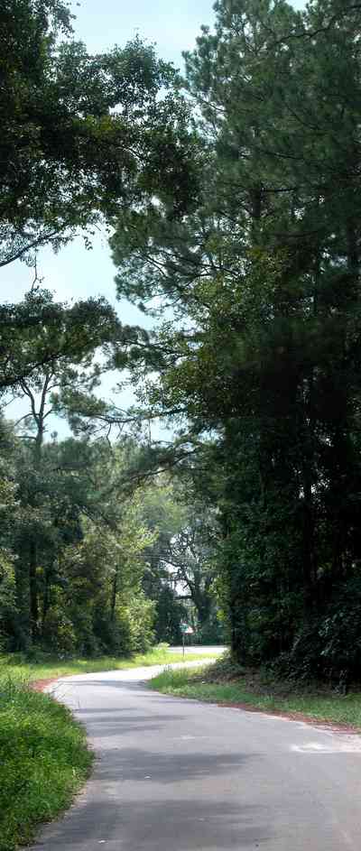
The road winds through a wooded area.
-
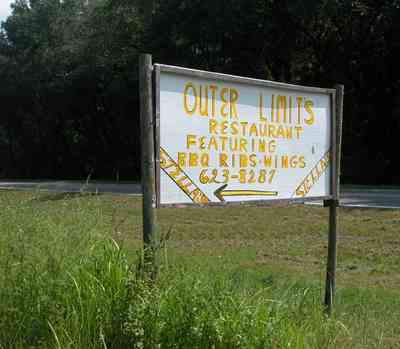
There is a small restaurant about one mile from Munson Highway
-
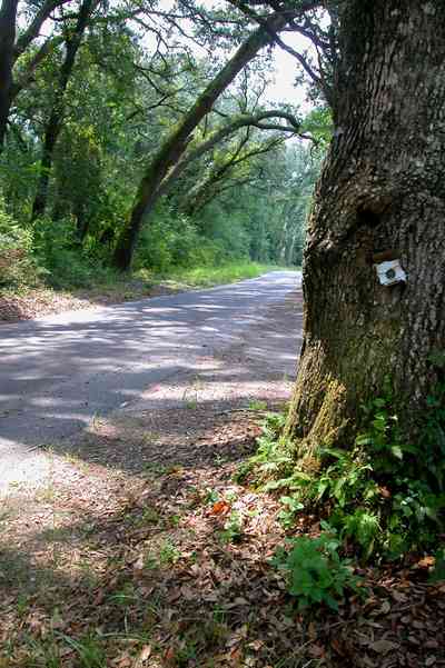
The first 1/2 mile of the road winds through a forested area.
-
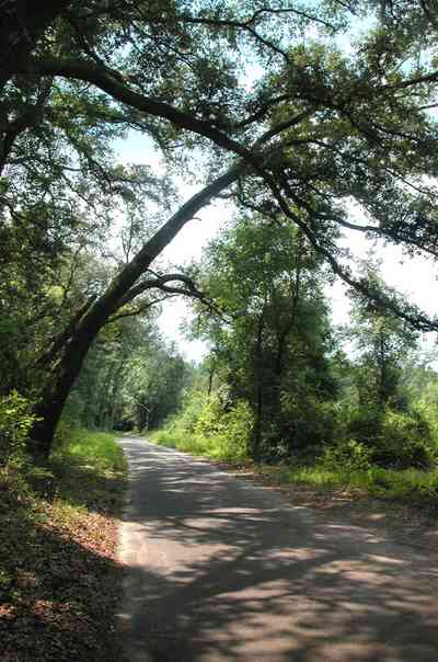
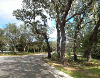
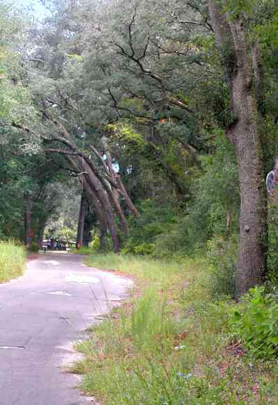
Oak trees form a canopy over the road.
-
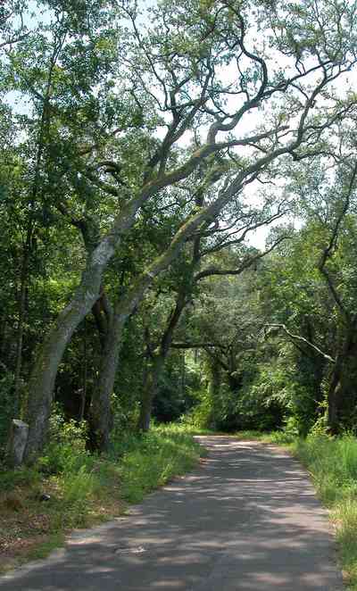
The term hammock is applied to an area characterized by a diverse collection of bother deciduous and evergreen hardwood trees.
-
-

-
-

-
-

-
-
-
-
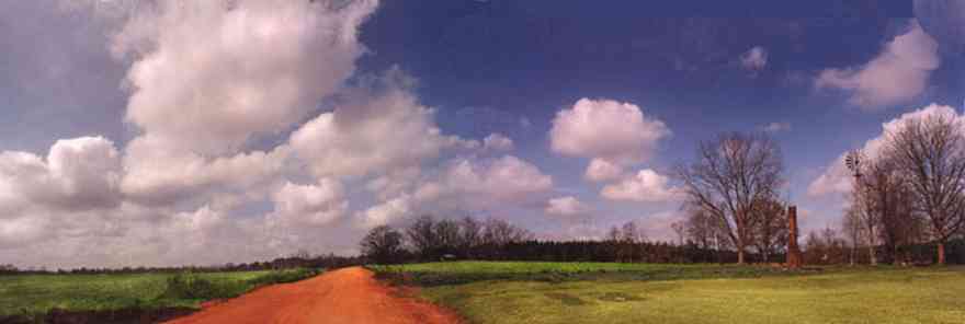
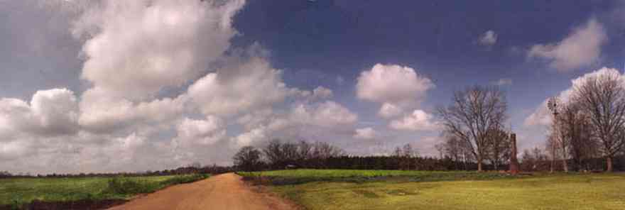
A windmill and chimney are all that remain at the old farmstead along a dirt road in northern Escambia County.
-

Fields of winter wheat are planted as grazing land.
-

-
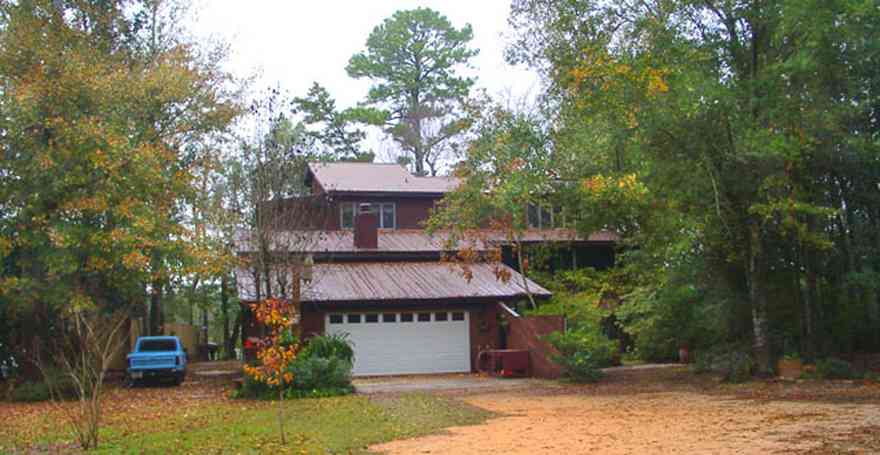
The house fronts on Mulatto Bayou.
-
-
-
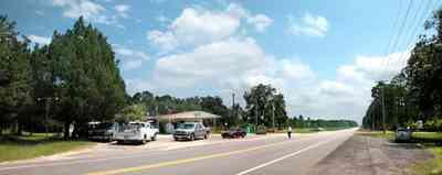
The store is located on the northeast corner of the intersection of Highway 4 and the Munson Highway.
-
-

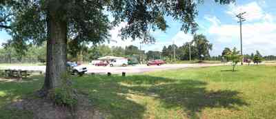
The farmhouse has a pyramidal roof and front porch indicative of the four-square Georgian Victorian style.
-

The beach road bisects Santa Rosa Island.
-
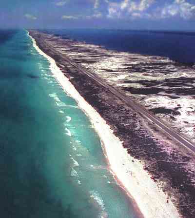
This aerial shows the road that goes the length of Santa Rosa Island. All beach areas can be reached by road, but the road can't be seen from the water.
-
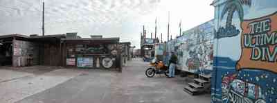
The bar is located on the state line between Florida and Alabama.
-
-
-
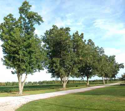
Pecan trees divide the homestead's driveway from the adjacent fields.
-
-
-
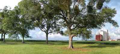
Oak trees line the cotton field adjacent to the Escambia Grain Coop silos.
-
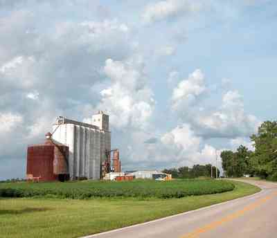
This is the only farm cooperative grain elevator in northwest Florida.
-
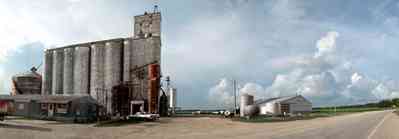
There are three main buildings in the complex. The office is on the left, the grain elevator is immediately behind the office building and the fertilizer house is on the right of the photograph.
-
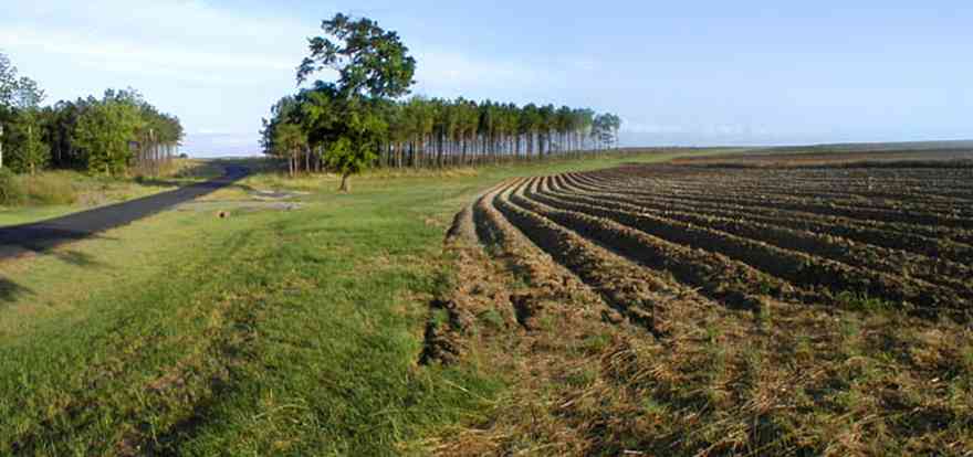
Gobbler Road is in the Walnut Hill Community off Highway 97.
-
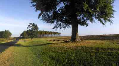
There are thousands of acres in cultivation in the Walnut Hill community planted in a variety of crops.
-
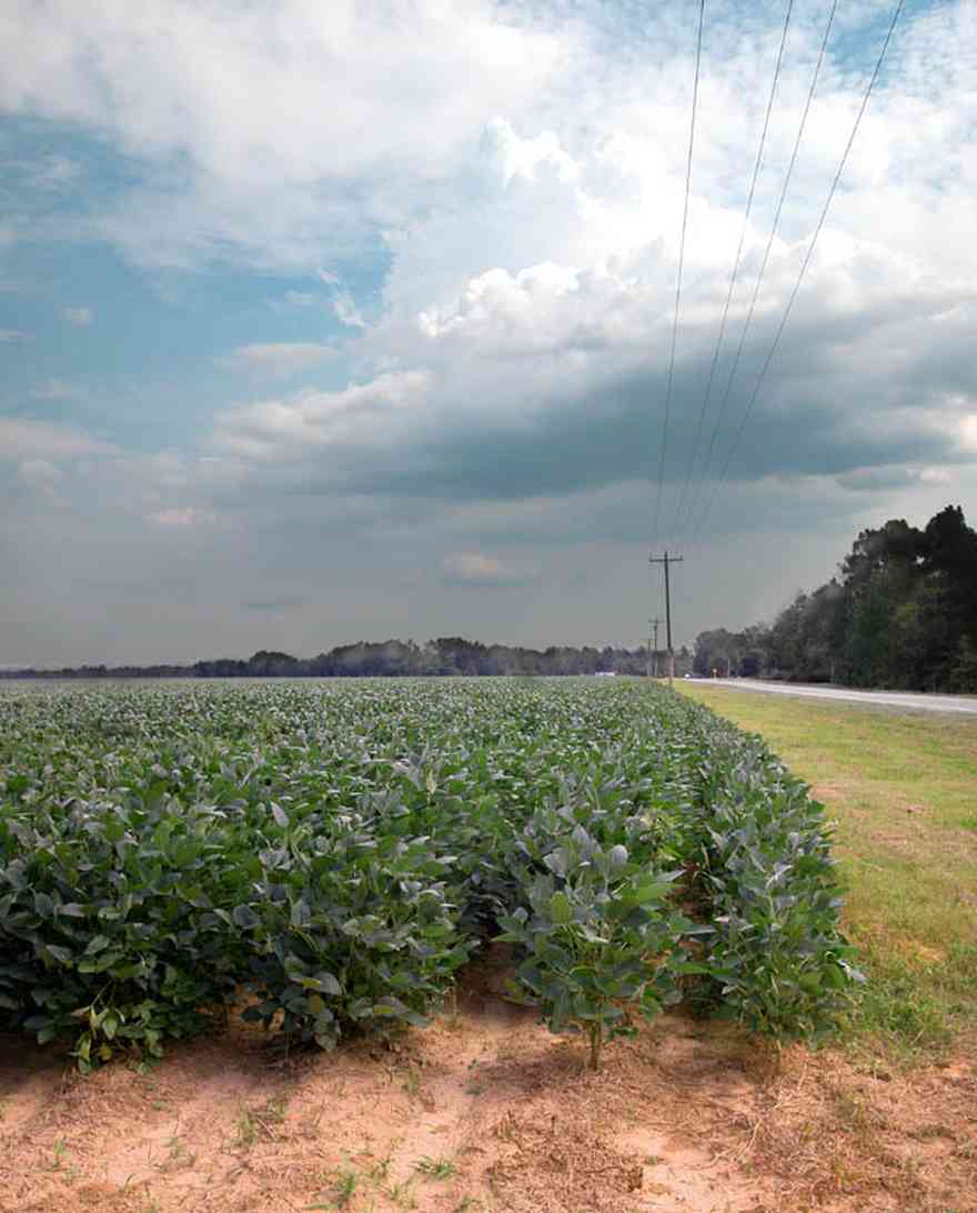
The crop is planted in late May or early June. By July the plants will shade out the center of the row before blooming.
-

The 60 acre field is located on Highway 97 in the Walnut Hill community.
-
-
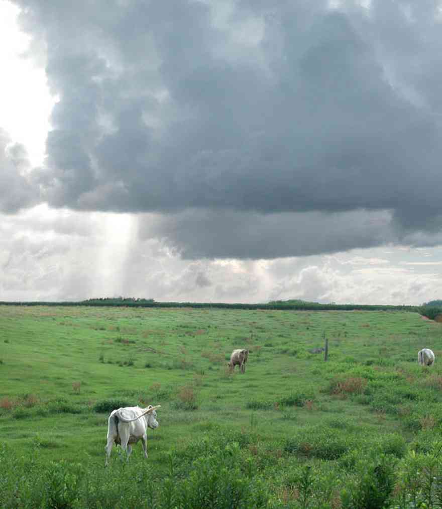
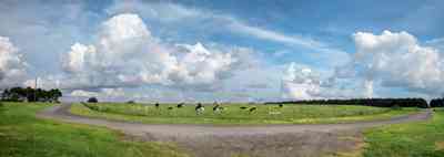
There are several dairy farms along Kansas Road.
-

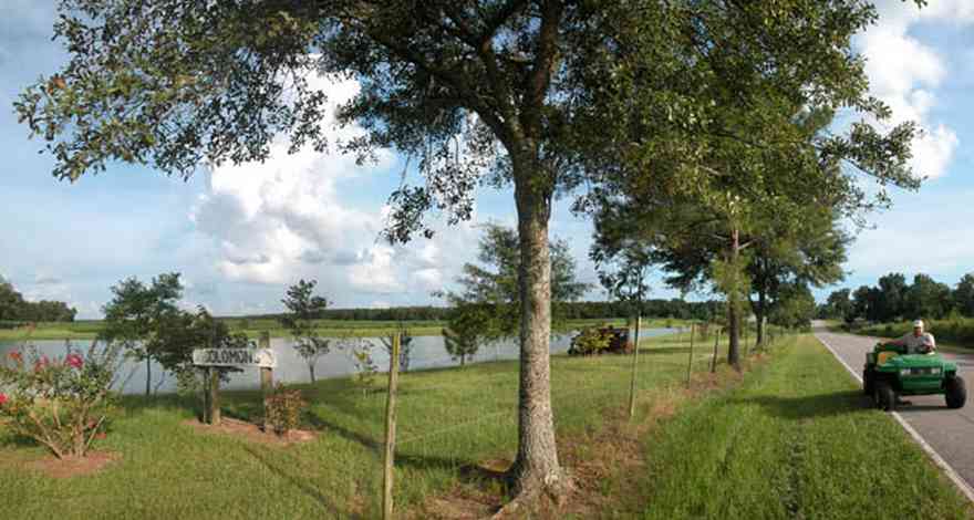
There are catfish ponds on both sides of the dirt road.
-

The pond is the foreground is one of many catfish ponds in the area. There are over 1,000 such ponds in the neighborhood.
-
-
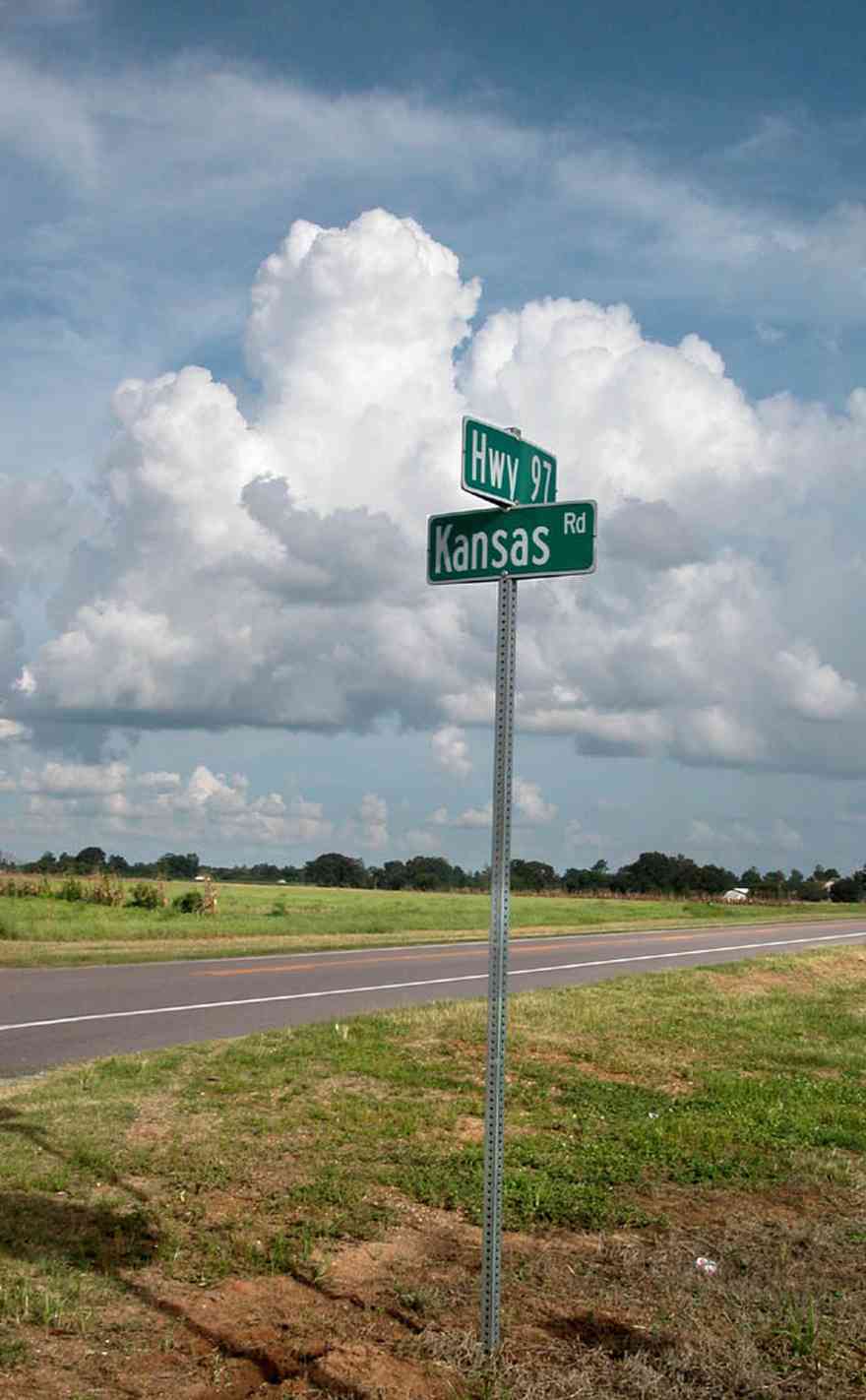
All of the land fronting on Kansas Road is under cultivation as row crops or in use as pasture land.
-

There are cotton fields stretching for several miles on both sides of Kansas Road.
-
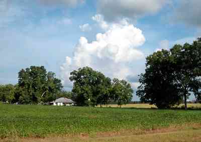
Mennonite farmers are making agriculture a viable way of life in Escambia County.
-

The farm is located at the intertection of Morgan and Arthur Brown Road.
-
-
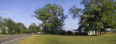
The farm is located on Highway 97 in the Walnut Hill community.
-
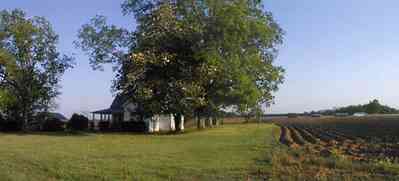
The farm buildings are surrounded by extensive fields in spring cultivation.
-
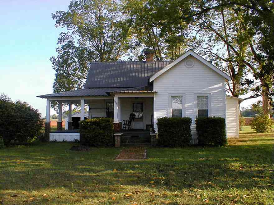
The small farmhouse exhibits traditional Craftsman architectural style.
-
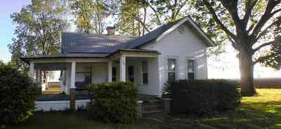
The house is framed with an overstory of pecan trees.
-
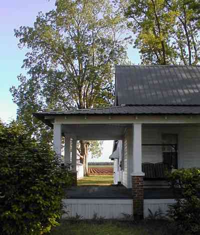
The fields can be seen from the side porch.
-
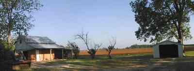
A small barn is located to the east of the main house.
-

The east side of the barn faces Highway 97.
-

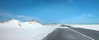
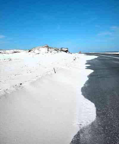
The road was damaged by Hurricanes Ivan and Dennis, but has been repaired repeatedly. The county views the road as a safety issue since they can use it to get to the two bridges off the island and so will repair it as often as need be.
-
-

-

-
-

These were taken just before the road was finished and then damaged again by Dennis.
-
-
-
-
-
-
-
-
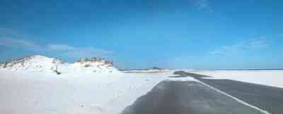
There are few large dunes along the gulf side.
-

Repairs to J. Earle Bowden Way, the 12-mile road through Gulf Islands National Seashore connecting Navarre Beach and Pensacola Beach, are complete. The route is clear and open for the first time since July 2005, when Hurricane Dennis destroyed recently completed repairs from 2004’s Hurricane Ivan.

 The ranch is located on Highway 87 North.
 The picturesque ranch is a cattle farm.
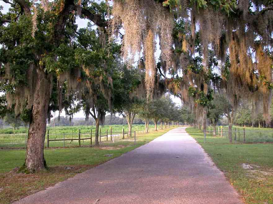
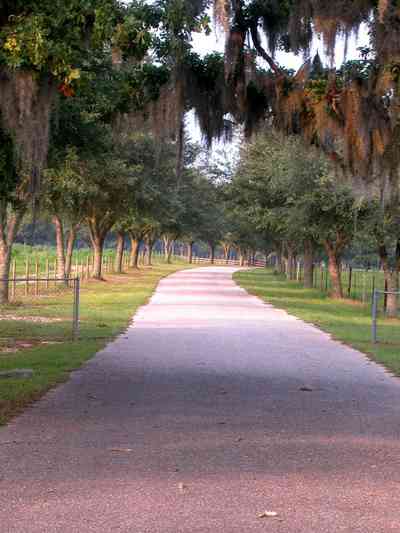
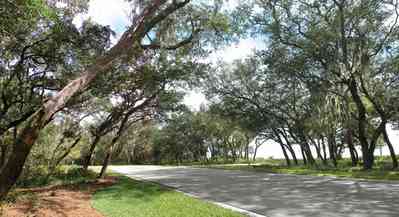
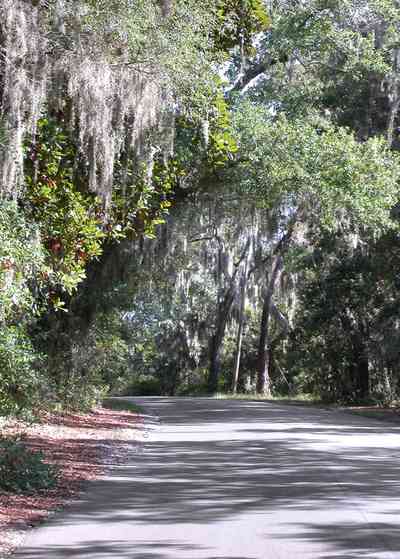
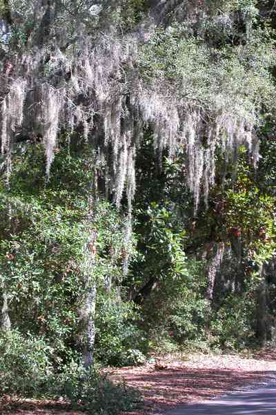
 Spanish moss hangs from the oak trees which form a tunnel over the road. For information about Spanish moss, click here.


 Whimsical sculptures and signs can be found on the Matthews farm.
 There are about 100 head of cattle in this herd.
 The south road is lined by an avenue of young live oak trees.
 The road follows the gently rolling hills.
 There are several lakes in the valley. The road winds around the lakes.


 The oak-shaded road leads to the cemetery.
 On a hill just west of the Village of Bagdad, Florida in Northwest Florida, in the middle of mighty live oaks, rest the people who created, with their own bare hands, notably the largest economic concerns in the State of Florida at the turn of the 20th Century.
 The highway curves around newly planted fields.
 The farmland is located on a ridge of hills above the Blackwater River basin.
 County roads wind through the Blackwater River State Forest and Park.
 This area of the park is forested in long-leaf pines. The forest is maintained by burn-off so that there is no secondary growth. A carpet of bracken fern is the dominant flora of the ground cover in the pine forest.
 There is a three mile length of winding road through this section of the forest.

 The road descends into a low lying area surrounding Coldwater Creek. The stables and recreational area are located on the south side of the creek.
 Coldwater Creek runs through the park.


 The 15 acre lake is located in rural Escambia County.
 The Victorian mansion was built in 1904.
 The home is constructed entirely of heart pine wood.
 Columns that are as wide as many of the surrounding trees flank the front door with its heavy beveled glass insets that have rippled under the weight of years. The spacious interior contains 18 rooms.
 There are 6 bedrooms, 4 baths, 12 fireplaces, office, parlor, study, living, dining, kitchen, utility room, and third-floor ballroom in the 7500 square foot house.
 The mansion was built by one of the owners of the Alger Sullivan lumber mill.
 The sheltered portico is attached to the west side of the house.
 At the beginning of the 20th century, Century, Florida was the nation's leading producer of Southern pine timber.
 Pecan orchards flank the house in three directions.
 A long entrance road leads up a hill to the three-story mansion.
 A row of crape myrtle trees line the driveway.
 The property is located on Highway 4A.
 The carriage house is located directly behind the main house.
 The stable and pump house are located adjacent to the carriage house in the rear of the property.
 The back of the main house can be seen in the left side of the photograph.
 The water was pumped from an artisan spring to the house.
 There are many old hardwood trees on the property, such as the oak pictured above.
 The lake is approximately eight acres.
 The lake is decked on the east side with concrete.
 A man-made waterfall functions as the spillway for the lake.
 The rocks that form the waterfalls were brought from the old lumber mill.
 Tannenheim is German for fir tree house.
 The lake is surrounded by mature oaks and native hardwoods.
 The front of the farm faces Kleinschmidt Road. The deciduous trees are pecans. There is a grove along the property line on the east side of the farm. The Heil home is a small craftsman cottage in the center of the frame.
 A dirt road runs alongside of the east field. Rolls of irrigatioin equipment and outbuildings can be seen in the right side of the frame. The greens can be seen int he center. There is a utility line alongside on the far left.
 The utility buildings and irrigation equipment can be seen in the distance along the tree line.
 A pecan orchard frames the field of greens along the dirt road.
 Much of the produce in the area is grown in the Elberta farm community.
 A stand of long-leaf pines and slash pines create a picturesque view of pasture land along this country road.
 The dirt road and the farmland are barely distinguishable.
 Pecan trees line the road. There are numerous old orchards on this flat plain.
 The narrow dirt road runs alongside fields of vegetables
 The dirt track opens on March 21st, 2003.
 The trck opened around 1975, closing in 1997. It reopened in 1999.


 The road to the fortifications bisects the narrow barrier island.
 Highway 178 bisects the Holland fields. A 5 acre tilled area on the north side of the road is prepared for the next crop.
 The entrance to the barn and house is on the far right of the photograph. The 5 acre tilled field can be seen on the other side of the road.
 Homer Holland Road is accessed from Highway 178. It runs alongside of the Holland barn and home. The trees are deciduous water oaks and sweet gums.
 Water oaks and sweet gum trees line the west side of Homer Holland Road. The 15 acre pumpkin patch can be seen through the trees.
 The Holland farmhouse can be seen through the trees. The driveway is typical of dirt roads and driveways which are composed of red clay.
 The Holland family settled the area over 100 years ago. Bruce Holland is a well known farmer who sells produce at his barn on Hwy 178. His farm has been featured on the WEAR TV 3 feature "Our Acre".
 The church is located at the corner of Chumukla Highway and 178.
 Sycamore trees line Highway 178 at Sundance Farm.
 The range of the sycamore tree is northwest Florida and can be found throughout Santa Rosa and Escambia counties.


 Mature pecan trees flank cotton fields on both sides of the road for several miles.
 The camp is located on Hightway 87 near Milton, FL.
 Miles of narrow roads connect the cabins with the main camp buildings.
 Each section of the tree farm has sign so that the customer can identify the variety.
 This is a reverse of the photograph above showing the relationship of the green rye pasture to the northwest.
 The view from the west tree lot looks back on the green pasture. The mature pines on the right of the frame can be seen as the tree line in the photograph above on the left of the upper tree line.
 Mr. Dean Schnoor is the proprietor of the Chrismas tree farm.
 Hundreds of school children visit the farm every year.
 The tree farm is located on Penton Road.
 There are interesting old signs on the green barn.
 The red brick road can be accessed off Highway 90 on the east side of the Blackwater River.
 The road is also known as the Old Spanish Trail.
 The red brick road is still in use as a thorofare in a 1940's East Milton neighborhood. The CSX rail line runs alongside of the road.
 The restored road runs along Highway 90.
 The land on either side of Highway 90 and the Red Brick Road is undeveloped for approximately five miles on the east side of Milton.

 Blackwater Bay can be seen from the road.
 Womack Road is about three miles north of the town of Milton in Santa Rosa County.
 The road winds through a wooded area.
 There is a small restaurant about one mile from Munson Highway
 The first 1/2 mile of the road winds through a forested area.
 Oak trees form a canopy over the road.
 The term hammock is applied to an area characterized by a diverse collection of bother deciduous and evergreen hardwood trees.


 A windmill and chimney are all that remain at the old farmstead along a dirt road in northern Escambia County.
 Fields of winter wheat are planted as grazing land.
 The house fronts on Mulatto Bayou.

 The store is located on the northeast corner of the intersection of Highway 4 and the Munson Highway.
 The farmhouse has a pyramidal roof and front porch indicative of the four-square Georgian Victorian style.
 The beach road bisects Santa Rosa Island.
 This aerial shows the road that goes the length of Santa Rosa Island. All beach areas can be reached by road, but the road can't be seen from the water.
 The bar is located on the state line between Florida and Alabama.

 Pecan trees divide the homestead's driveway from the adjacent fields.

 Oak trees line the cotton field adjacent to the Escambia Grain Coop silos.
 This is the only farm cooperative grain elevator in northwest Florida.
 There are three main buildings in the complex. The office is on the left, the grain elevator is immediately behind the office building and the fertilizer house is on the right of the photograph.
 Gobbler Road is in the Walnut Hill Community off Highway 97.
 There are thousands of acres in cultivation in the Walnut Hill community planted in a variety of crops.
 The crop is planted in late May or early June. By July the plants will shade out the center of the row before blooming.
 The 60 acre field is located on Highway 97 in the Walnut Hill community.
 There are several dairy farms along Kansas Road.
 There are catfish ponds on both sides of the dirt road.
 The pond is the foreground is one of many catfish ponds in the area. There are over 1,000 such ponds in the neighborhood.
 All of the land fronting on Kansas Road is under cultivation as row crops or in use as pasture land.
 There are cotton fields stretching for several miles on both sides of Kansas Road.
 Mennonite farmers are making agriculture a viable way of life in Escambia County.
 The farm is located at the intertection of Morgan and Arthur Brown Road.
 The farm is located on Highway 97 in the Walnut Hill community.
 The farm buildings are surrounded by extensive fields in spring cultivation.
 The small farmhouse exhibits traditional Craftsman architectural style.
 The house is framed with an overstory of pecan trees.
 The fields can be seen from the side porch.
 A small barn is located to the east of the main house.
 The east side of the barn faces Highway 97.
 The road was damaged by Hurricanes Ivan and Dennis, but has been repaired repeatedly. The county views the road as a safety issue since they can use it to get to the two bridges off the island and so will repair it as often as need be.


 These were taken just before the road was finished and then damaged again by Dennis.


 There are few large dunes along the gulf side.
 Repairs to J. Earle Bowden Way, the 12-mile road through Gulf Islands National Seashore connecting Navarre Beach and Pensacola Beach, are complete. The route is clear and open for the first time since July 2005, when Hurricane Dennis destroyed recently completed repairs from 2004’s Hurricane Ivan.
 One Tank of Gas