-

Highway 31 runs through Brewton. The road is bisected by railroad tracks.
-
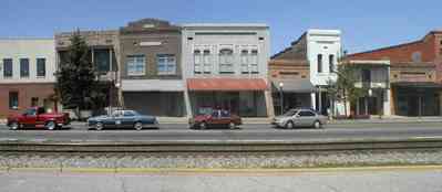
Storefront facades have been restored.
-
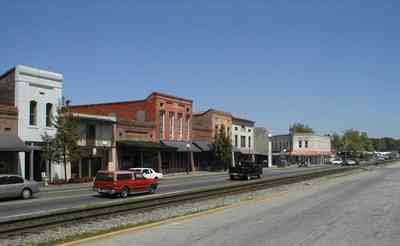
The building at the far end of the street is Ole Willie Restaurant.
-

The western end of the center of Brewton is the intersection of Sawell Road and Highway 31.
-

The buildings on the south side of the railroad tracks stand alone unlike the continuous storefronts on the north side of the street.
-
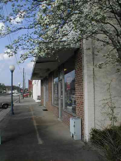
The building is located on the south side of Highway 31.
-
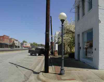
A lone dogwood tree occupies an empty lot between buildings on the south side of Highway 31.
-
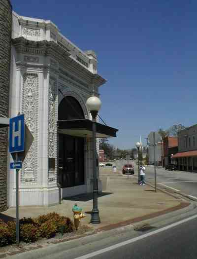
The first bank in the state of Alabama has an elaborately carved marble facade.
-
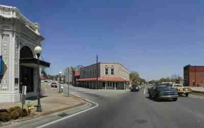
The bank is on the corner of Highway 31 and Belleville Avenue.
-

Ole Willie's Restaurant is situated on the corner of Belleville Avenue. The late 19th century building was a drugstore that was converted to a restaurant in the 1960's.
-
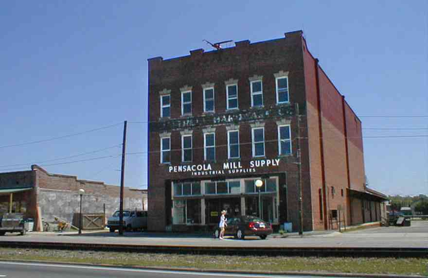
Pensacola Mill Supply is located on the south side of the railroad tracks.
-
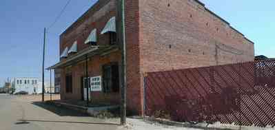
Industrial buildings are located west of Sowell Road.
-

Metal fabrication and a cement plant are among the industrial locations.
-
-

Across the CSX railroad yard from Century is a view of downtown Flomaton, Alabama
-
The CSX railroad trestle and the Gulf Breeze Bridge can be seen in the background.
-
-
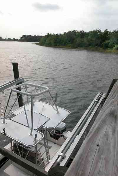
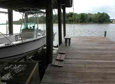
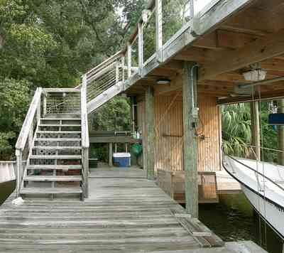
The walkway terminates on top of the boar house.
-
-

A narrow peninsula forms a barrier between the bay and the entrance to the bayou.
-
-
-
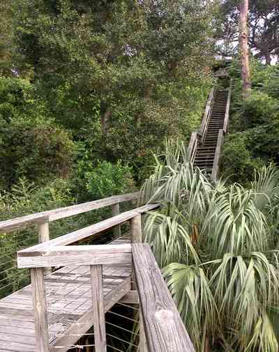
The hillside is covered with natural foliage to prevent erosion. The bay bluffs in this area are unique in the State of Florida and were formed by erosion of the Escambia River which empties into Pensacola Bay.
-
-
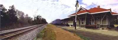
This is the second depot, built in 1909. Electric lights were added in 1917, but the sole heating source remained a pot-bellied stove that is still used today.
-
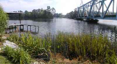
The trestle bridge can be seen from the riverwalk.
-
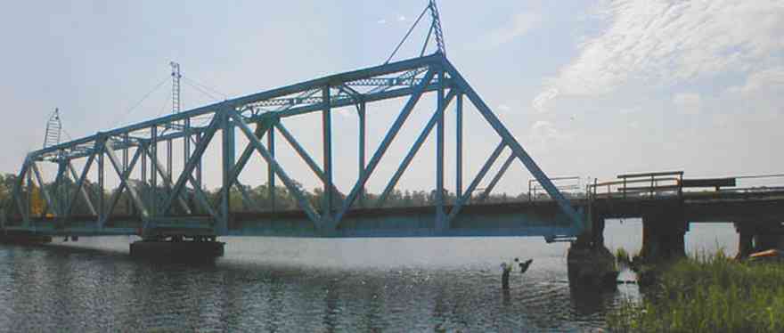
The drawbridge is located directly downriver from the automobile bridge.
-

Fields of winter wheat are planted as grazing land.
-
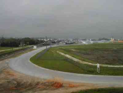
The railyard can be seen from a nearby overpass.
-
-
-

-
-
-
-
-
-
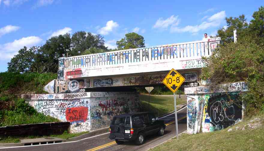
The underpass structure serves as a billboard for graffiti.
-
The 17th Avenue railroad trestle can be seen in upper left of the photograph. The spoil island in the center of the picture has formed at the mouth of Bayou Texar.
-

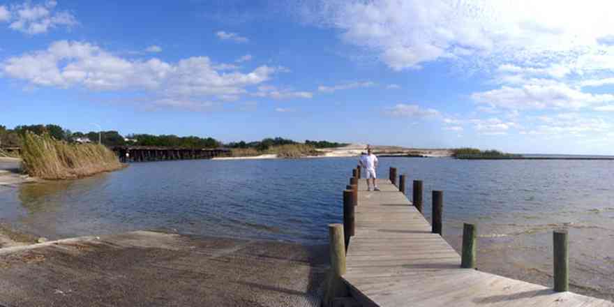
The CSX trestle crosses the mouth of Bayou Texar. The tracks continue along the red clay bluffs of Scenic Highway.
-

This is a view of the building from the Port. It faces Bayfront Parkway.
-

The CSX tracks are at the foot of the bluffs, separated from the beach by a small ridge.
-
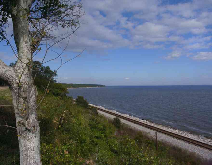
The bluff formation is the only one of its kind along the coast of Florida. The bluffs are composed of red clay and rise 100 feet from the shoreline along Escambia Bay.

 Highway 31 runs through Brewton. The road is bisected by railroad tracks.
 Storefront facades have been restored.
 The building at the far end of the street is Ole Willie Restaurant.
 The western end of the center of Brewton is the intersection of Sawell Road and Highway 31.
 The buildings on the south side of the railroad tracks stand alone unlike the continuous storefronts on the north side of the street.
 The building is located on the south side of Highway 31.
 A lone dogwood tree occupies an empty lot between buildings on the south side of Highway 31.
 The first bank in the state of Alabama has an elaborately carved marble facade.
 The bank is on the corner of Highway 31 and Belleville Avenue.
 Ole Willie's Restaurant is situated on the corner of Belleville Avenue. The late 19th century building was a drugstore that was converted to a restaurant in the 1960's.
 Pensacola Mill Supply is located on the south side of the railroad tracks.
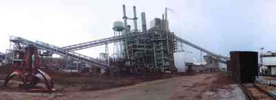
 Industrial buildings are located west of Sowell Road.
 Metal fabrication and a cement plant are among the industrial locations.
 Across the CSX railroad yard from Century is a view of downtown Flomaton, Alabama
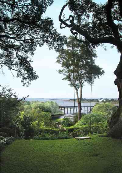
 The CSX railroad trestle and the Gulf Breeze Bridge can be seen in the background.
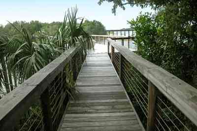
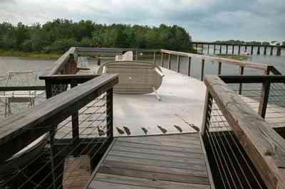
 The walkway terminates on top of the boar house.
 A narrow peninsula forms a barrier between the bay and the entrance to the bayou.

 The hillside is covered with natural foliage to prevent erosion. The bay bluffs in this area are unique in the State of Florida and were formed by erosion of the Escambia River which empties into Pensacola Bay.
 This is the second depot, built in 1909. Electric lights were added in 1917, but the sole heating source remained a pot-bellied stove that is still used today.
 The trestle bridge can be seen from the riverwalk.
 The drawbridge is located directly downriver from the automobile bridge.
 Fields of winter wheat are planted as grazing land.
 The railyard can be seen from a nearby overpass.


 The underpass structure serves as a billboard for graffiti.
 The 17th Avenue railroad trestle can be seen in upper left of the photograph. The spoil island in the center of the picture has formed at the mouth of Bayou Texar.
 The CSX trestle crosses the mouth of Bayou Texar. The tracks continue along the red clay bluffs of Scenic Highway.
 This is a view of the building from the Port. It faces Bayfront Parkway.
 The CSX tracks are at the foot of the bluffs, separated from the beach by a small ridge.
 The bluff formation is the only one of its kind along the coast of Florida. The bluffs are composed of red clay and rise 100 feet from the shoreline along Escambia Bay.
 One Tank of Gas