-
-
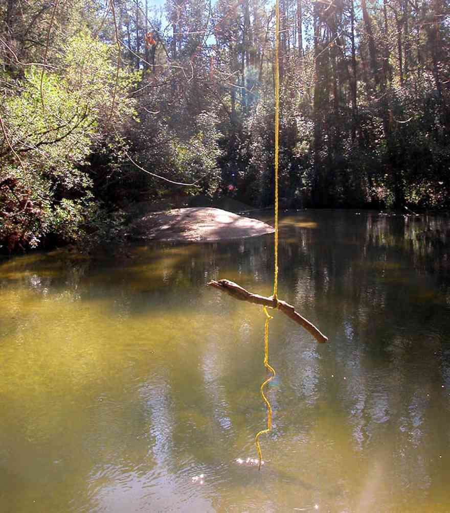
A branch of the Coldwater Creek flows through the Matthews property.
-

The rolling farmland has well kept fields planted in winter rye grass on Highway 97.
-

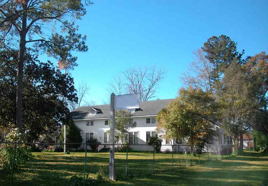
St. Elizabeth Catholic Church was built in 1923. It is located in north Escambia County.
-
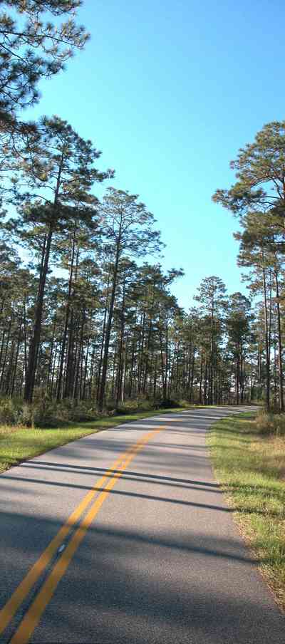
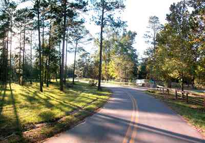
There is a three mile length of winding road through this section of the forest.
-
-
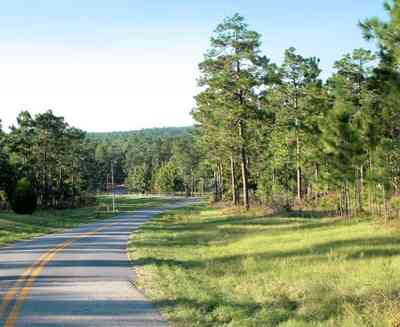
The road descends into a low lying area surrounding Coldwater Creek. The stables and recreational area are located on the south side of the creek.
-
-
-
-

-
-
-

-
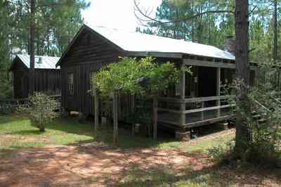
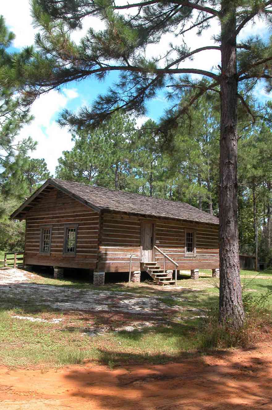
This is a typical Cracker homestead. Cracker refers to the unpretentious people and architecture found on farms and in rural communities still sprinkled throughout the Florida peninsula and panhandle wetlands.
-
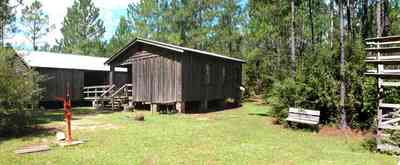
A separate kitchen structure was built out back to isolate the heat of cooking and the hazards of fire.
-
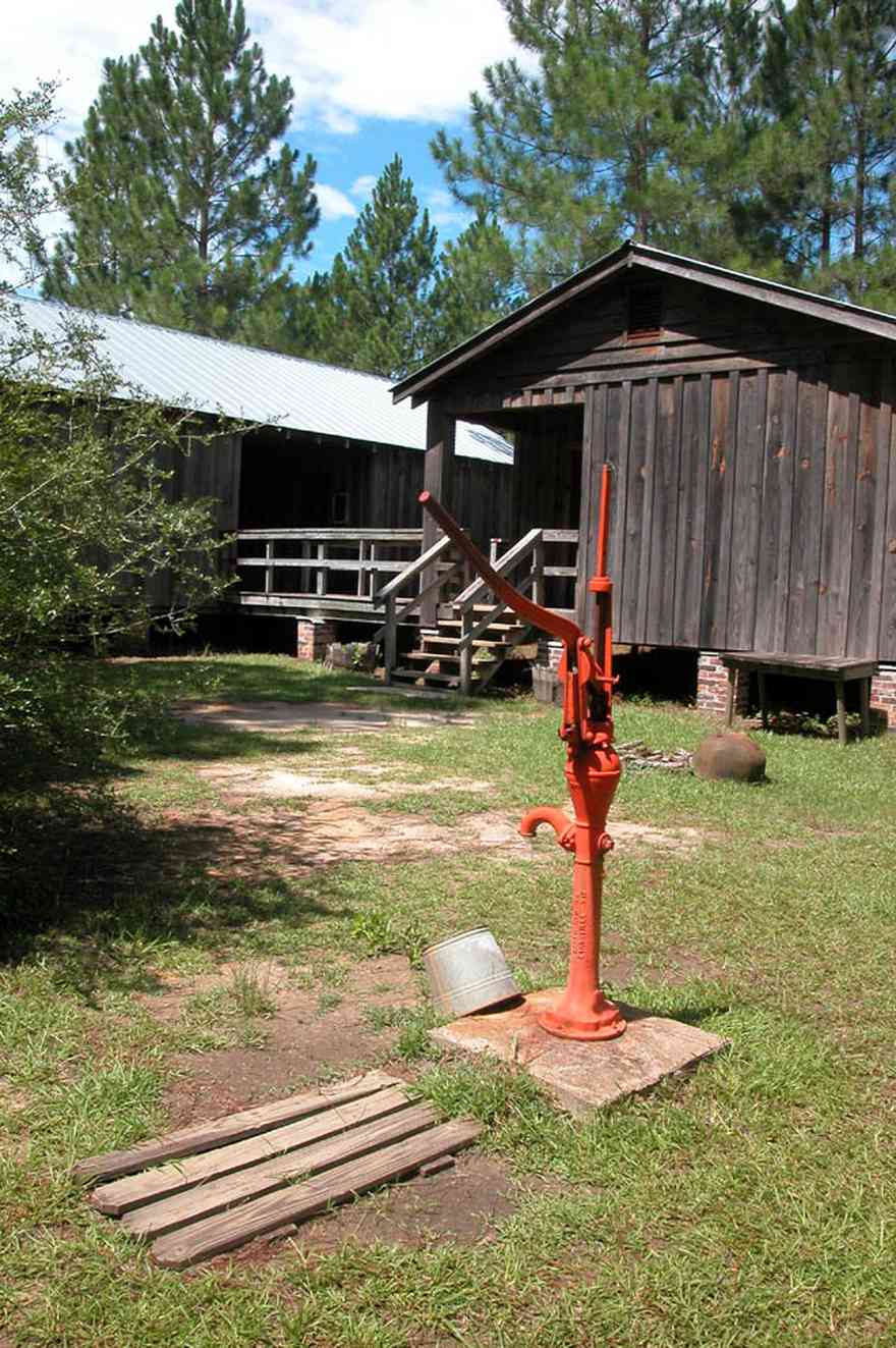
Water was pumped by hand. The well was dug at the rear of the house adjacent to the kitchen.
-
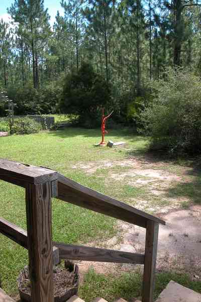
The pump is set just off the back of the main house.
-
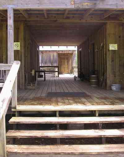
With broad porches and this "dog trot" breezeway, the interior space was somewhat insulated for direct sunlight. It also served as a sheltered workspace. The kitchen building is at the end of the walkway.
-
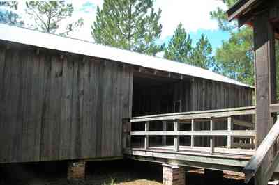
Houses were built high up off the damp ground on piers.
-
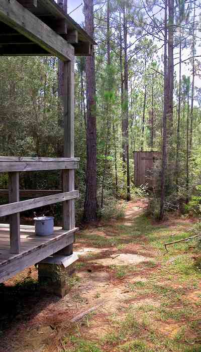
The outhouse can be seen through the trees. Toilets were small wooden buildings commonly with two seating spaces. Unheated, the privy was cold in the wintertime. Waste built up under the seat until it was necessary to move the privy, or construct a new one. At night, women and girls made use of a flanged bucket known asa a slop jar and kept it under their beds. There is a slop jar on the corner of the porch. Indoor plumbing did not come to most farms until the 1930's, 1940's, or 1950's.
-
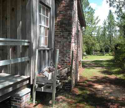
Cracker homesteaders oriented their houses on a north-south axis which maximized solar impact on all three sunny sides. Such a tactic helped to keep the wall dry. Placement of the fireplace and chimney in the north gable end would keep that fourth sunless wall dry as well. In the photograph, the wood is stacked off the ground alongside of the chimney.
-
-
-
-
-
-
-

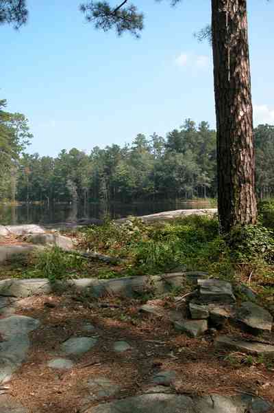
The 15 acre lake is located in rural Escambia County.
-

-

-
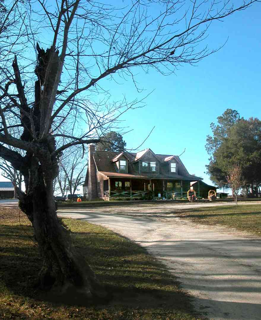
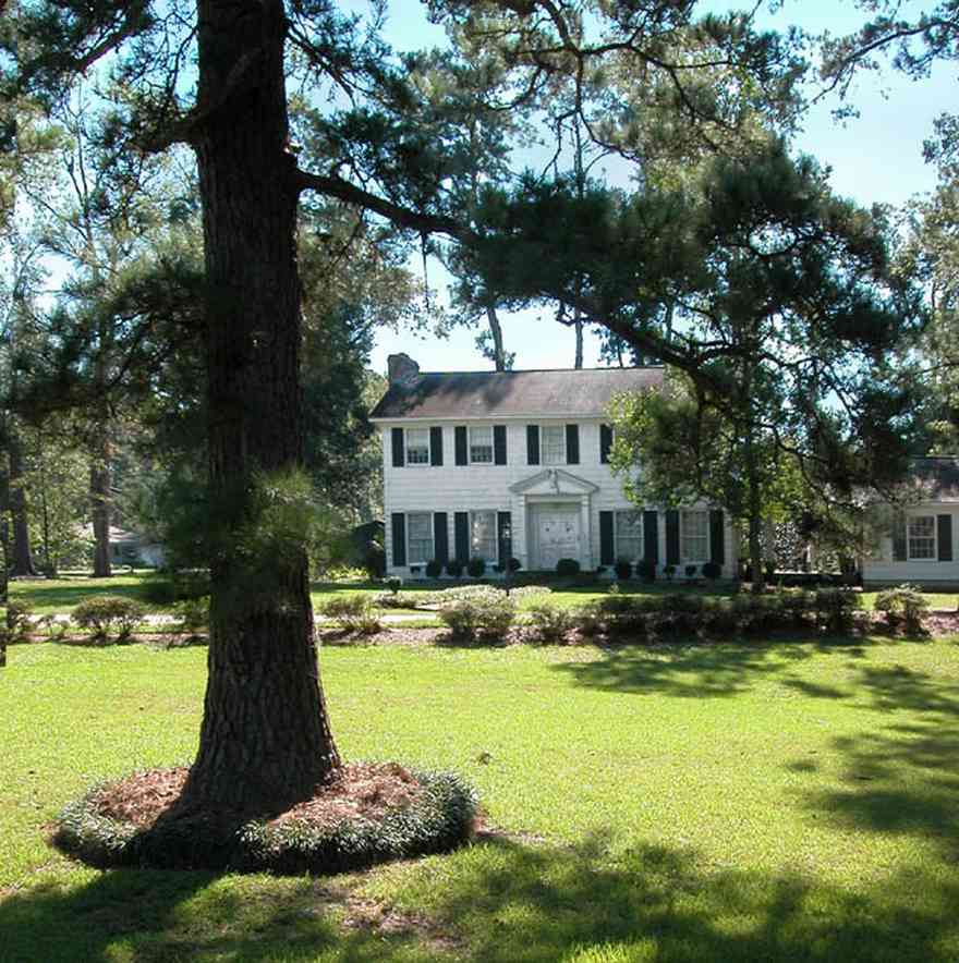
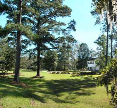
The home is centrally placed on a hill.
-
-

Stands of pines and firs comprise most of the groves adjacent to the lakes.
-
Tannenheim is German for fir tree house.
-

This is an example of an upland longleaf pine forest with wire grass ground cover.
-

An roots of a long-leaf pine tree resemble an octopus.
-
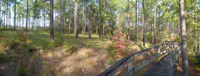
The boardwalk leads the hiker through the uplands pine forest.
-
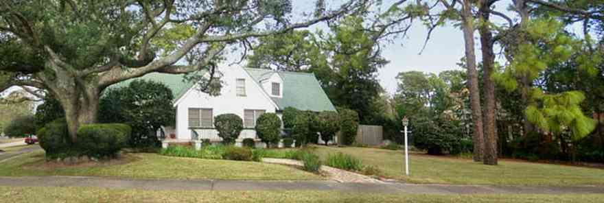
The East Hill neighborhood has the advantage of proximety to parks. This home faces Bayview Park and Bayou Texar.
-

The house faces Bayview Park and overlooks Bayou Texar.
-
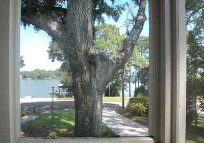
Bayou Texar can be seen from the screen porch.
-
-

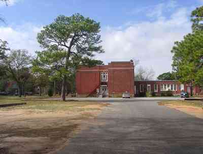
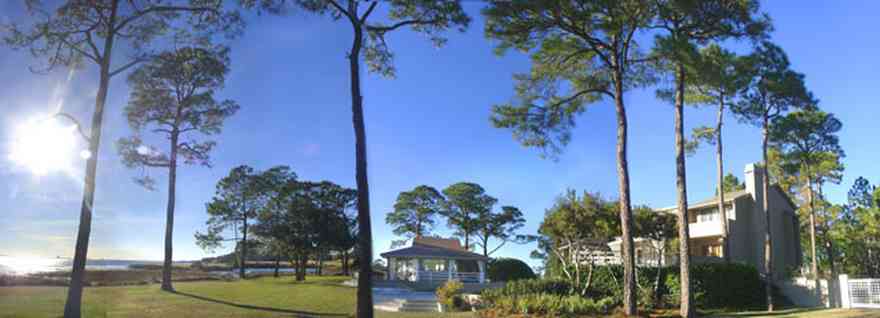
A stand of long-leaf pines and slash pines create a picturesque view of pasture land along this country road.
-
-

-
-

-

-

-
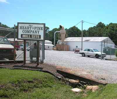
The company specializes in virgin heart pine wood for tongue-in-grove flooring.
-
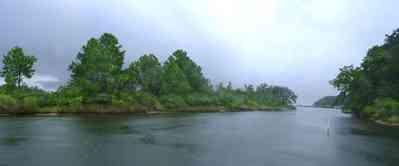
Dead Man's Island is the left bank of the channel leading out into Escambia Bay.
-
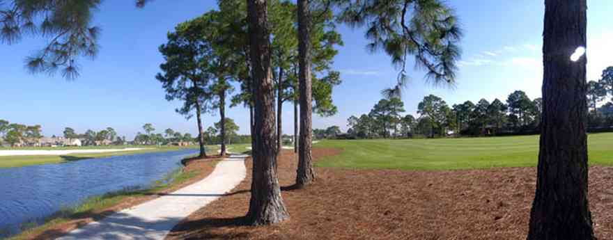
The course follows narrow canals into the Tiger Point subdivision.
-
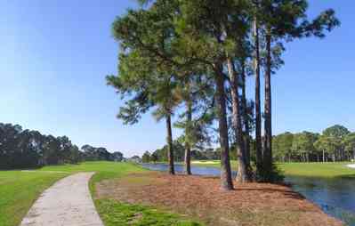
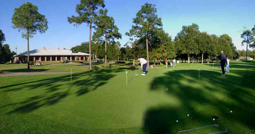
Tiger Point's practice area offers golfers, from beginner to professional, ideal facilities to improve their game.
-

The restaurant and banquet facilities at Tiger Point are acclaimed as the Emerald Coast's finest.
-
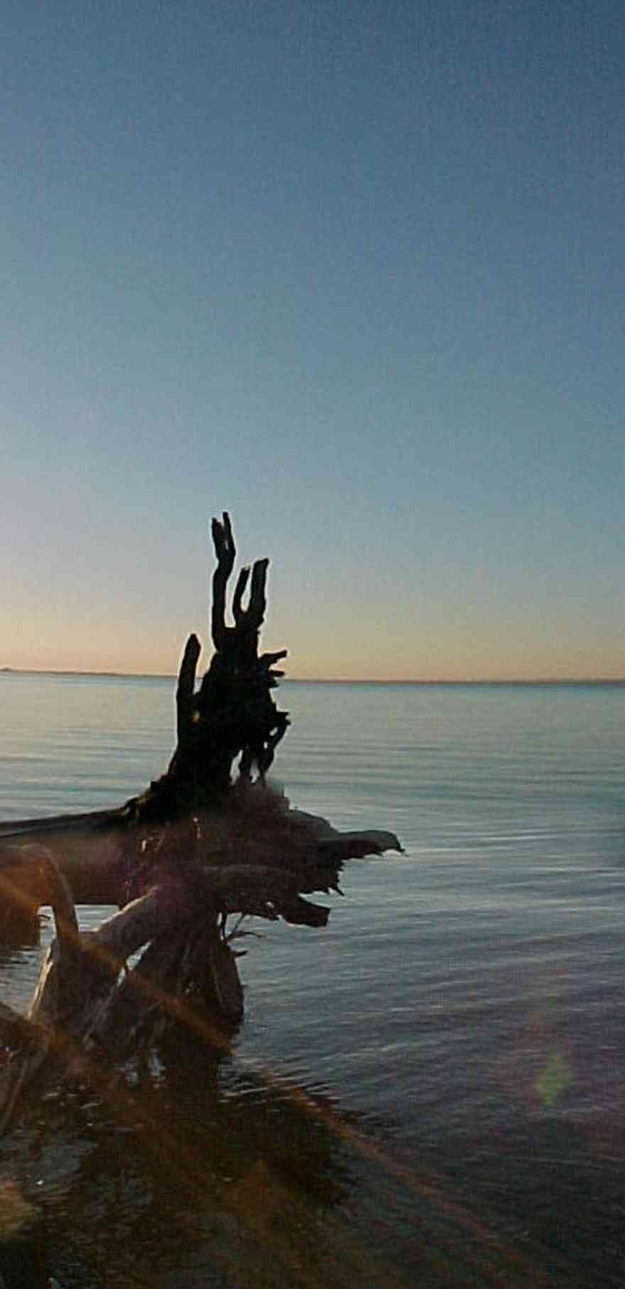
The restaurant and banquet facilities at Tiger Point are acclaimed as the Emerald Coast's finest.
-
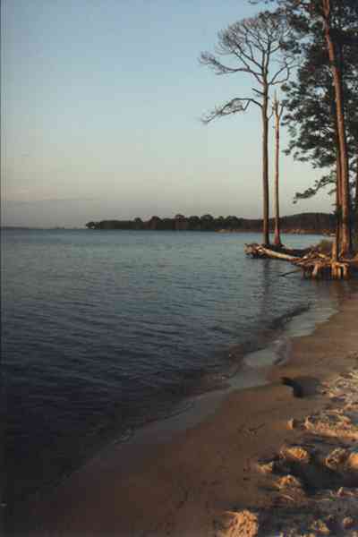
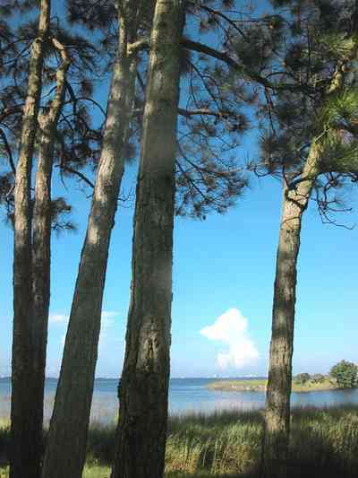
Long-leaf pine trees grow along the beach on the bay.
-
-

-
-
-
-
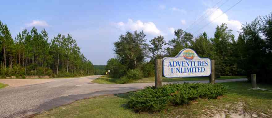
The camp is located on Hightway 87 near Milton, FL.
-

The dining hall and community gathering place is located on Wolfe Creek.
-
There is a old growth forest of long-leaf pines surrounding the cleared acreage.
-
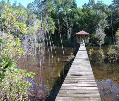
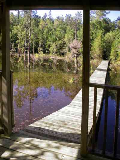
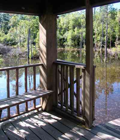
Water oak, overcup oak, diamond-leaf oak, water hickory, sugarberry, several species of ash, American sycamore and river birch are among the more commonly seen trees.
-
-
-
-
-
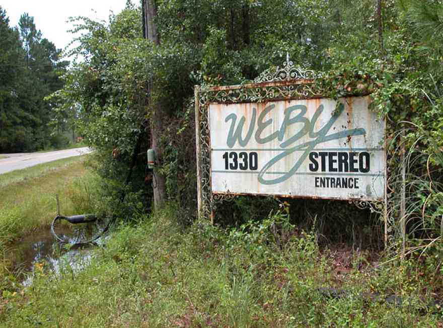
The entrance of the radio station is located on Ward Basin Road.
-
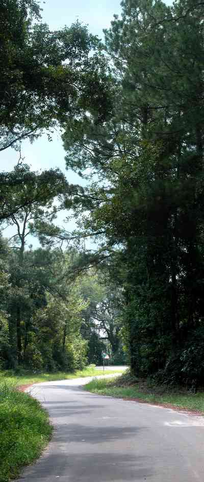
The road winds through a wooded area.
-

Fields of winter wheat are planted as grazing land.
-

-
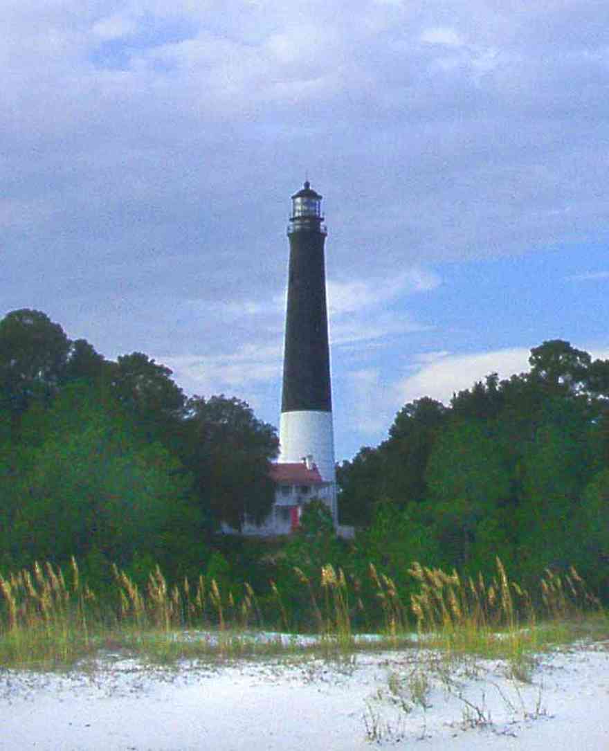
This view of the lighthouse shows its relationship to the coastline. Sea oats in the foreground are the predominate vegetation that grow along the dunes.
-

The entrance to the home is accessible over a quaint wooden bridge with a key code at the gate.
-

The wooden bridge is built across a wetland area. which forms a development buffer between the shoreline homes and a subdivision to the north.
-
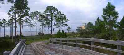
Santa Rosa Sound is visible in the background.
-
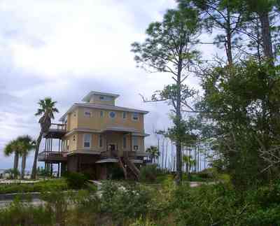
This is a southeast view of the home taken from the wetland area.
-
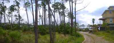
An east view of the home shows the stand of young pines in the wetlands to the north.
-
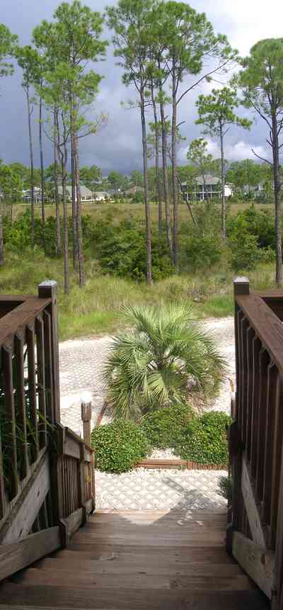
The facade of the home faces the wetland. The front door is on the second floor landing.
-
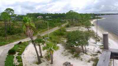
The driveway and bridge across the wetland area is visible in this eastern view from the second floor balcony of the house.
-
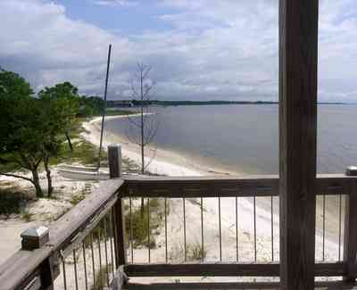
From the second level deck, an northeasterly view reveals a shoreline with white crystal beaches. This area is known for sugar sand dune formations that have been called the whitest beaches in the world.
-
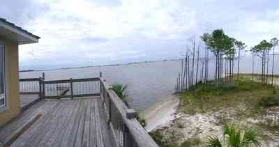
This is a southerly view of the sound shot from the third level deck.
-
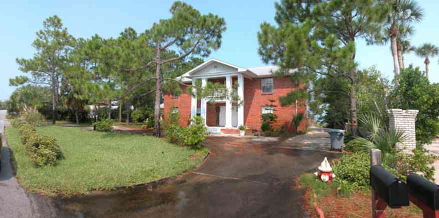
-

The entrance to the college features a clock tower.
-

-
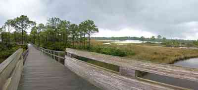
The boardwalk offers a panoramic view of Big Lagoon, the park and Gulf Islands National Seashore across the Intracostal Waterway.
-

Valued as wetlands, the salt marshes attract and provide important habitat for numerouse birds and animals.
-

The sand scrub pine trees have odd and twisted shapes.
-
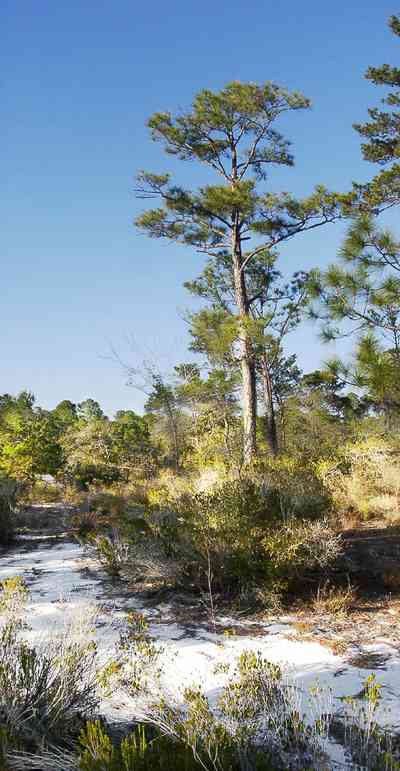
The sand pine forest is located on the sound side of the key on older dunes.
-
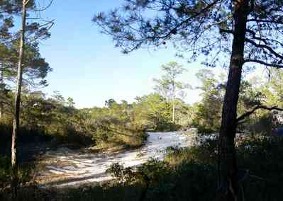
Ridges of old dunes form hills and valleys through the forest.
-
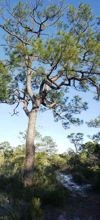
The overstory in some locations is composed of an older growth of short-leafed pine tree.
-
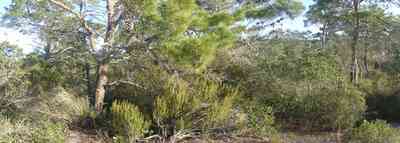
The forest supports a variety of plants and trees in a typical open coastal wood.
-
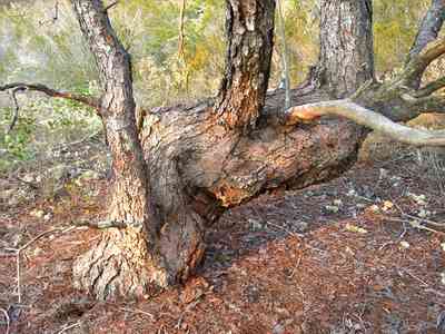
The trunks of the sand pine trees twist and turn into bizarre shapes.
-
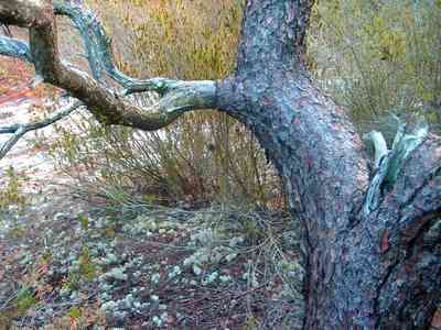
The colors of Florida rosemary compliments the green lichens and mosses.
-
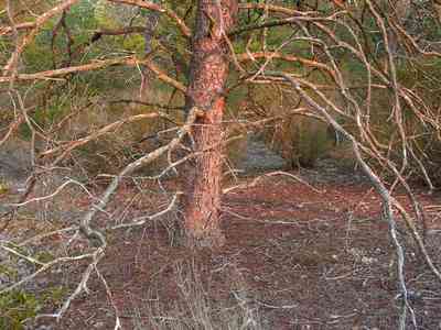
Some of the sand pines have pinwheel shapes.
-
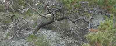
Lichen grow in shaded areas of the sand scrub forest.
-
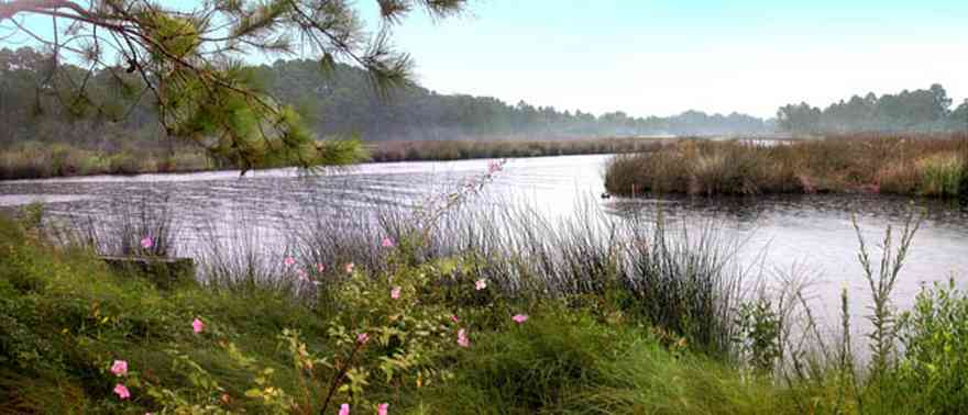
The seagrass meadows are some of the finest to be found anywhere in the world. Similar in appearance to the terrestrial habitats from which they take their name, these meadows are composed of an assortment of low-growing flowering plants that are uniquely adapted to life in a submarine environment.
-

Saw palmettos form part of the undergrowth in the area near the river.
-
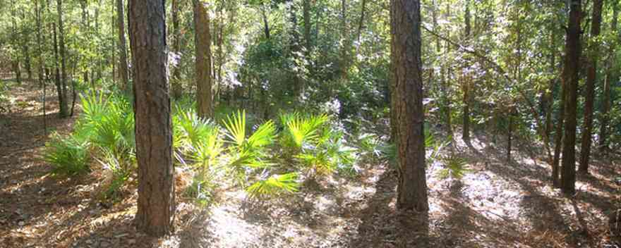
The number of trees and shrubs inhabit these typical communities of slash pine lowlands and hardwood swamps along the Perdido River.
-

The bay is visible on the left of the frame in this view to the north.
-
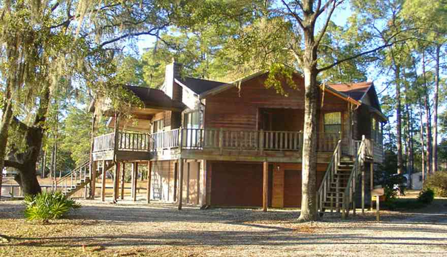
The home is located on Escambia Bay in Santa Rosa County.
-

The home faces west on the bay. It is located on Petersen Point Road.
-
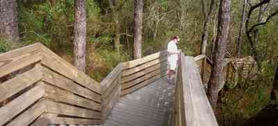
The walkway begins at Scenic Highway and descends to the beach on Escambia Bay.
-
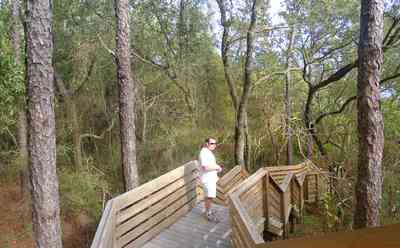
The boardwalk lessens the environmental impact on the bluffs by providing a safe path to the bay.
-
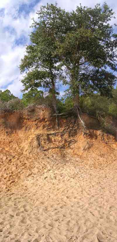
The red clay bluffs fade into the pink sandy beach. The colored sand is a stark contrast to the glimming white quartz sand along the Gulf of Mexico on nearby Pensacola Beach.
-
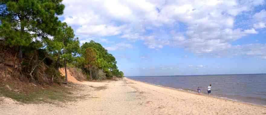
The beach sand is colored pink by the red clay of the bluffs.
-

The CSX tracks are at the foot of the bluffs, separated from the beach by a small ridge.
-

-
-

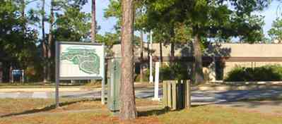
A stand of pine trees can be seen on the left of the photograph. Cattle are grazing in the valley.
-
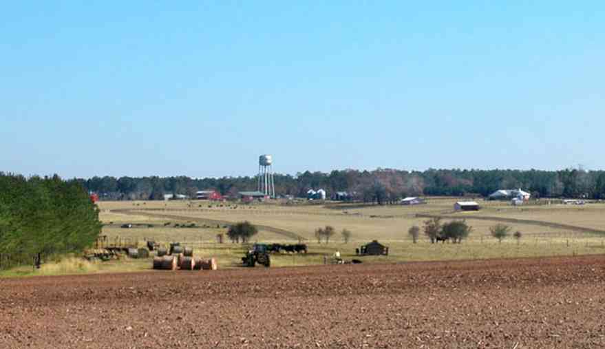
Walnut Hill is an area of gently rolling land settled by Mennonite farmers from Kansas.
-

The plowed field is planted in winter wheat.
-

Cattle graze on the winter wheat.
-

Rolls of hay can be seen on the left of the photograph.
-
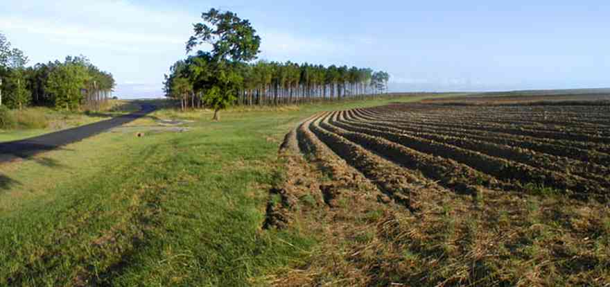
Gobbler Road is in the Walnut Hill Community off Highway 97.
-
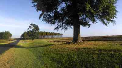
There are thousands of acres in cultivation in the Walnut Hill community planted in a variety of crops.
-
-
-
-
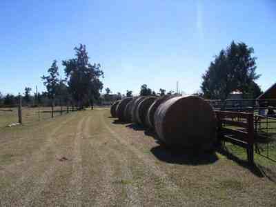
Hay is rolled in bales on the ranch.
-
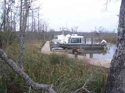


 A branch of the Coldwater Creek flows through the Matthews property.
 The rolling farmland has well kept fields planted in winter rye grass on Highway 97.
 St. Elizabeth Catholic Church was built in 1923. It is located in north Escambia County.
 There is a three mile length of winding road through this section of the forest.
 The road descends into a low lying area surrounding Coldwater Creek. The stables and recreational area are located on the south side of the creek.


 This is a typical Cracker homestead. Cracker refers to the unpretentious people and architecture found on farms and in rural communities still sprinkled throughout the Florida peninsula and panhandle wetlands.
 A separate kitchen structure was built out back to isolate the heat of cooking and the hazards of fire.
 Water was pumped by hand. The well was dug at the rear of the house adjacent to the kitchen.
 The pump is set just off the back of the main house.
 With broad porches and this "dog trot" breezeway, the interior space was somewhat insulated for direct sunlight. It also served as a sheltered workspace. The kitchen building is at the end of the walkway.
 Houses were built high up off the damp ground on piers.
 The outhouse can be seen through the trees. Toilets were small wooden buildings commonly with two seating spaces. Unheated, the privy was cold in the wintertime. Waste built up under the seat until it was necessary to move the privy, or construct a new one. At night, women and girls made use of a flanged bucket known asa a slop jar and kept it under their beds. There is a slop jar on the corner of the porch. Indoor plumbing did not come to most farms until the 1930's, 1940's, or 1950's.
 Cracker homesteaders oriented their houses on a north-south axis which maximized solar impact on all three sunny sides. Such a tactic helped to keep the wall dry. Placement of the fireplace and chimney in the north gable end would keep that fourth sunless wall dry as well. In the photograph, the wood is stacked off the ground alongside of the chimney.


 The 15 acre lake is located in rural Escambia County.

 The home is centrally placed on a hill.
 Stands of pines and firs comprise most of the groves adjacent to the lakes.
 Tannenheim is German for fir tree house.
 This is an example of an upland longleaf pine forest with wire grass ground cover.
 An roots of a long-leaf pine tree resemble an octopus.
 The boardwalk leads the hiker through the uplands pine forest.
 The East Hill neighborhood has the advantage of proximety to parks. This home faces Bayview Park and Bayou Texar.
 The house faces Bayview Park and overlooks Bayou Texar.
 Bayou Texar can be seen from the screen porch.
 A stand of long-leaf pines and slash pines create a picturesque view of pasture land along this country road.


 The company specializes in virgin heart pine wood for tongue-in-grove flooring.
 Dead Man's Island is the left bank of the channel leading out into Escambia Bay.
 The course follows narrow canals into the Tiger Point subdivision.
 Tiger Point's practice area offers golfers, from beginner to professional, ideal facilities to improve their game.
 The restaurant and banquet facilities at Tiger Point are acclaimed as the Emerald Coast's finest.
 The restaurant and banquet facilities at Tiger Point are acclaimed as the Emerald Coast's finest.
 Long-leaf pine trees grow along the beach on the bay.


 The camp is located on Hightway 87 near Milton, FL.
 The dining hall and community gathering place is located on Wolfe Creek.
 There is a old growth forest of long-leaf pines surrounding the cleared acreage.
 Water oak, overcup oak, diamond-leaf oak, water hickory, sugarberry, several species of ash, American sycamore and river birch are among the more commonly seen trees.


 The entrance of the radio station is located on Ward Basin Road.
 The road winds through a wooded area.
 Fields of winter wheat are planted as grazing land.
 This view of the lighthouse shows its relationship to the coastline. Sea oats in the foreground are the predominate vegetation that grow along the dunes.
 The entrance to the home is accessible over a quaint wooden bridge with a key code at the gate.
 The wooden bridge is built across a wetland area. which forms a development buffer between the shoreline homes and a subdivision to the north.
 Santa Rosa Sound is visible in the background.
 This is a southeast view of the home taken from the wetland area.
 An east view of the home shows the stand of young pines in the wetlands to the north.
 The facade of the home faces the wetland. The front door is on the second floor landing.
 The driveway and bridge across the wetland area is visible in this eastern view from the second floor balcony of the house.
 From the second level deck, an northeasterly view reveals a shoreline with white crystal beaches. This area is known for sugar sand dune formations that have been called the whitest beaches in the world.
 This is a southerly view of the sound shot from the third level deck.
 The entrance to the college features a clock tower.
 The boardwalk offers a panoramic view of Big Lagoon, the park and Gulf Islands National Seashore across the Intracostal Waterway.
 Valued as wetlands, the salt marshes attract and provide important habitat for numerouse birds and animals.
 The sand scrub pine trees have odd and twisted shapes.
 The sand pine forest is located on the sound side of the key on older dunes.
 Ridges of old dunes form hills and valleys through the forest.
 The overstory in some locations is composed of an older growth of short-leafed pine tree.
 The forest supports a variety of plants and trees in a typical open coastal wood.
 The trunks of the sand pine trees twist and turn into bizarre shapes.
 The colors of Florida rosemary compliments the green lichens and mosses.
 Some of the sand pines have pinwheel shapes.
 Lichen grow in shaded areas of the sand scrub forest.
 The seagrass meadows are some of the finest to be found anywhere in the world. Similar in appearance to the terrestrial habitats from which they take their name, these meadows are composed of an assortment of low-growing flowering plants that are uniquely adapted to life in a submarine environment.
 Saw palmettos form part of the undergrowth in the area near the river.
 The number of trees and shrubs inhabit these typical communities of slash pine lowlands and hardwood swamps along the Perdido River.
 The bay is visible on the left of the frame in this view to the north.
 The home is located on Escambia Bay in Santa Rosa County.
 The home faces west on the bay. It is located on Petersen Point Road.
 The walkway begins at Scenic Highway and descends to the beach on Escambia Bay.
 The boardwalk lessens the environmental impact on the bluffs by providing a safe path to the bay.
 The red clay bluffs fade into the pink sandy beach. The colored sand is a stark contrast to the glimming white quartz sand along the Gulf of Mexico on nearby Pensacola Beach.
 The beach sand is colored pink by the red clay of the bluffs.
 The CSX tracks are at the foot of the bluffs, separated from the beach by a small ridge.

 A stand of pine trees can be seen on the left of the photograph. Cattle are grazing in the valley.
 Walnut Hill is an area of gently rolling land settled by Mennonite farmers from Kansas.
 The plowed field is planted in winter wheat.
 Cattle graze on the winter wheat.
 Rolls of hay can be seen on the left of the photograph.
 Gobbler Road is in the Walnut Hill Community off Highway 97.
 There are thousands of acres in cultivation in the Walnut Hill community planted in a variety of crops.


 Hay is rolled in bales on the ranch.
 One Tank of Gas