-
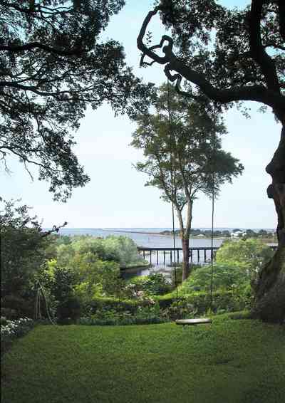
The CSX railroad trestle and the Gulf Breeze Bridge can be seen in the background.
-
-
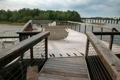
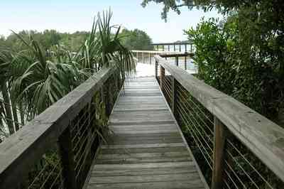
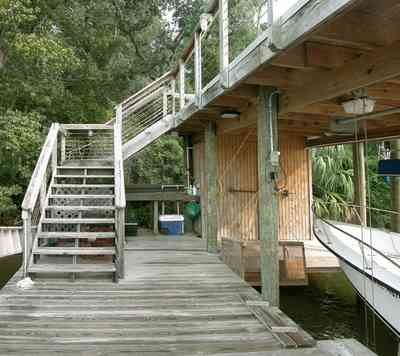
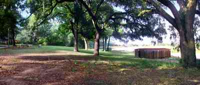
The walkway terminates on top of the boar house.
-
-
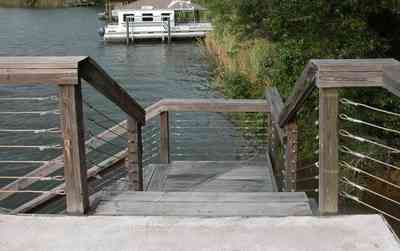
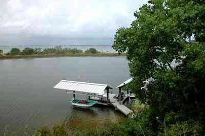
There are 11 homes that have waterfront property at the entrance to the Bayou. Most of those property owners have docks and boathouses.
-

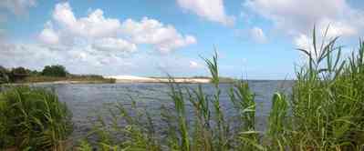
A narrow peninsula forms a barrier between the bay and the entrance to the bayou.
-
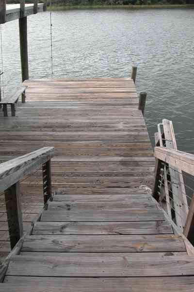
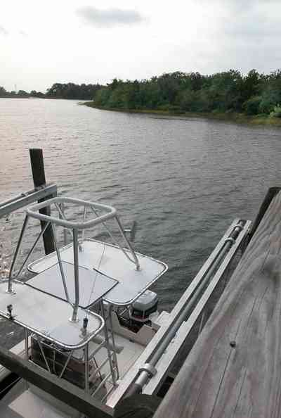
The boat house is located on the left of the photograph.
-
-
-
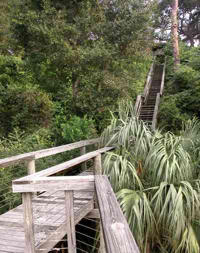
The hillside is covered with natural foliage to prevent erosion. The bay bluffs in this area are unique in the State of Florida and were formed by erosion of the Escambia River which empties into Pensacola Bay.
-
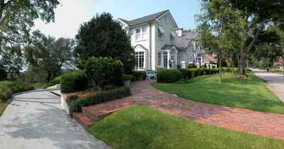
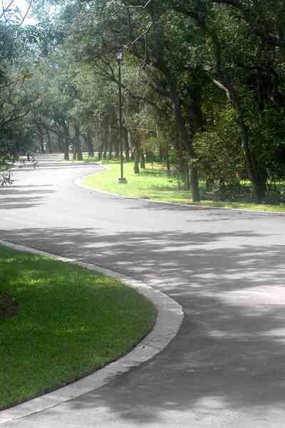
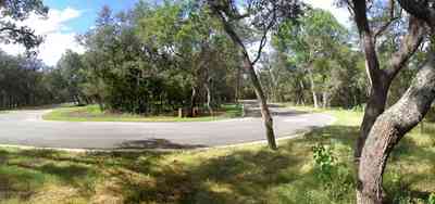
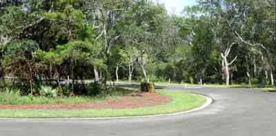
The circular drive graces the side entrance.
-
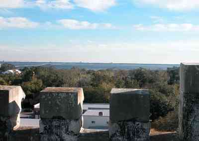
Pensacola Bay is visible from the roof of the old hospital.
-
-
-

-
-
-

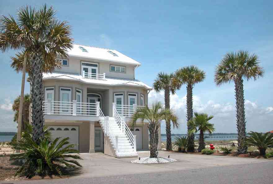
The house faces Pensacola Bay.
-
-
-
-
-
-
-
-
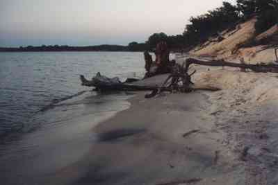
The cove is on the sound side of Naval Live Oaks Preserve.
-

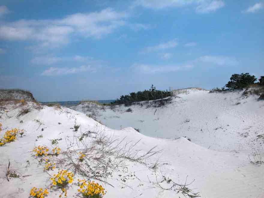
The cove is part of Naval Live Oaks Preservation at the National Seashore.
-
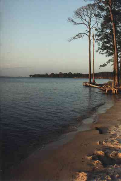
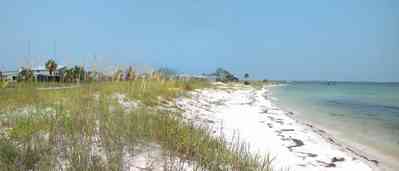
Long-leaf pine trees grow along the beach on the bay.
-
-
-
-
-

-
-
-
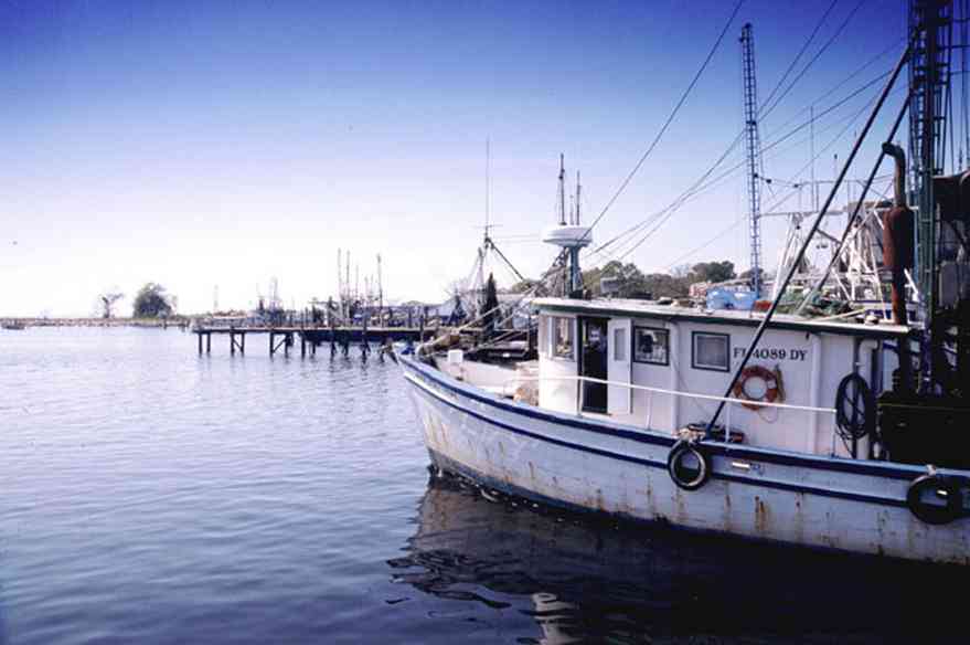
Ships have easy access to the loading area making the process of transferring fresh seafood from the fishing boat to the processing center as quick as possible.
-
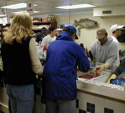
Cameraman, Tom shoots a bin of shrimp at Joe Patti's Seafood Market on Main Street in Pensacola during the preparation of the television program for the Outdoor Learning Channel's, Adventure Crusoe.
-
-
-
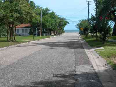
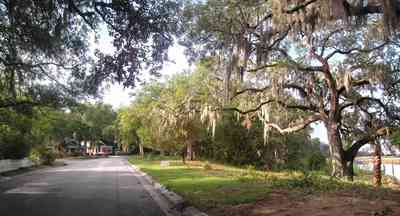
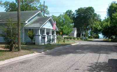
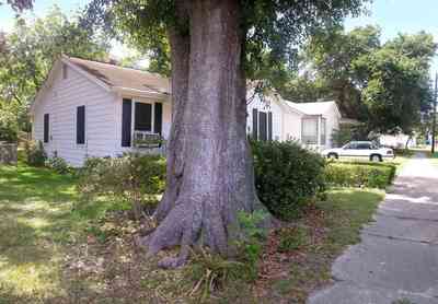
The neighborhood is organized around the recreational area at the end of South I Street.
-
-
-
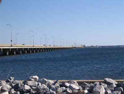
From the Pensacola side, the hump in the middle is seen. It allows barge and boat traffic to cross into Escambia Bay to the North. Riprap, seen in the foreground normally works by absorbing the impact of a wave before the wave reaches the cliff or sea defense, and so minimizes the erosion caused by the wave
-
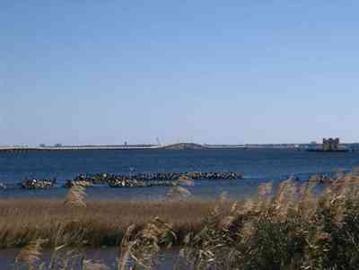
Another view from the South showing oyster beds at the foot of the bridge.
-
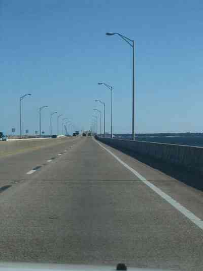
Heading east over the bridge. Emergency lanes were added several years ago.
-
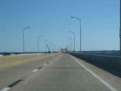
The bridge has a hump in the middle to allow boat and barge traffic to pass under.
-
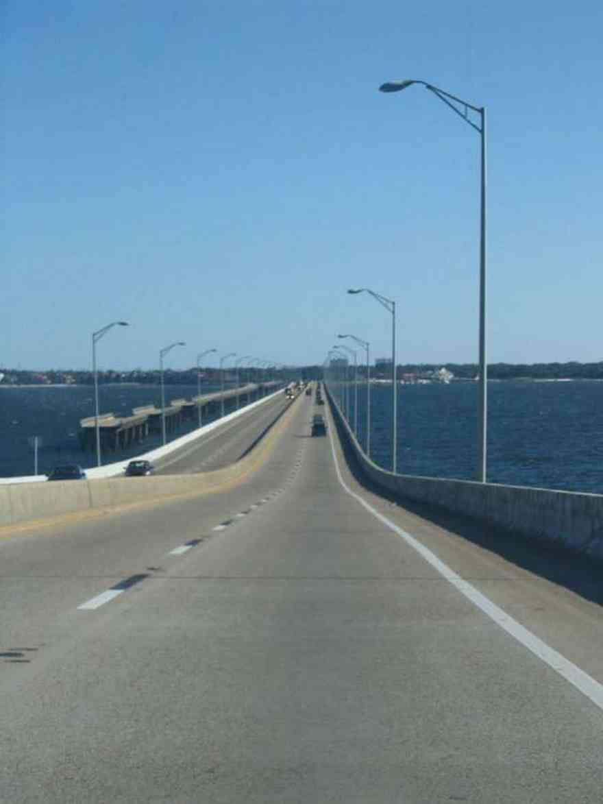
Looking down the hump towards the east at the city of Gulf Breeze. The old bridge sections can be seen at left. That was the bridge that crossed the bay previous to the new bridge. It was used for fishing until Hurricane Ivan took portions of it down. The isolated sections are being brought down one by one.

 The CSX railroad trestle and the Gulf Breeze Bridge can be seen in the background.
 The walkway terminates on top of the boar house.
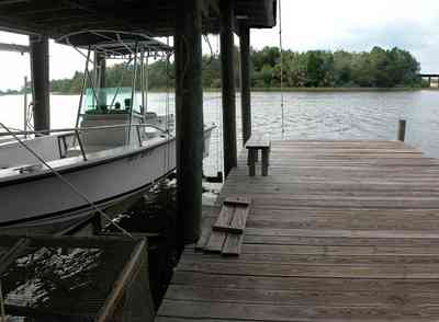
 There are 11 homes that have waterfront property at the entrance to the Bayou. Most of those property owners have docks and boathouses.
 A narrow peninsula forms a barrier between the bay and the entrance to the bayou.
 The boat house is located on the left of the photograph.

 The hillside is covered with natural foliage to prevent erosion. The bay bluffs in this area are unique in the State of Florida and were formed by erosion of the Escambia River which empties into Pensacola Bay.
 The circular drive graces the side entrance.
 Pensacola Bay is visible from the roof of the old hospital.


 The house faces Pensacola Bay.


 The cove is on the sound side of Naval Live Oaks Preserve.
 The cove is part of Naval Live Oaks Preservation at the National Seashore.
 Long-leaf pine trees grow along the beach on the bay.


 Ships have easy access to the loading area making the process of transferring fresh seafood from the fishing boat to the processing center as quick as possible.
 Cameraman, Tom shoots a bin of shrimp at Joe Patti's Seafood Market on Main Street in Pensacola during the preparation of the television program for the Outdoor Learning Channel's, Adventure Crusoe.

 The neighborhood is organized around the recreational area at the end of South I Street.

 From the Pensacola side, the hump in the middle is seen. It allows barge and boat traffic to cross into Escambia Bay to the North. Riprap, seen in the foreground normally works by absorbing the impact of a wave before the wave reaches the cliff or sea defense, and so minimizes the erosion caused by the wave
 Another view from the South showing oyster beds at the foot of the bridge.
 Heading east over the bridge. Emergency lanes were added several years ago.
 The bridge has a hump in the middle to allow boat and barge traffic to pass under.
 Looking down the hump towards the east at the city of Gulf Breeze. The old bridge sections can be seen at left. That was the bridge that crossed the bay previous to the new bridge. It was used for fishing until Hurricane Ivan took portions of it down. The isolated sections are being brought down one by one.
 One Tank of Gas