-
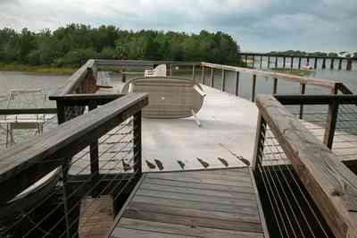
The walkway terminates on top of the boar house.
-
-

A narrow peninsula forms a barrier between the bay and the entrance to the bayou.
-
-
-
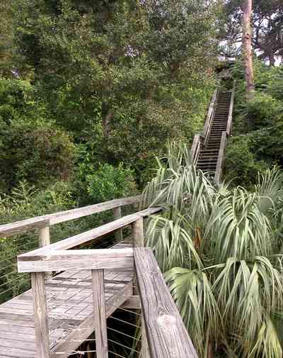
The hillside is covered with natural foliage to prevent erosion. The bay bluffs in this area are unique in the State of Florida and were formed by erosion of the Escambia River which empties into Pensacola Bay.
-
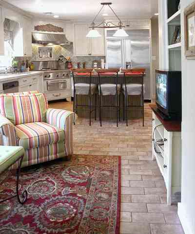
The kitchen is in the rear of the family room.
-
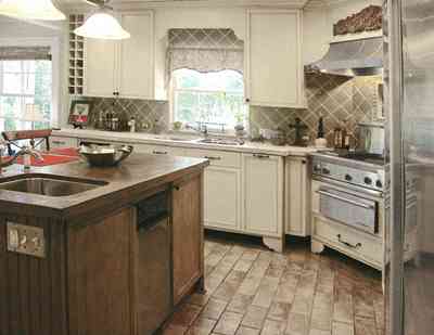
The counter top on the island is fabricated with stained concrete.
-
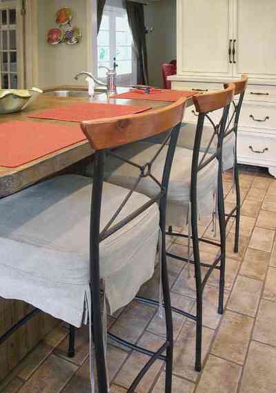
The kitchen floor is finished with porcelin tiles shaped like bricks.
-
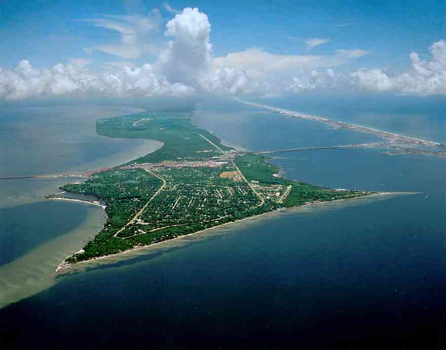
Gulf Breeze is located between Pensacola on the north and Santa Rosa Island on the south.
-
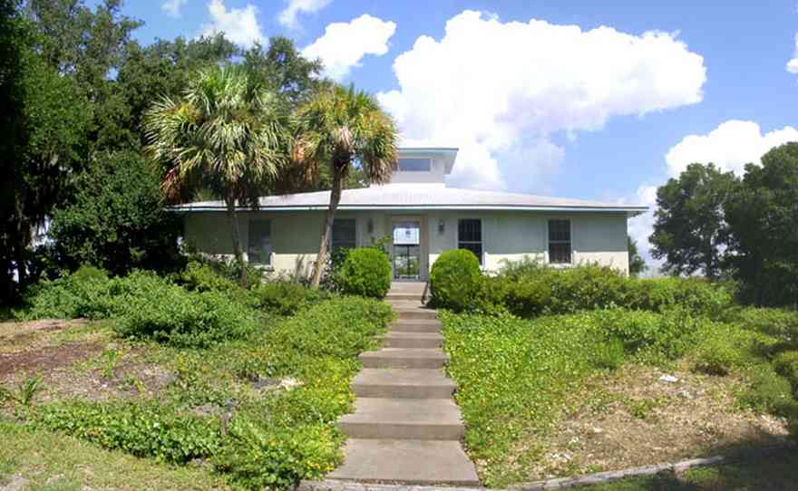
The home is located on a cul-de-sac with water on two sides. This is the southern facade of the house.
-

The great room has a view overlooking Escambia Bay facing north.
-
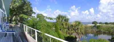
The back porch view shows the shallow width of Dead Man's Island. The bay side of the island has narrow dune formations. Sea grasses and trees are the vegetation on the channel side of the island.
-

The small boat house can be seen in the center of the photograph. Dead Man's Island is a narrow strip of land separating Escambia Bay from the channel.
-
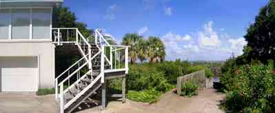
The stairs are located on the east side of the house. The boat ramp for access to the bay can be seen on the right of the picture.
-

The walkway to the bay and a view of Dead Man's Island can be seen in the center of the photograph.
-

The 180 degree view of the waterfront shows the boat house on the right and the deck swing on the left of the frame. The house is barely visible in the center.
-

A reverse of the above panorama reveals the outline of the simple spoil island.
-

The house is visible in the upper right of the frame. The photograph is taken from the vantage point of the channel, facing southeast. The swing is on the lower right of the frame.
-
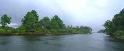
Dead Man's Island is the left bank of the channel leading out into Escambia Bay.
-
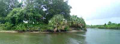
Dead Man's Island is directly across the channel from the house. Palms, sea grass and small trees grow on the island.
-
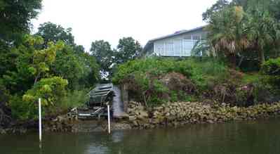
A small boat is visible in the center frame. Small rocks form a retaining wall along the south side of the channel.
-
-
-
-
-
-
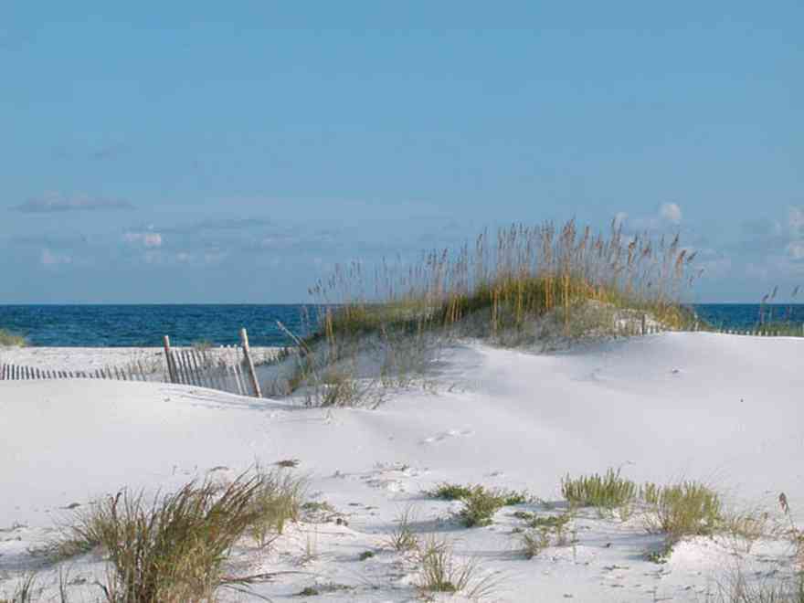
A diversity of gulls, terns and various shorebirds can be found year-round feeding at the shore.
-
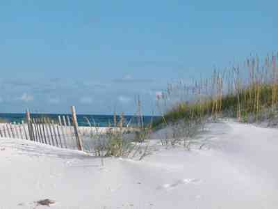
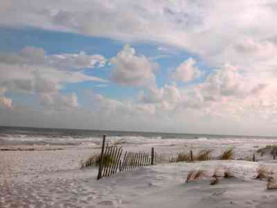
The initial step in restoration of deflated sand dunes is to use structures that can accumulate sand. Dune building fences can be erected in order to trap sand and reconstruct new dunes.
-
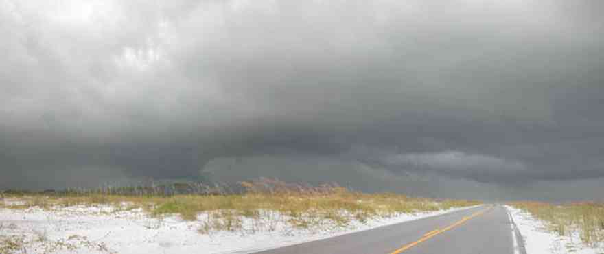
The road to the fortifications bisects the narrow barrier island.
-
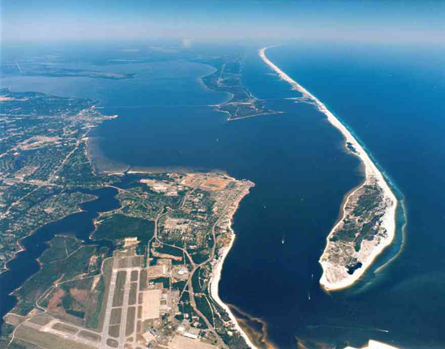
Fort Pickens is located at the wide tip of the barrier island. Runways at the Naval Air Station can be seen in the lower right hand corner of the photograph.
-
-
-
-
-
-
-
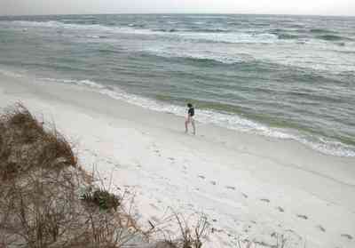
Dunes at the end of the island rise high above the waves.
-

-
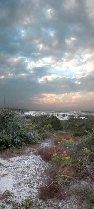
The yellow flowering plants in the foreground are Woody Goldenrod (Chrysoma pauciflosculosa) of the Sunflower Family. (source: Searcy, Darryl. Botanist)
-

The yellow flowering plants in the foreground are Woody Goldenrod (Chrysoma pauciflosculosa) of the Sunflower Family. (source: Searcy, Darryl. Botanist)
-
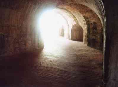
The yellow flowering plants in the foreground are Woody Goldenrod (Chrysoma pauciflosculosa) of the Sunflower Family. (source: Searcy, Darryl. Botanist)
-
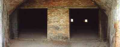
The yellow flowering plants in the foreground are Woody Goldenrod (Chrysoma pauciflosculosa) of the Sunflower Family. (source: Searcy, Darryl. Botanist)
-

The yellow flowering plants in the foreground are Woody Goldenrod (Chrysoma pauciflosculosa) of the Sunflower Family. (source: Searcy, Darryl. Botanist)
-

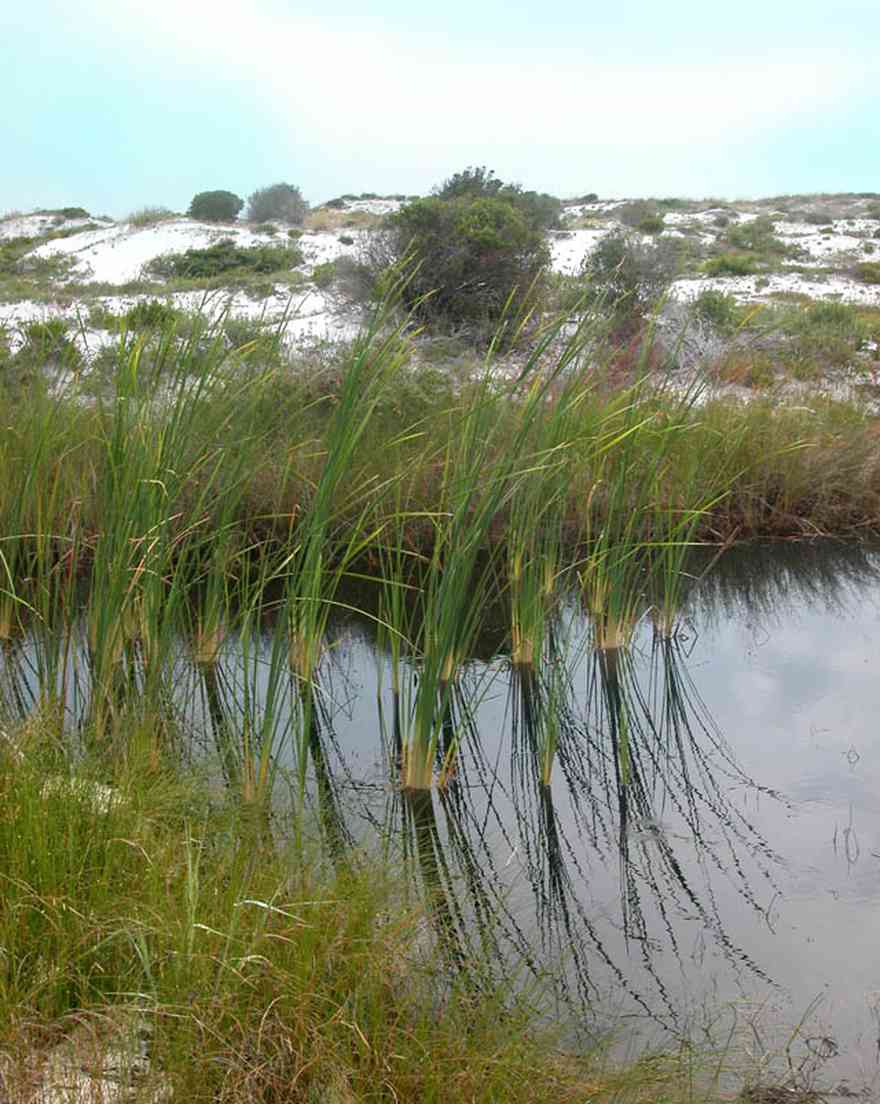
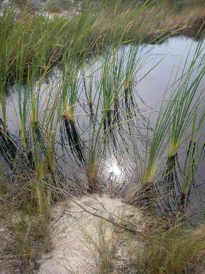
The lake is bordered by sand dunes and marsh grass. It is located about 2 miles from the main gate of Fort Pickens on the north side of the road.
-

The building was formerly used as the Coast Guard Station.
-
-
-
-

-
-
-
-
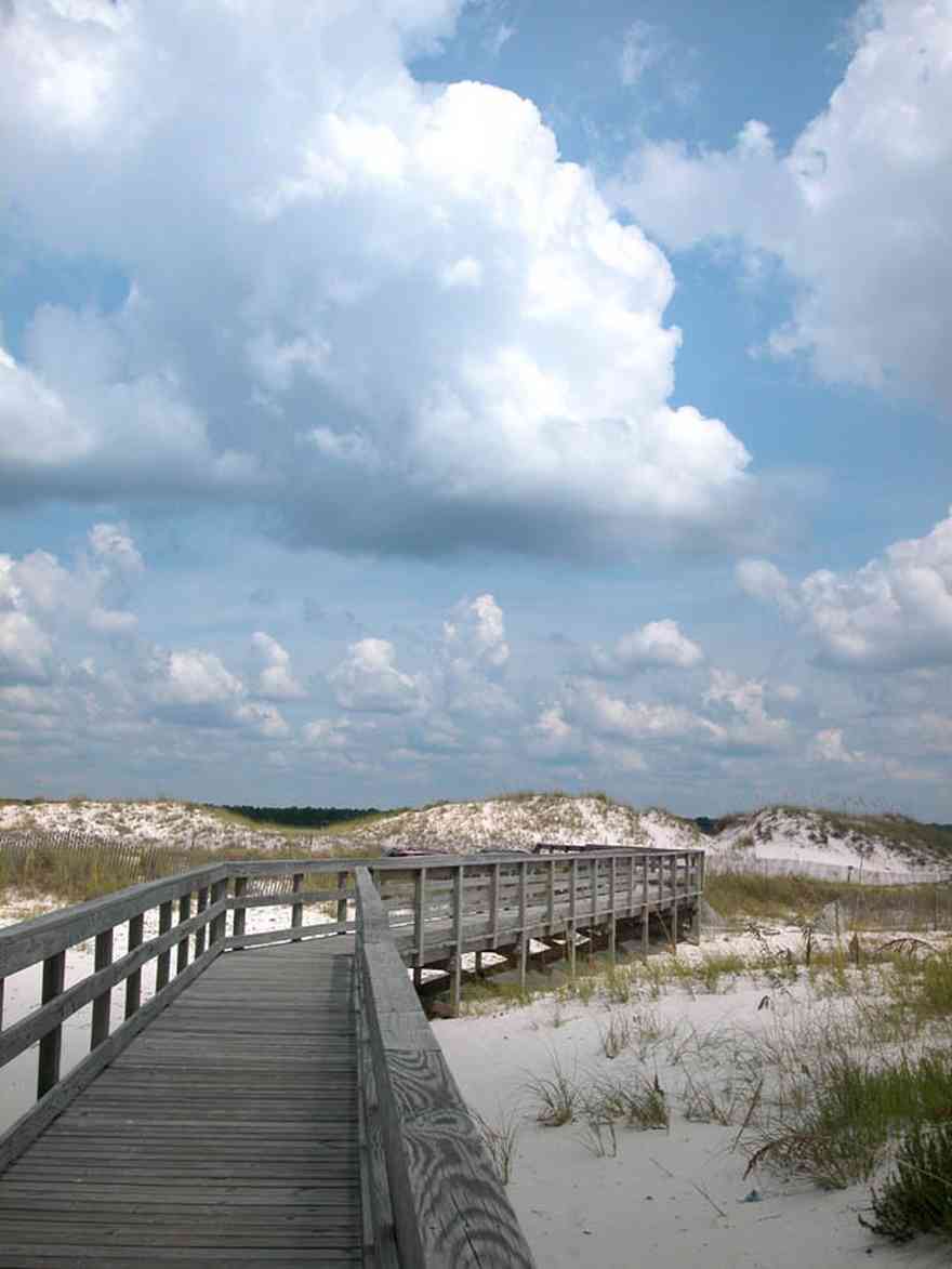
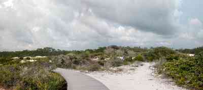
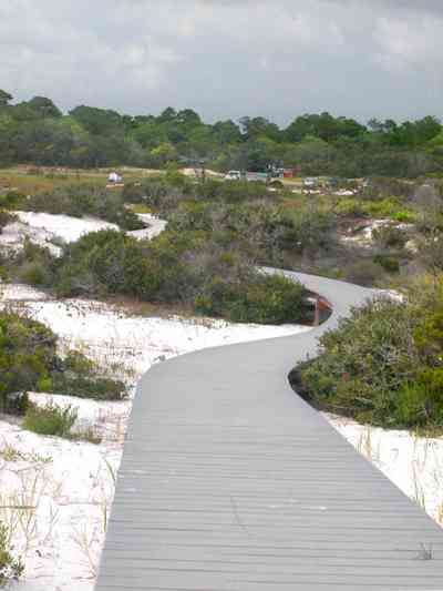
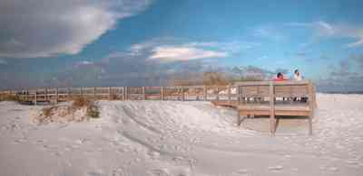
The boardwalk leads from Johnson Beach Road to the Gulf.
-
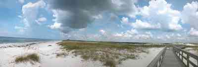
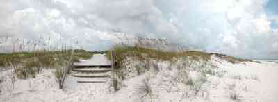
Gulf Islands National Seashore is open year-round. A dune crossover is recommended to save vegetation and wearing
down of the dune.
-
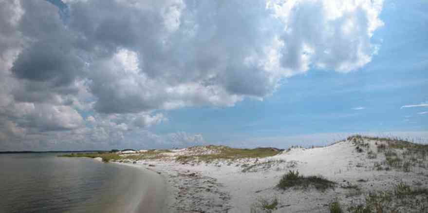
There is little wave action on the sound side.
-
-
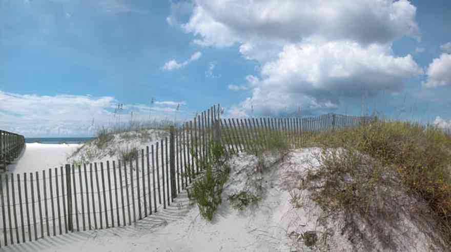
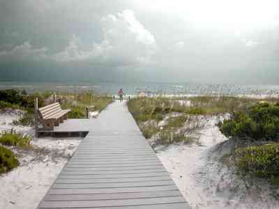
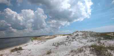
There is a boardwalk on the Gulf side of the turn-around leading to the beach.
-

For nature lovers, the park is a good place to begin an exploration of the barrier island ecosystem.
-
-
-
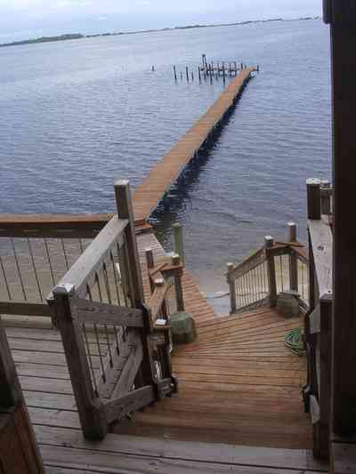
The south view from the second level deck shows the path to the 165 foot pier with Santa Rosa Sound and military preserve on Santa Rosa Island with the Gulf of Mexico beyond.
-
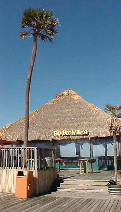
Bamboo Willie's and Hooters are located on the north end of the Quietwater boardwalk.
-

The beach road bisects Santa Rosa Island.
-
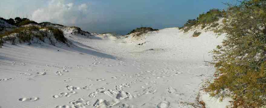
The dunes form undulating ridges along the north side of the beach road. This area is across the road from Parking Lot 10 at the Gulf Islands National Seashore.
-
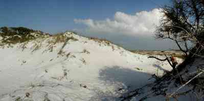
Sparse vegetation holds the dunes in place.
-

Some of dune formations on the north side of the beach road rise to a height of about 30 feet.
-
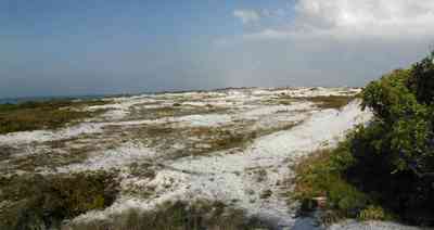
The Gulf can be seen on the far right of the photograph.
-
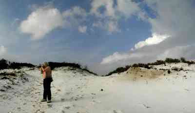
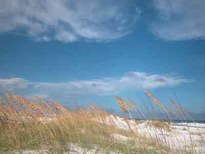
Beach grasses have long roots that form a subsurface net, keeping the dunes from disintegrating.
-
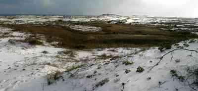
Beach elder accumulates sand rapidly and produces low rounded dunes.
-
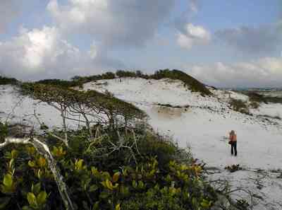
Beach elder (Iva imbricata) has sparse, woody, upright stems and fleshy narrow bright green leaves. Small lavender flowers occur in late summer.
-
-
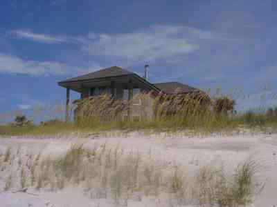
-

The bandshell is the site of concerts and events throughout the year.
-

The boardwalk area adjacent to the bandshell features small shops and restaurants.
-

The road bisects Santa Rosa Island.
-

The large dunes are located on the soundside or northside of the island.
-
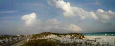
The sparse vegetation has extensive root systems that hold the dunes in place.
-

Emerald water on the right of the photograph is on the gulf side of the island.
-
-
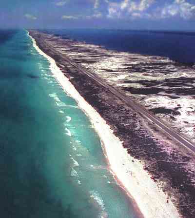
This aerial shows the road that goes the length of Santa Rosa Island. All beach areas can be reached by road, but the road can't be seen from the water.
-

A two lane road runs through the middle of the island.
-
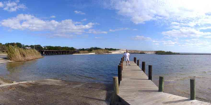
The 17th Avenue railroad trestle can be seen in upper left of the photograph. The spoil island in the center of the picture has formed at the mouth of Bayou Texar.
-
-

The CSX trestle crosses the mouth of Bayou Texar. The tracks continue along the red clay bluffs of Scenic Highway.
-
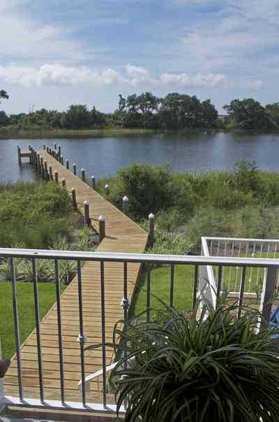
south view from second floor porch
-
-
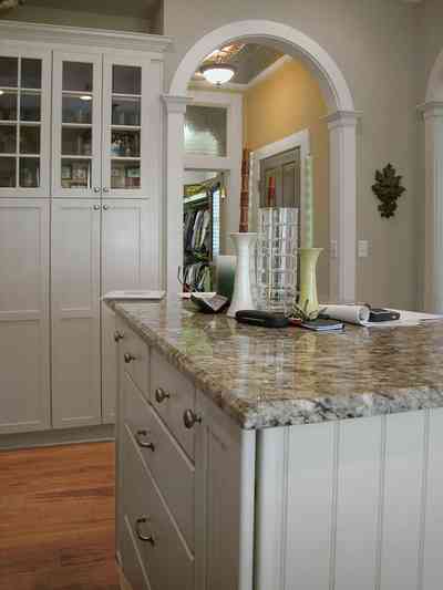
-
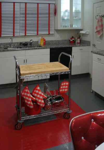
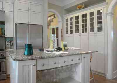
The versatile island cart can be pushed to chop and slice at any work station. The rubber elevator-style tiles in the kitchen are industrial grade.
-
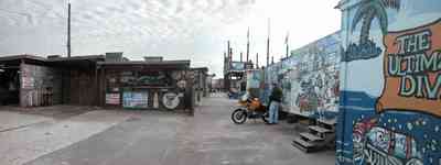
The bar is located on the state line between Florida and Alabama.
-
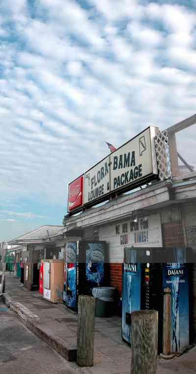
The bar appears small from roadside but is actually a complex of connected locations, including tents and exterior shelters.
-
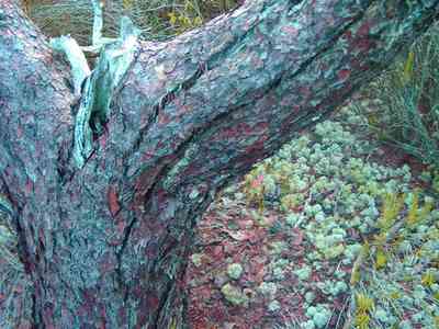
Lichens and mosses grown on the scrub pine trucks.
-
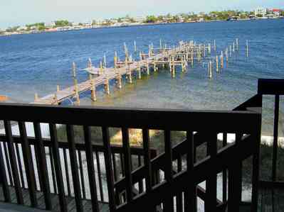
The condo units face north on the sound side of the key. The water here is shallow enough to walk in almost to the end of the dock.
-
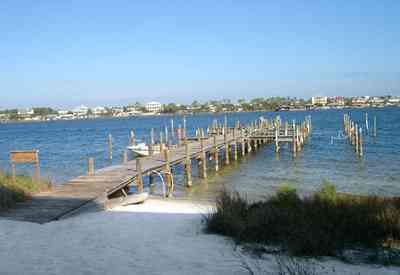
This dock has eight slips, and is unused most of the year.
-
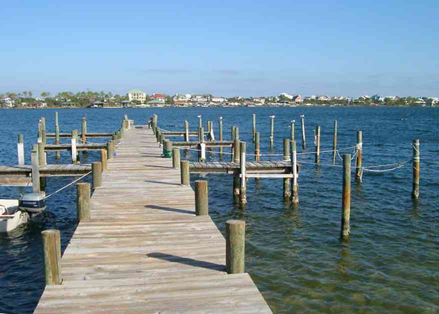
Ono Island is across the sound to the north. To the south, the Gulf of Mexico is about a quarter of a mile away.
-
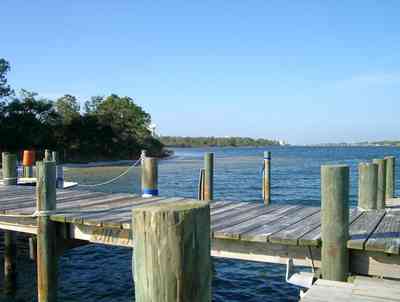
A large expanse of state park borders the property to the west. To the east, there are four streets of development, then more state park.
-
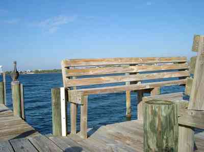
Wooden benches were constructed on the end of the dock by one of the residents. This view faces due west. At sunset, porpoises often swim past.
-
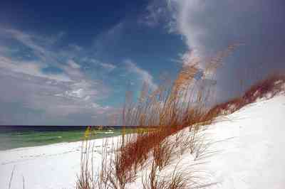
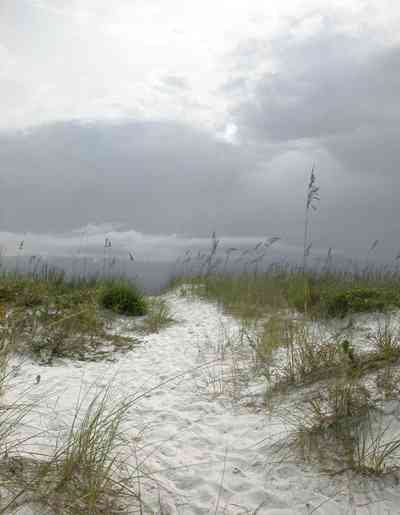
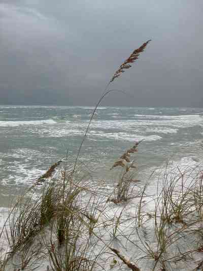
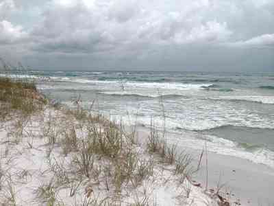
Coastal dunes are formed when sand is trapped around the stems, leaves and roots of plants in the vegetated areas of the beach.
-
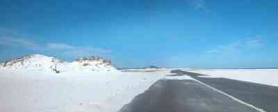
There are few large dunes along the gulf side.
-

Repairs to J. Earle Bowden Way, the 12-mile road through Gulf Islands National Seashore connecting Navarre Beach and Pensacola Beach, are complete. The route is clear and open for the first time since July 2005, when Hurricane Dennis destroyed recently completed repairs from 2004’s Hurricane Ivan.
-
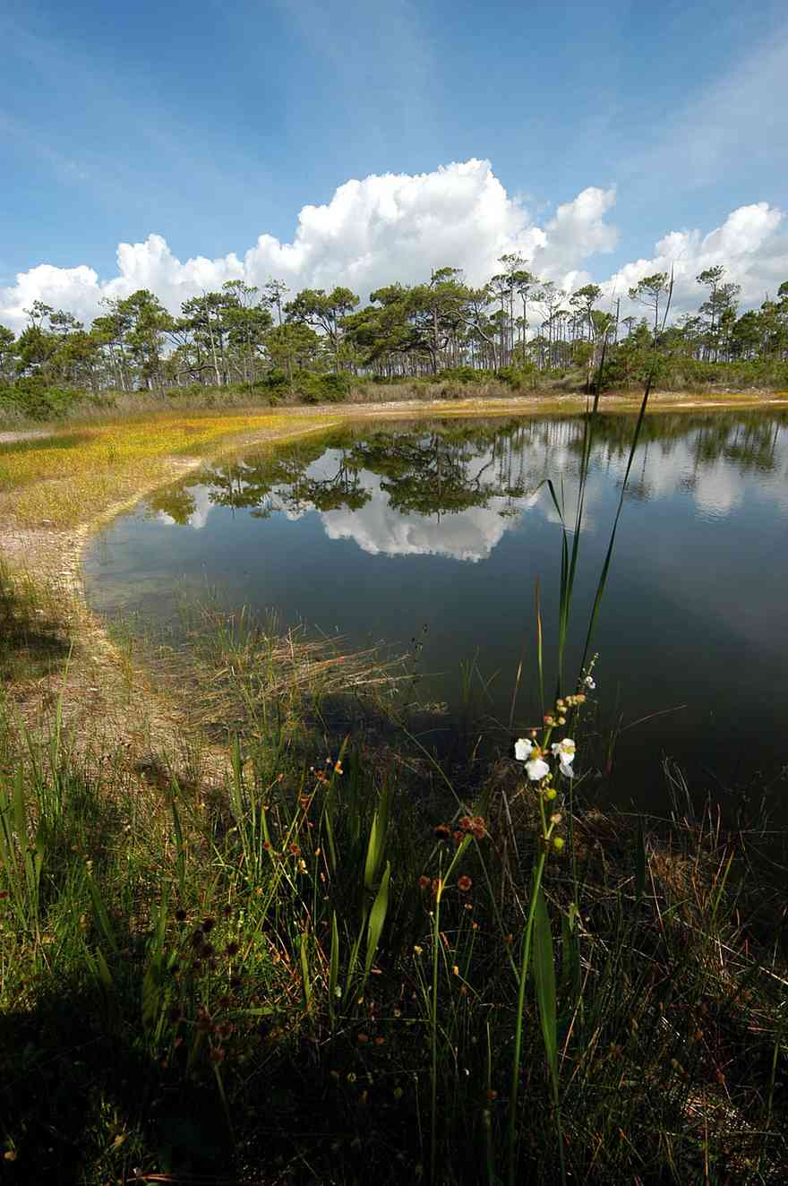
The sand pine scrub is a xeric, or exceedingly, dry, sandy community with a sparse understory of shrubby, evergreen oaks and an overstory of the sand pine.
-
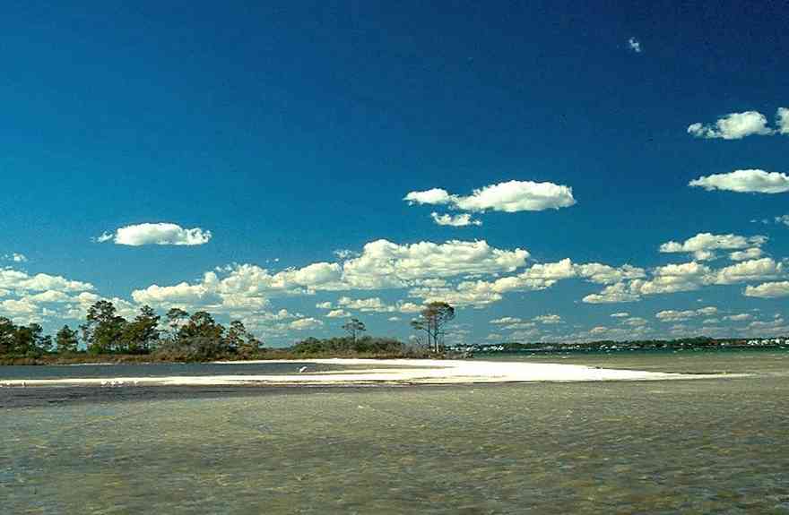
The island, located on Sabine Bay has been subdivided into numerous parcels.

 The walkway terminates on top of the boar house.
 A narrow peninsula forms a barrier between the bay and the entrance to the bayou.

 The hillside is covered with natural foliage to prevent erosion. The bay bluffs in this area are unique in the State of Florida and were formed by erosion of the Escambia River which empties into Pensacola Bay.
 The kitchen is in the rear of the family room.
 The counter top on the island is fabricated with stained concrete.
 The kitchen floor is finished with porcelin tiles shaped like bricks.
 Gulf Breeze is located between Pensacola on the north and Santa Rosa Island on the south.
 The home is located on a cul-de-sac with water on two sides. This is the southern facade of the house.
 The great room has a view overlooking Escambia Bay facing north.
 The back porch view shows the shallow width of Dead Man's Island. The bay side of the island has narrow dune formations. Sea grasses and trees are the vegetation on the channel side of the island.
 The small boat house can be seen in the center of the photograph. Dead Man's Island is a narrow strip of land separating Escambia Bay from the channel.
 The stairs are located on the east side of the house. The boat ramp for access to the bay can be seen on the right of the picture.
 The walkway to the bay and a view of Dead Man's Island can be seen in the center of the photograph.
 The 180 degree view of the waterfront shows the boat house on the right and the deck swing on the left of the frame. The house is barely visible in the center.
 A reverse of the above panorama reveals the outline of the simple spoil island.
 The house is visible in the upper right of the frame. The photograph is taken from the vantage point of the channel, facing southeast. The swing is on the lower right of the frame.
 Dead Man's Island is the left bank of the channel leading out into Escambia Bay.
 Dead Man's Island is directly across the channel from the house. Palms, sea grass and small trees grow on the island.
 A small boat is visible in the center frame. Small rocks form a retaining wall along the south side of the channel.


 A diversity of gulls, terns and various shorebirds can be found year-round feeding at the shore.
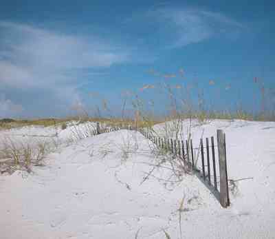
 The initial step in restoration of deflated sand dunes is to use structures that can accumulate sand. Dune building fences can be erected in order to trap sand and reconstruct new dunes.
 The road to the fortifications bisects the narrow barrier island.
 Fort Pickens is located at the wide tip of the barrier island. Runways at the Naval Air Station can be seen in the lower right hand corner of the photograph.


 Dunes at the end of the island rise high above the waves.
 The yellow flowering plants in the foreground are Woody Goldenrod (Chrysoma pauciflosculosa) of the Sunflower Family. (source: Searcy, Darryl. Botanist)
 The yellow flowering plants in the foreground are Woody Goldenrod (Chrysoma pauciflosculosa) of the Sunflower Family. (source: Searcy, Darryl. Botanist)
 The yellow flowering plants in the foreground are Woody Goldenrod (Chrysoma pauciflosculosa) of the Sunflower Family. (source: Searcy, Darryl. Botanist)
 The yellow flowering plants in the foreground are Woody Goldenrod (Chrysoma pauciflosculosa) of the Sunflower Family. (source: Searcy, Darryl. Botanist)
 The yellow flowering plants in the foreground are Woody Goldenrod (Chrysoma pauciflosculosa) of the Sunflower Family. (source: Searcy, Darryl. Botanist)
 The lake is bordered by sand dunes and marsh grass. It is located about 2 miles from the main gate of Fort Pickens on the north side of the road.
 The building was formerly used as the Coast Guard Station.


 The boardwalk leads from Johnson Beach Road to the Gulf.
 Gulf Islands National Seashore is open year-round. A dune crossover is recommended to save vegetation and wearing down of the dune.
 There is little wave action on the sound side.
 There is a boardwalk on the Gulf side of the turn-around leading to the beach.
 For nature lovers, the park is a good place to begin an exploration of the barrier island ecosystem.

 The south view from the second level deck shows the path to the 165 foot pier with Santa Rosa Sound and military preserve on Santa Rosa Island with the Gulf of Mexico beyond.
 Bamboo Willie's and Hooters are located on the north end of the Quietwater boardwalk.
 The beach road bisects Santa Rosa Island.
 The dunes form undulating ridges along the north side of the beach road. This area is across the road from Parking Lot 10 at the Gulf Islands National Seashore.
 Sparse vegetation holds the dunes in place.
 Some of dune formations on the north side of the beach road rise to a height of about 30 feet.
 The Gulf can be seen on the far right of the photograph.
 Beach grasses have long roots that form a subsurface net, keeping the dunes from disintegrating.
 Beach elder accumulates sand rapidly and produces low rounded dunes.
 Beach elder (Iva imbricata) has sparse, woody, upright stems and fleshy narrow bright green leaves. Small lavender flowers occur in late summer.

 The bandshell is the site of concerts and events throughout the year.
 The boardwalk area adjacent to the bandshell features small shops and restaurants.
 The road bisects Santa Rosa Island.
 The large dunes are located on the soundside or northside of the island.
 The sparse vegetation has extensive root systems that hold the dunes in place.
 Emerald water on the right of the photograph is on the gulf side of the island.
 This aerial shows the road that goes the length of Santa Rosa Island. All beach areas can be reached by road, but the road can't be seen from the water.
 A two lane road runs through the middle of the island.
 The 17th Avenue railroad trestle can be seen in upper left of the photograph. The spoil island in the center of the picture has formed at the mouth of Bayou Texar.
 The CSX trestle crosses the mouth of Bayou Texar. The tracks continue along the red clay bluffs of Scenic Highway.
 south view from second floor porch

 The versatile island cart can be pushed to chop and slice at any work station. The rubber elevator-style tiles in the kitchen are industrial grade.
 The bar is located on the state line between Florida and Alabama.
 The bar appears small from roadside but is actually a complex of connected locations, including tents and exterior shelters.
 Lichens and mosses grown on the scrub pine trucks.
 The condo units face north on the sound side of the key. The water here is shallow enough to walk in almost to the end of the dock.
 This dock has eight slips, and is unused most of the year.
 Ono Island is across the sound to the north. To the south, the Gulf of Mexico is about a quarter of a mile away.
 A large expanse of state park borders the property to the west. To the east, there are four streets of development, then more state park.
 Wooden benches were constructed on the end of the dock by one of the residents. This view faces due west. At sunset, porpoises often swim past.
 Coastal dunes are formed when sand is trapped around the stems, leaves and roots of plants in the vegetated areas of the beach.
 There are few large dunes along the gulf side.
 Repairs to J. Earle Bowden Way, the 12-mile road through Gulf Islands National Seashore connecting Navarre Beach and Pensacola Beach, are complete. The route is clear and open for the first time since July 2005, when Hurricane Dennis destroyed recently completed repairs from 2004’s Hurricane Ivan.
 The sand pine scrub is a xeric, or exceedingly, dry, sandy community with a sparse understory of shrubby, evergreen oaks and an overstory of the sand pine.
 The island, located on Sabine Bay has been subdivided into numerous parcels.
 One Tank of Gas