-
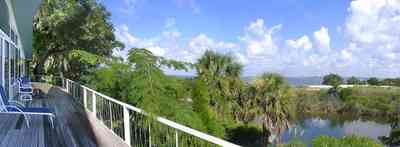
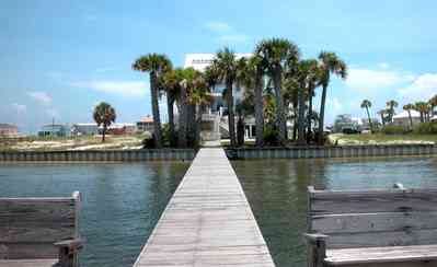
The back porch view shows the shallow width of Dead Man's Island. The bay side of the island has narrow dune formations. Sea grasses and trees are the vegetation on the channel side of the island.
-
-

-
-
-
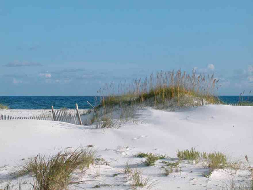
A diversity of gulls, terns and various shorebirds can be found year-round feeding at the shore.
-

Beach elder (Iva imbricata) has sparse, woody, upright stems and fleshy narrow bright green leaves. Small lavender flowers occur in late summer. Beach elder accumulates sand rapidly and produces low rounded dunes.
-

-
-
-

-
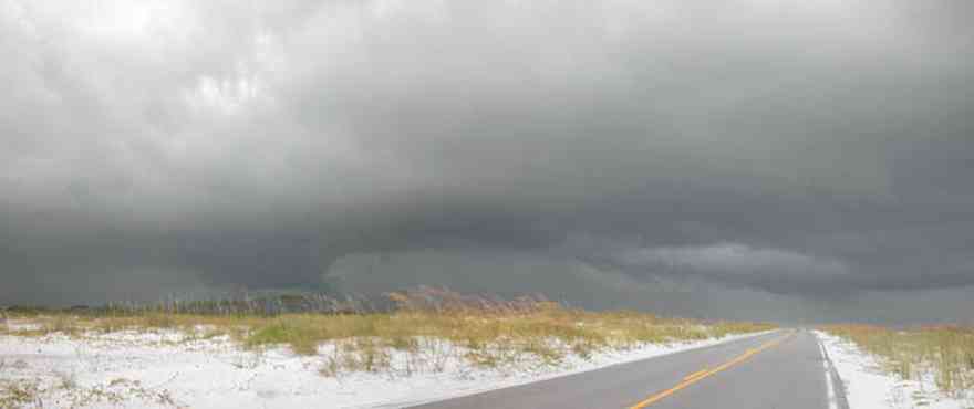
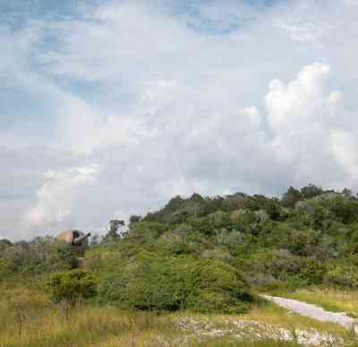
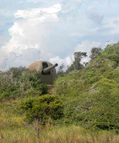
The road to the fortifications bisects the narrow barrier island.
-
-
-
-
-
-
-
-
-
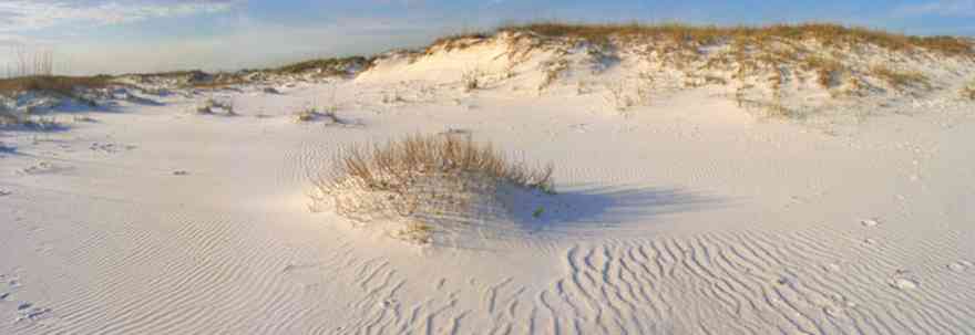
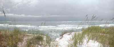
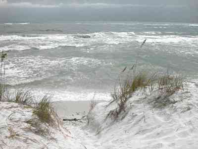
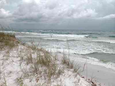
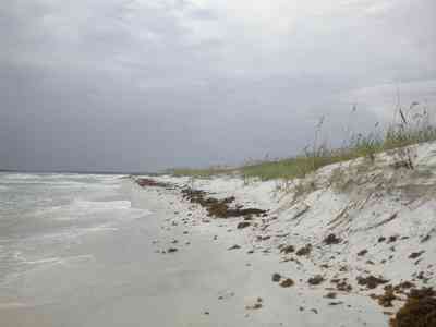
The dune formations are more massive than those in the center of the island. This area is isolated from many of the public beach sites.
-

-
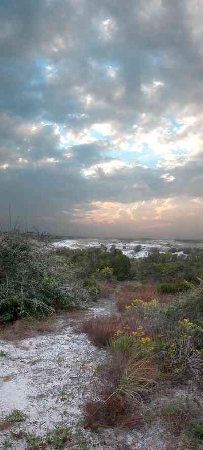
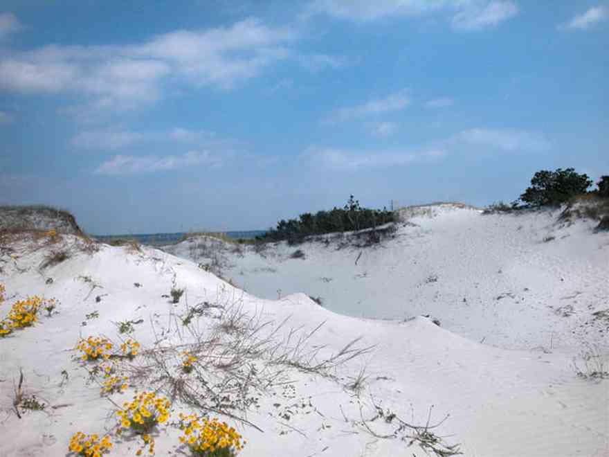
The yellow flowering plants in the foreground are Woody Goldenrod (Chrysoma pauciflosculosa) of the Sunflower Family. (source: Searcy, Darryl. Botanist)
-

The yellow flowering plants in the foreground are Woody Goldenrod (Chrysoma pauciflosculosa) of the Sunflower Family. (source: Searcy, Darryl. Botanist)
-
The yellow flowering plants in the foreground are Woody Goldenrod (Chrysoma pauciflosculosa) of the Sunflower Family. (source: Searcy, Darryl. Botanist)
-
The yellow flowering plants in the foreground are Woody Goldenrod (Chrysoma pauciflosculosa) of the Sunflower Family. (source: Searcy, Darryl. Botanist)
-

The yellow flowering plants in the foreground are Woody Goldenrod (Chrysoma pauciflosculosa) of the Sunflower Family. (source: Searcy, Darryl. Botanist)
-

-
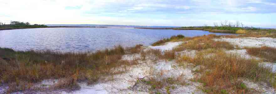
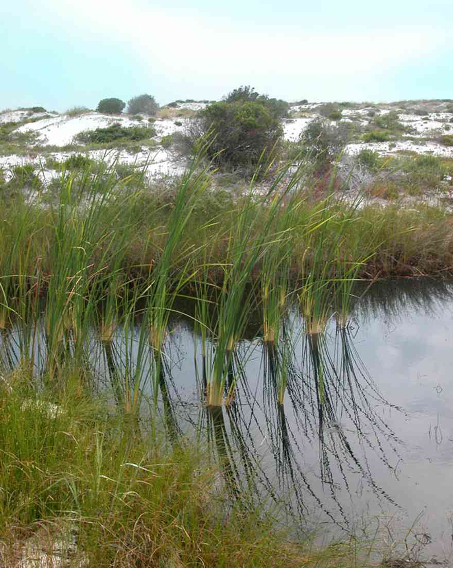
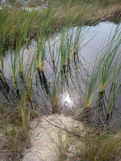
The small lake is approximately seven acres in size. It borders Escambia Bay.
-

The building was formerly used as the Coast Guard Station.
-
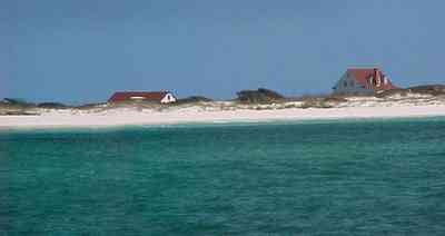
This view of the Ranger Station is taken near the wreck of the Norweigan bark, the Catherine, which is located in 15 feet of water where it sank on August 7, 1894. The outline of the vessel can be seen as a dark shadow on the surface.
-
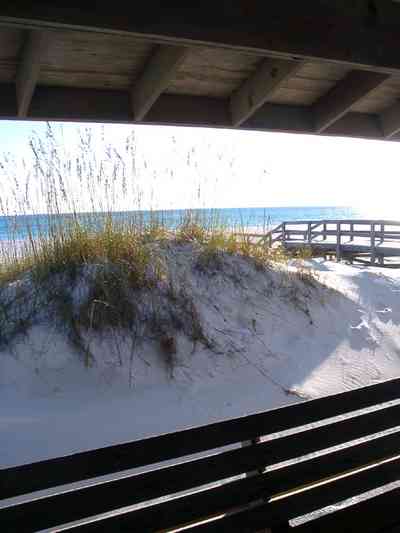
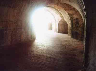
The boardwalk can be seen from the interior of the building.
-
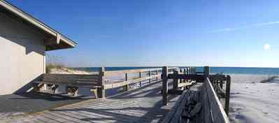
Battery Langdon is directly across Fort Pickens Road from the shelter and walkway leading to the gulf.
-
-
-
-
-
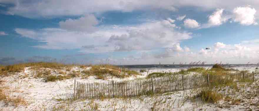
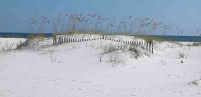
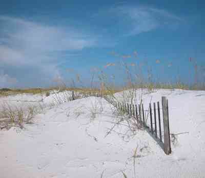
The fence is located at the Opal Beach sign, three miles from the Opal Beach boardwalk.
-
-
-

-
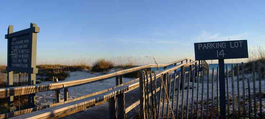
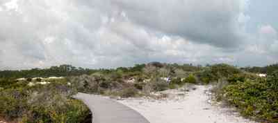
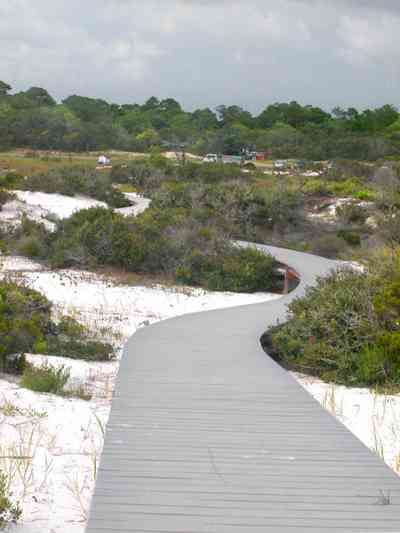
The boardwalk is typical of the crossovers at parking bays along the coast.
-

This is a short run boardwalk from the parking lot over the dunes.
-
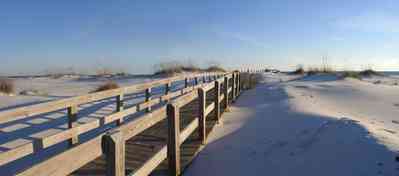
The boardwalk aids in the formation of its own dune alongside of the walkway.
-

The boardwalk ends in a larger staging area across the dunes.
-
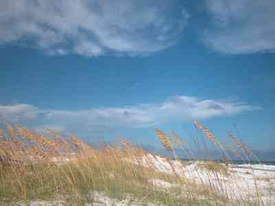
-
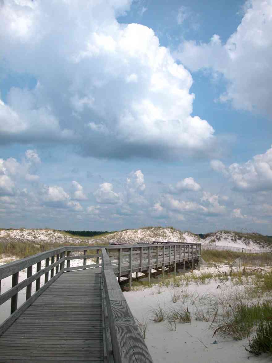
The boardwalk leads from Johnson Beach Road to the Gulf.
-
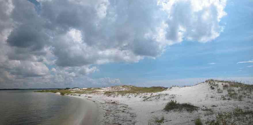
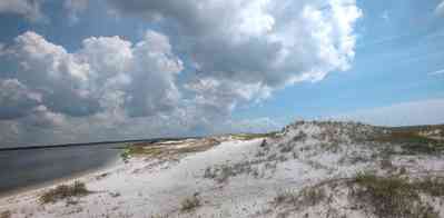
There is little wave action on the sound side.
-
-
-
-

-
-

-

-
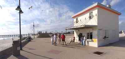
Santa and his helpers enjoy refreshments.
-
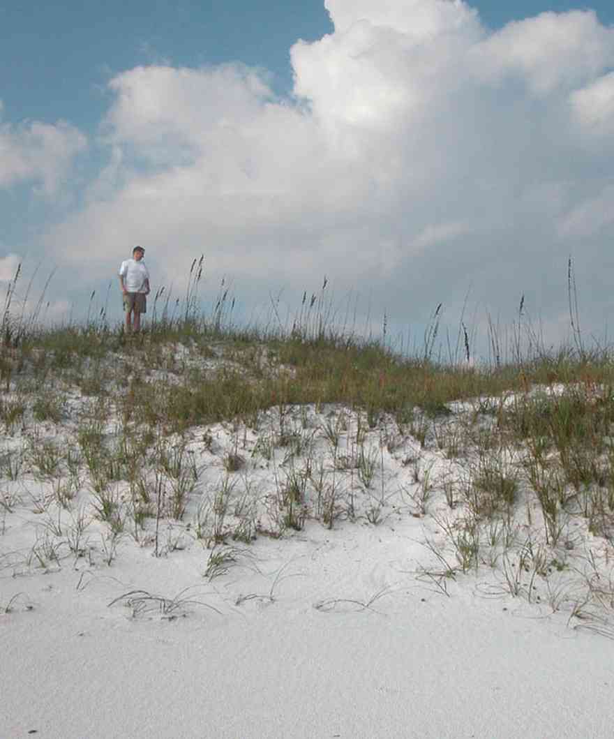
Tom Roush stands atop a dune formation.
-

The beach road bisects Santa Rosa Island.
-
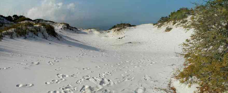
The dunes form undulating ridges along the north side of the beach road. This area is across the road from Parking Lot 10 at the Gulf Islands National Seashore.
-
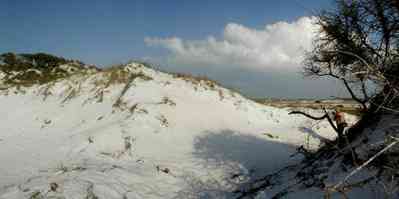
Sparse vegetation holds the dunes in place.
-

Some of dune formations on the north side of the beach road rise to a height of about 30 feet.
-
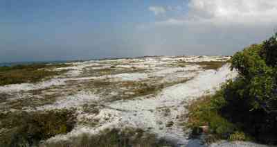
The Gulf can be seen on the far right of the photograph.
-
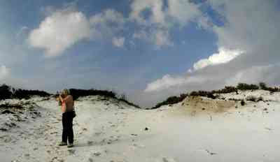
Beach grasses have long roots that form a subsurface net, keeping the dunes from disintegrating.
-
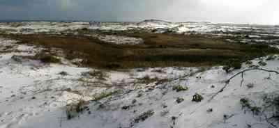
Beach elder accumulates sand rapidly and produces low rounded dunes.
-
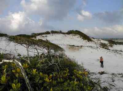
Beach elder (Iva imbricata) has sparse, woody, upright stems and fleshy narrow bright green leaves. Small lavender flowers occur in late summer.
-

East Park is located at the farthest point within the jurisdiction of Escambia County. It is adjacent to the Gulf Island National Seashore.
-

-
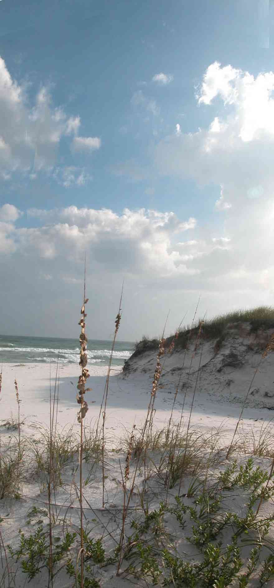
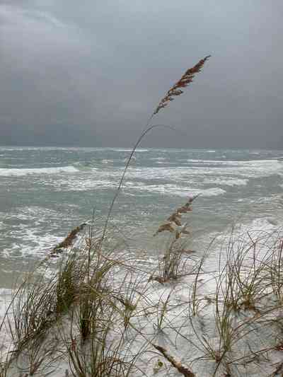
Breaking waves run up on wide, sandy beaches against a backdrop of large sand dunes topped with a smattering of sea oats.
-
Atop and just behind the dunes lies an intriguing habitat that supports a limited but interesting array of plants and animals.
-
Deep white sand is so fine that the beach below you squeaks when you walk. Its seaward edges borders deep green and blue water.
-
-
-

Sea oats are the preferred landscaping element at the beach.
-
-
-
-

The road bisects Santa Rosa Island.
-

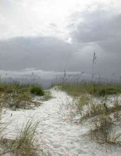
The large dunes are located on the soundside or northside of the island.
-
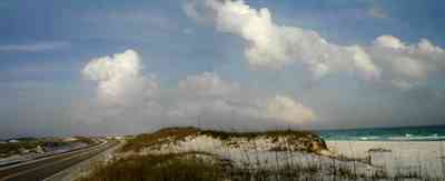
The sparse vegetation has extensive root systems that hold the dunes in place.
-

Emerald water on the right of the photograph is on the gulf side of the island.
-
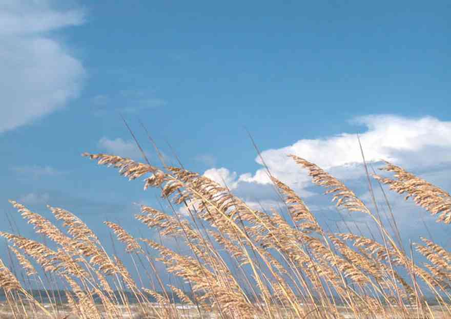
The seed heads mature in August.
-
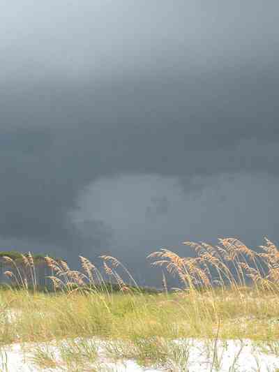
Sea Oats provide long term protection against beach erosion and add natural beauty to coastal ecosystems.
-
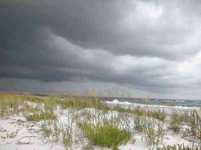
The plants grow to 6 feet high and they function to trap wind-blown sands that eventually mound to begin dune formation.
-
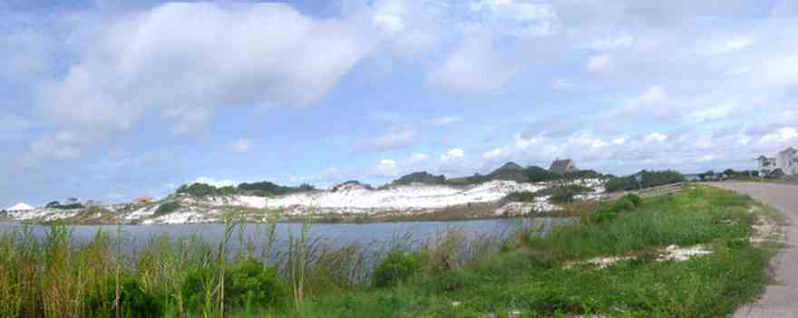
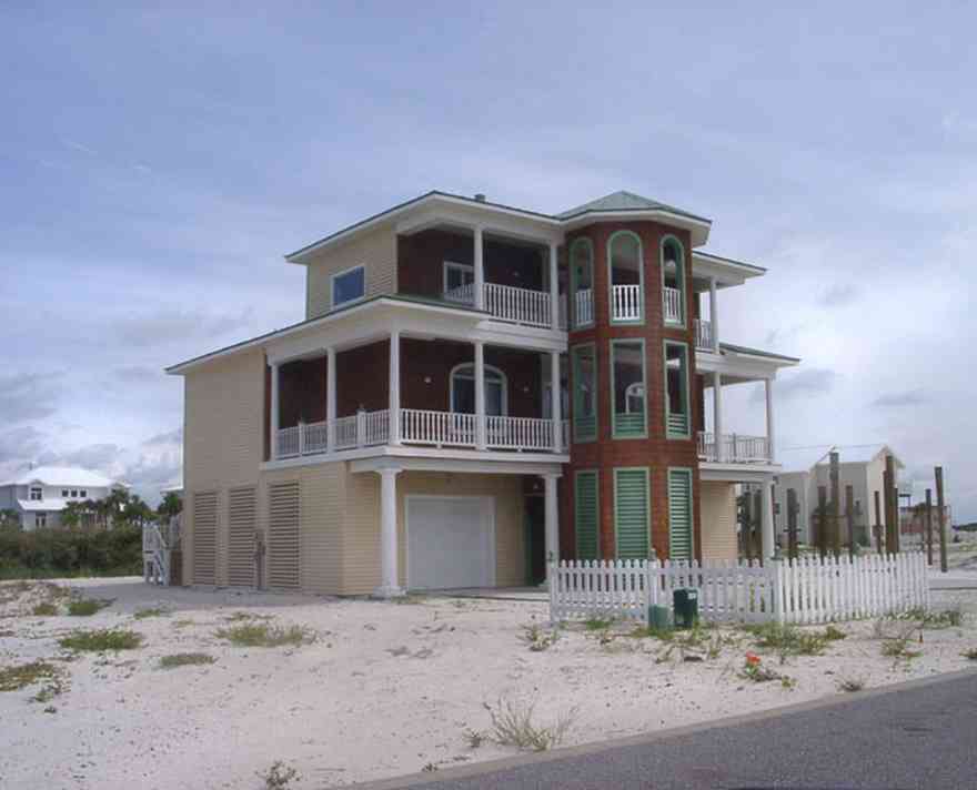
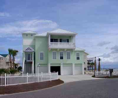
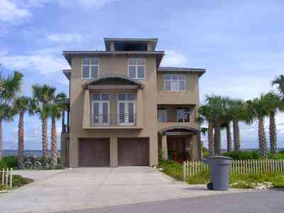
The small lake is located on Sugar Bowl Lane and Via de Luna Drive on Santa Rosa Island. The area is known for its large dunes which shelter homes built on the soundside of the dune formations.
-
-
-
-

This photo features Sugar The Wonder Dog. Dogs are not allowed on the beach so it was a surprise to see a golden retriver playing in the sand.
-

Sea oats have a deep stem that may reach several feet below the surface of the dune. As the dune continues to grow, this stem send out vigorous branching rhizomes at or just below ground level. As a result a sea oat may reach to the very base of the dune that supports it with a laybrinth of rootlike structures.
-

The modified branches of the sea oat insure that the plant captures an adequate water supply from the porous sand while at the same time staying firmly planted in position.
-
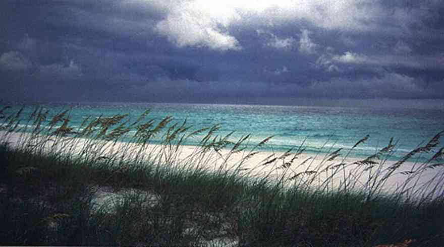
The white sand actually traveled from the Appalachian mountains from local rivers. The dunes are tops with a smattering of sea oats.
-
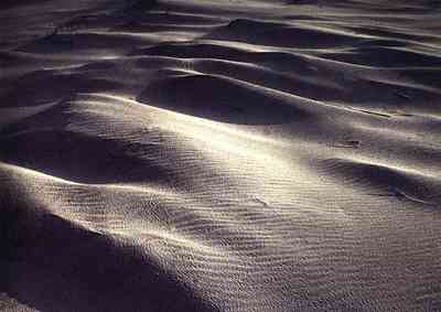
Some of the large dunes are likely the remains of ancient beach ridges that formed during a higher stand of the sea.
-
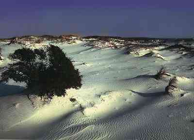
Summer is best for saltwater and beach ativities; fall, winter, and spring are best for birds.
-

A two lane road runs through the middle of the island.
-
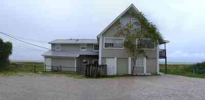
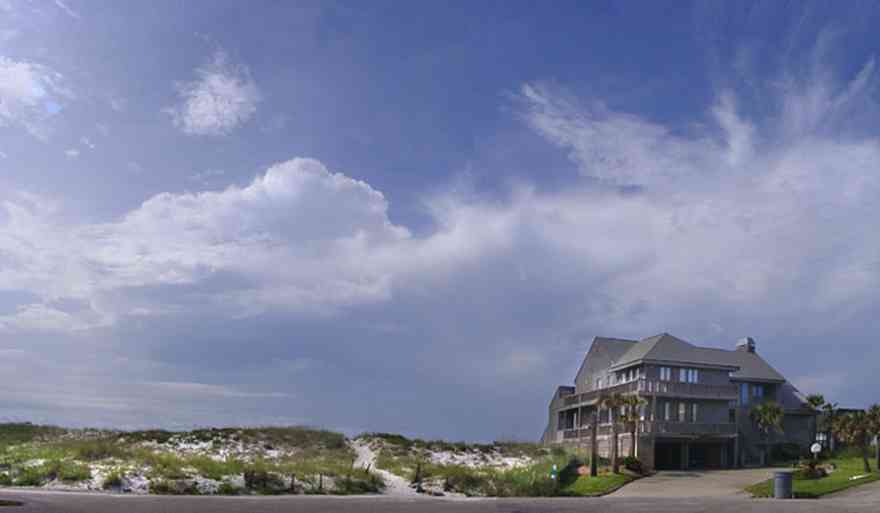
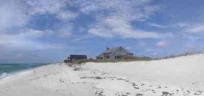
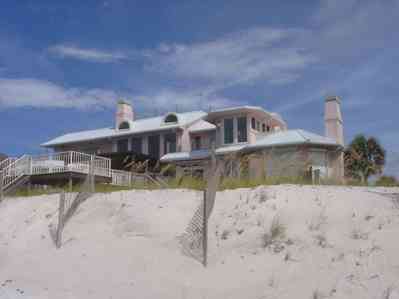
This is the street view of a home located on Perdido Key Drive.
-
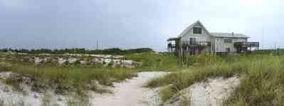
Dunes surround the house which faces south on the Gulf of Mexico.
-

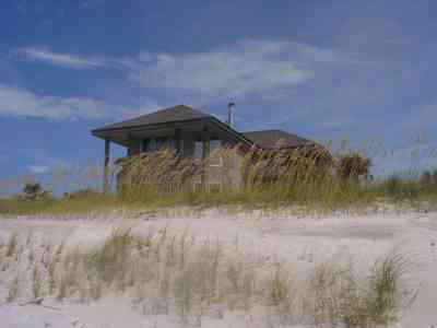
The home is surrounded by dunes. Sea oats, lichens and cacti are ground cover.
-
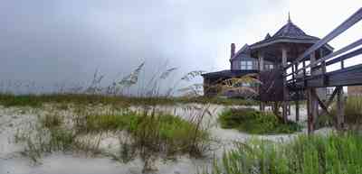
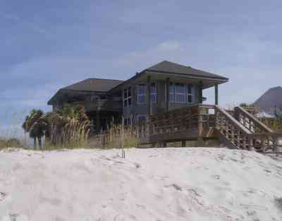
The facade of the house faces the Gulf of Mexico.
-
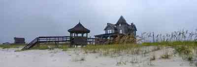
The home is isolated in the center of acres of native plants on low dune formations.
-
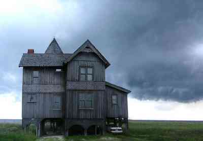
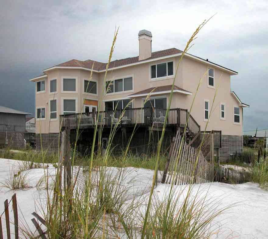
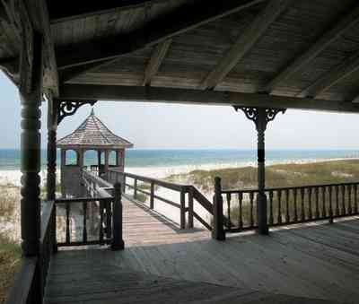
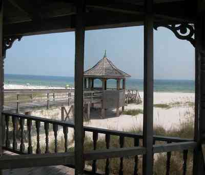
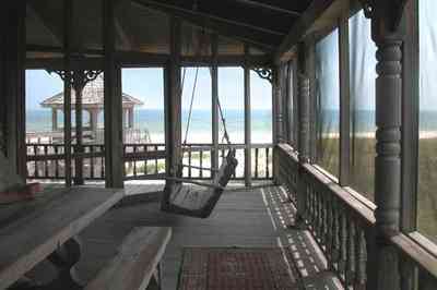
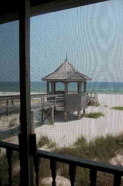
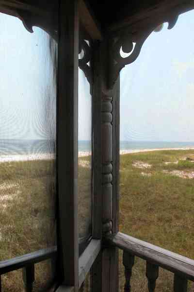
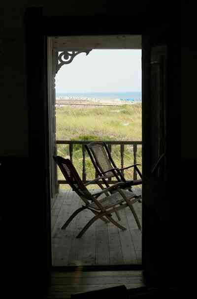
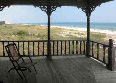
This is a southern view of the gothic beach house from the vantage point of Perdido Key Drive.
-
-
-
-
-
-
-
-
-
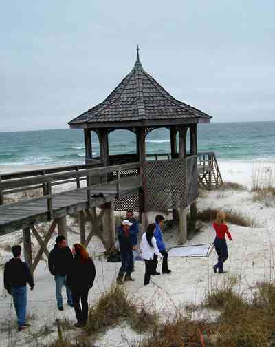
A photo shoot sets up near the gazebo. Wrangler Jeans choose the house as a location for its fall advertising campaign.
-
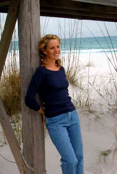
A Wrangler model poses under the boardwalk.
-
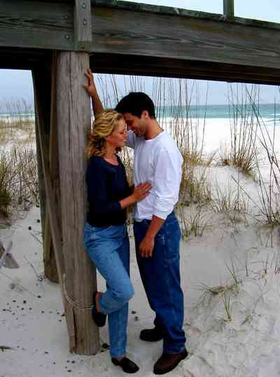
Photos from the shoot will be used to establish a point-of-puchase campaign at WalMart stores.
-
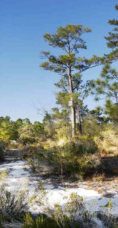
The sand pine forest is located on the sound side of the key on older dunes.
-
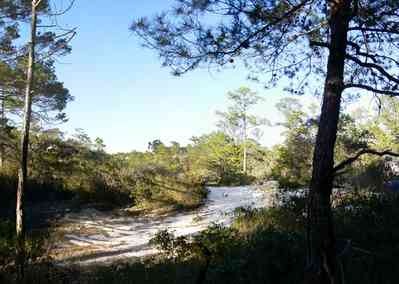
Ridges of old dunes form hills and valleys through the forest.
-
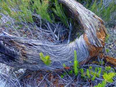
Pieces of pine scrub trees decay slowly because of the high content of sap.
-
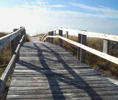
Several walkways lead across the dunes to the beachfront. There is an ample parking bay adjacent to the area.
-
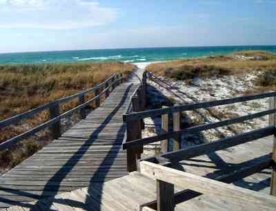
Boardwalks from the parking lot allow visitors to access the beach without causing damage to the fragile dunes and beach vegetation.
-
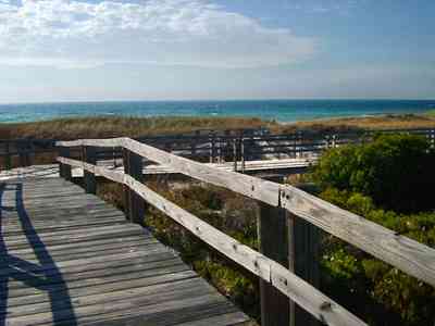
Visitors can view native plants and animals in the natural environment.
-

These were taken just before the road was finished and then damaged again by Dennis.
-
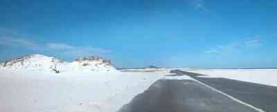
There are few large dunes along the gulf side.

 The back porch view shows the shallow width of Dead Man's Island. The bay side of the island has narrow dune formations. Sea grasses and trees are the vegetation on the channel side of the island.


 A diversity of gulls, terns and various shorebirds can be found year-round feeding at the shore.
 Beach elder (Iva imbricata) has sparse, woody, upright stems and fleshy narrow bright green leaves. Small lavender flowers occur in late summer. Beach elder accumulates sand rapidly and produces low rounded dunes.


 The road to the fortifications bisects the narrow barrier island.


 The dune formations are more massive than those in the center of the island. This area is isolated from many of the public beach sites.
 The yellow flowering plants in the foreground are Woody Goldenrod (Chrysoma pauciflosculosa) of the Sunflower Family. (source: Searcy, Darryl. Botanist)
 The yellow flowering plants in the foreground are Woody Goldenrod (Chrysoma pauciflosculosa) of the Sunflower Family. (source: Searcy, Darryl. Botanist)
 The yellow flowering plants in the foreground are Woody Goldenrod (Chrysoma pauciflosculosa) of the Sunflower Family. (source: Searcy, Darryl. Botanist)
 The yellow flowering plants in the foreground are Woody Goldenrod (Chrysoma pauciflosculosa) of the Sunflower Family. (source: Searcy, Darryl. Botanist)
 The yellow flowering plants in the foreground are Woody Goldenrod (Chrysoma pauciflosculosa) of the Sunflower Family. (source: Searcy, Darryl. Botanist)
 The small lake is approximately seven acres in size. It borders Escambia Bay.
 The building was formerly used as the Coast Guard Station.
 This view of the Ranger Station is taken near the wreck of the Norweigan bark, the Catherine, which is located in 15 feet of water where it sank on August 7, 1894. The outline of the vessel can be seen as a dark shadow on the surface.
 The boardwalk can be seen from the interior of the building.
 Battery Langdon is directly across Fort Pickens Road from the shelter and walkway leading to the gulf.


 The fence is located at the Opal Beach sign, three miles from the Opal Beach boardwalk.


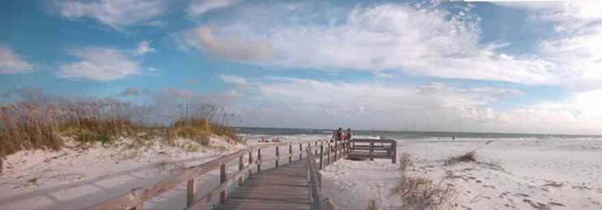
 The boardwalk is typical of the crossovers at parking bays along the coast.
 This is a short run boardwalk from the parking lot over the dunes.
 The boardwalk aids in the formation of its own dune alongside of the walkway.
 The boardwalk ends in a larger staging area across the dunes.
 The boardwalk leads from Johnson Beach Road to the Gulf.
 There is little wave action on the sound side.


 Santa and his helpers enjoy refreshments.
 Tom Roush stands atop a dune formation.
 The beach road bisects Santa Rosa Island.
 The dunes form undulating ridges along the north side of the beach road. This area is across the road from Parking Lot 10 at the Gulf Islands National Seashore.
 Sparse vegetation holds the dunes in place.
 Some of dune formations on the north side of the beach road rise to a height of about 30 feet.
 The Gulf can be seen on the far right of the photograph.
 Beach grasses have long roots that form a subsurface net, keeping the dunes from disintegrating.
 Beach elder accumulates sand rapidly and produces low rounded dunes.
 Beach elder (Iva imbricata) has sparse, woody, upright stems and fleshy narrow bright green leaves. Small lavender flowers occur in late summer.
 East Park is located at the farthest point within the jurisdiction of Escambia County. It is adjacent to the Gulf Island National Seashore.
 Breaking waves run up on wide, sandy beaches against a backdrop of large sand dunes topped with a smattering of sea oats.
 Atop and just behind the dunes lies an intriguing habitat that supports a limited but interesting array of plants and animals.
 Deep white sand is so fine that the beach below you squeaks when you walk. Its seaward edges borders deep green and blue water.

 Sea oats are the preferred landscaping element at the beach.


 The road bisects Santa Rosa Island.
 The large dunes are located on the soundside or northside of the island.
 The sparse vegetation has extensive root systems that hold the dunes in place.
 Emerald water on the right of the photograph is on the gulf side of the island.
 The seed heads mature in August.
 Sea Oats provide long term protection against beach erosion and add natural beauty to coastal ecosystems.
 The plants grow to 6 feet high and they function to trap wind-blown sands that eventually mound to begin dune formation.
 The small lake is located on Sugar Bowl Lane and Via de Luna Drive on Santa Rosa Island. The area is known for its large dunes which shelter homes built on the soundside of the dune formations.


 This photo features Sugar The Wonder Dog. Dogs are not allowed on the beach so it was a surprise to see a golden retriver playing in the sand.
 Sea oats have a deep stem that may reach several feet below the surface of the dune. As the dune continues to grow, this stem send out vigorous branching rhizomes at or just below ground level. As a result a sea oat may reach to the very base of the dune that supports it with a laybrinth of rootlike structures.
 The modified branches of the sea oat insure that the plant captures an adequate water supply from the porous sand while at the same time staying firmly planted in position.
 The white sand actually traveled from the Appalachian mountains from local rivers. The dunes are tops with a smattering of sea oats.
 Some of the large dunes are likely the remains of ancient beach ridges that formed during a higher stand of the sea.
 Summer is best for saltwater and beach ativities; fall, winter, and spring are best for birds.
 A two lane road runs through the middle of the island.
 This is the street view of a home located on Perdido Key Drive.
 Dunes surround the house which faces south on the Gulf of Mexico.
 The home is surrounded by dunes. Sea oats, lichens and cacti are ground cover.
 The facade of the house faces the Gulf of Mexico.
 The home is isolated in the center of acres of native plants on low dune formations.
 This is a southern view of the gothic beach house from the vantage point of Perdido Key Drive.


 A photo shoot sets up near the gazebo. Wrangler Jeans choose the house as a location for its fall advertising campaign.
 A Wrangler model poses under the boardwalk.
 Photos from the shoot will be used to establish a point-of-puchase campaign at WalMart stores.
 The sand pine forest is located on the sound side of the key on older dunes.
 Ridges of old dunes form hills and valleys through the forest.
 Pieces of pine scrub trees decay slowly because of the high content of sap.
 Several walkways lead across the dunes to the beachfront. There is an ample parking bay adjacent to the area.
 Boardwalks from the parking lot allow visitors to access the beach without causing damage to the fragile dunes and beach vegetation.
 Visitors can view native plants and animals in the natural environment.
 These were taken just before the road was finished and then damaged again by Dennis.
 There are few large dunes along the gulf side.
 One Tank of Gas