-
-
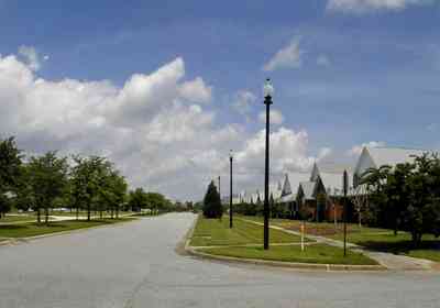
This section of the development has zero lot line house prints for those owners who want a low maintanence dwelling. Garages are accessed from an adjacent street to the east.
-
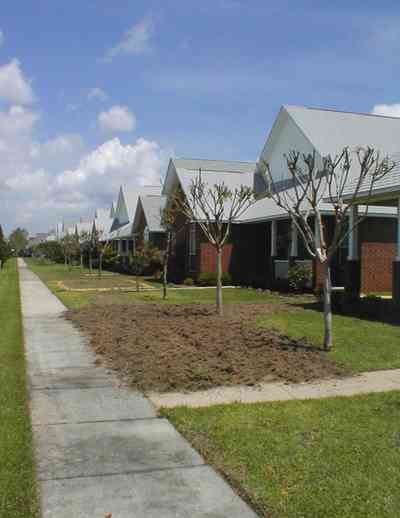
The facade of the homes face the boulevard while the garage access is shown below. Each lot runs through the entire block.
-
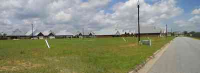
This area contains the remaining lots to be developed.
-

The childrens park can be seen in the left of the photograph. To the north is a baseball field and basketball courts.
-

This is the core section of the development with homes ranging in size form 2,000 - 3,500 square feet on 1/2 acre lots.
-
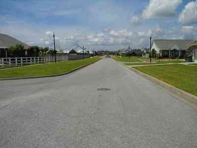
The white split-rail fences define the spaces within the development and add to an overall theme of small town living.
-
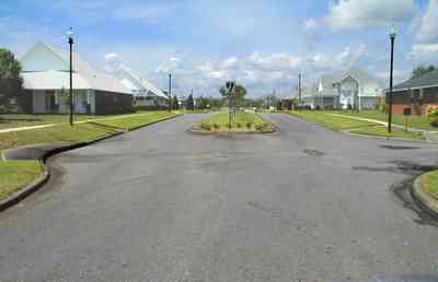
The main boulevard, running north and south was named after Dr. Ray Oldenberg who set the theme for the development.
-

Oak trees line the main boulevard. Each homeowner is responsible for planting crepe myrtles and hardwood trees.
-

The children's park faces Milestone Boulevard on the southwest corner.
-
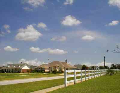
The fence marks the beginning of the jogging track which runs through the core area of the development.
-
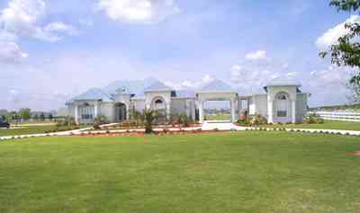
There are two acre lots on the north and east side of the development.
-
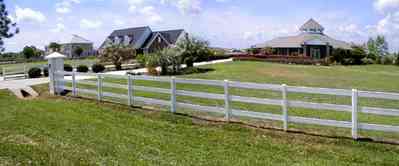
The white split rail fencing is maintained by the Milestone Property Owners Association.
-
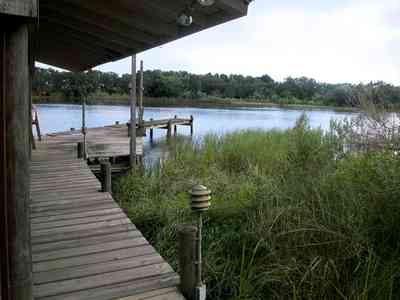
Most of the homes on the bluff have a fishing pier.
-
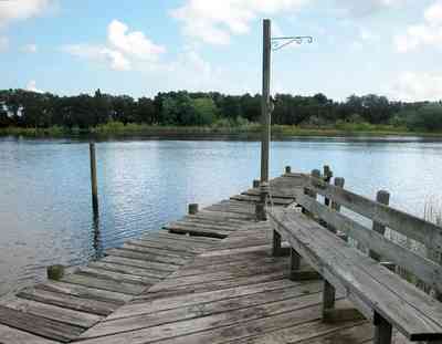
The inlet is protected from the bay.
-
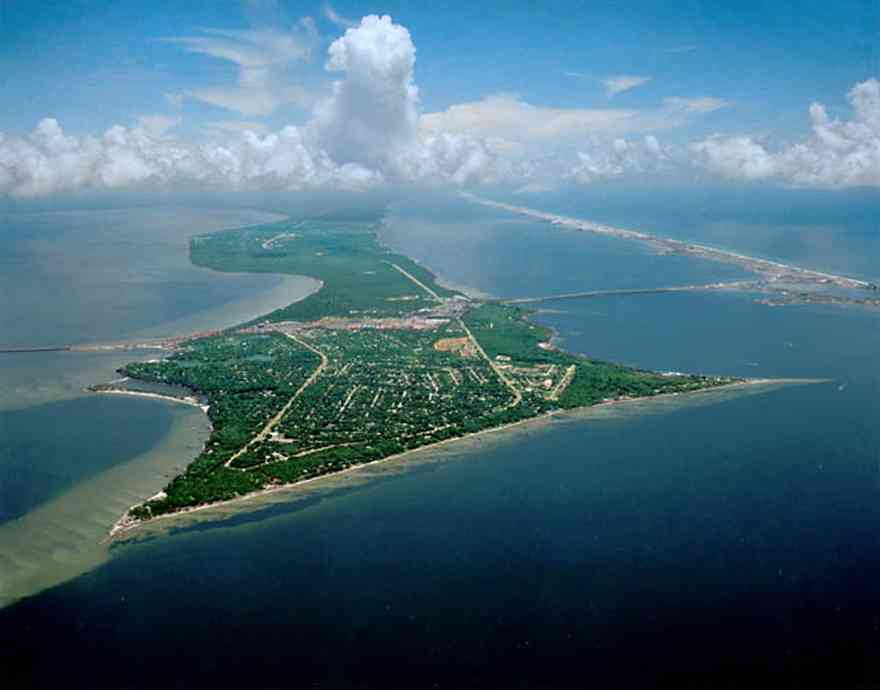
Gulf Breeze is located between Pensacola on the north and Santa Rosa Island on the south.
-
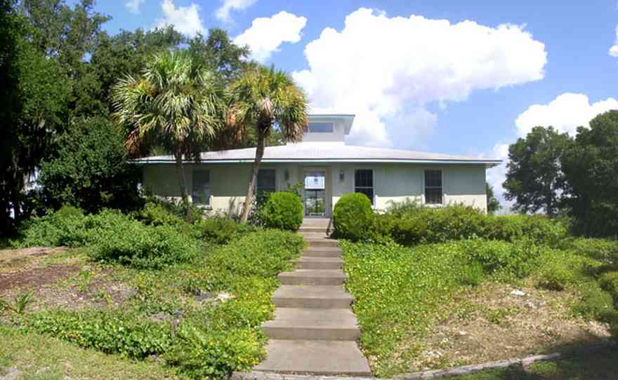
The home is located on a cul-de-sac with water on two sides. This is the southern facade of the house.
-
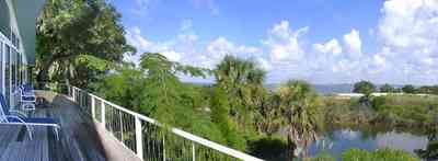
The back porch view shows the shallow width of Dead Man's Island. The bay side of the island has narrow dune formations. Sea grasses and trees are the vegetation on the channel side of the island.
-
-
-
-

-
-
-
-
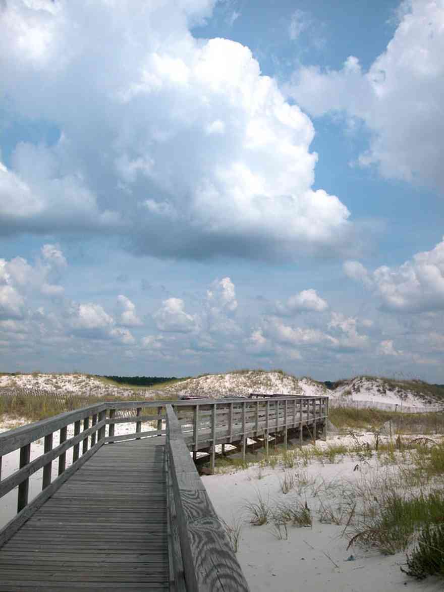
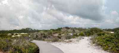
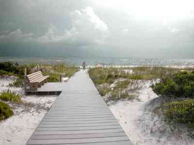
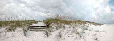
The boardwalk leads from Johnson Beach Road to the Gulf.
-
Gulf Islands National Seashore is open year-round. A dune crossover is recommended to save vegetation and wearing
down of the dune.
-
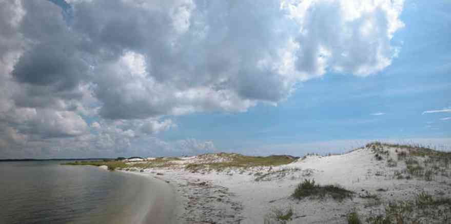
There is little wave action on the sound side.
-
-
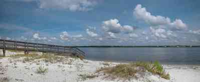
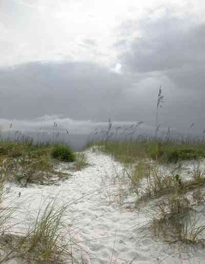
A short boardwalk leads from the road to the water.
-
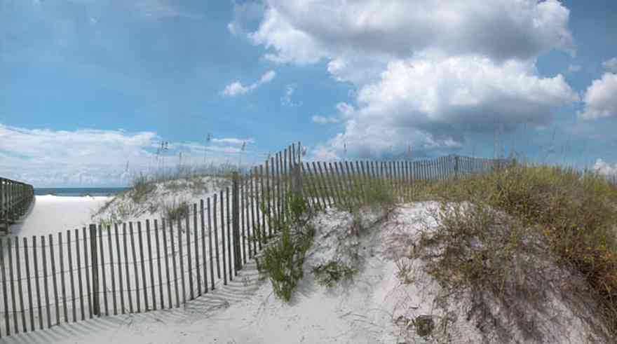
There is a boardwalk on the Gulf side of the turn-around leading to the beach.
-

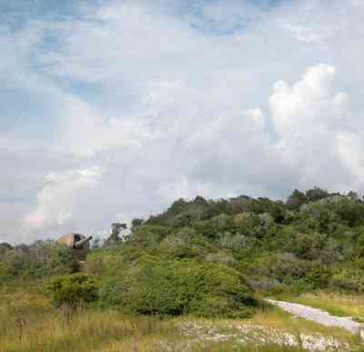
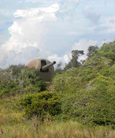
For nature lovers, the park is a good place to begin an exploration of the barrier island ecosystem.
-
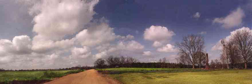
-

Each section of the tree farm has sign so that the customer can identify the variety.
-

This is a reverse of the photograph above showing the relationship of the green rye pasture to the northwest.
-

The view from the west tree lot looks back on the green pasture. The mature pines on the right of the frame can be seen as the tree line in the photograph above on the left of the upper tree line.
-
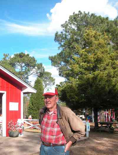
Mr. Dean Schnoor is the proprietor of the Chrismas tree farm.
-
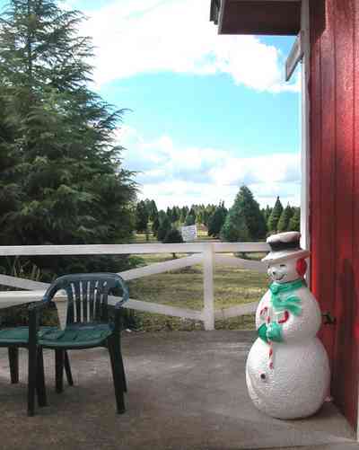
Hundreds of school children visit the farm every year.
-
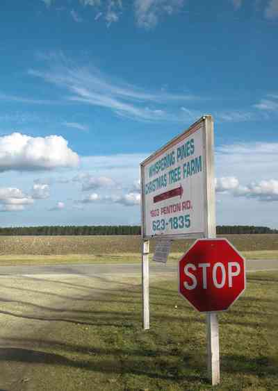
The tree farm is located on Penton Road.
-

-

-
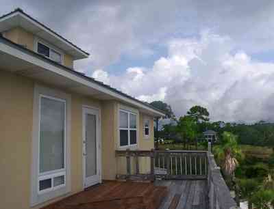
The third level of the home with a top level cupola is visible at the roof line. The development to the north can be seen across the wetland area.
-

-
-
-

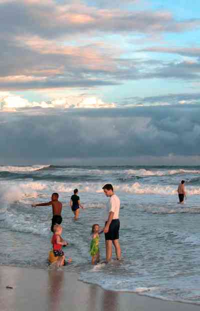
The beach road bisects Santa Rosa Island.
-
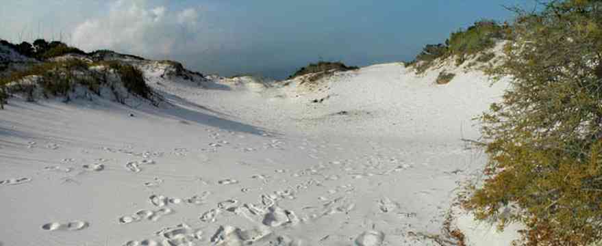
The dunes form undulating ridges along the north side of the beach road. This area is across the road from Parking Lot 10 at the Gulf Islands National Seashore.
-
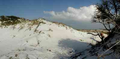
Sparse vegetation holds the dunes in place.
-

Some of dune formations on the north side of the beach road rise to a height of about 30 feet.
-
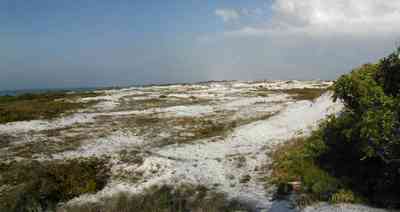
The Gulf can be seen on the far right of the photograph.
-
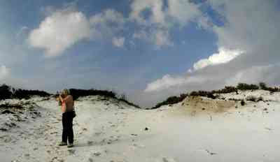
Beach grasses have long roots that form a subsurface net, keeping the dunes from disintegrating.
-
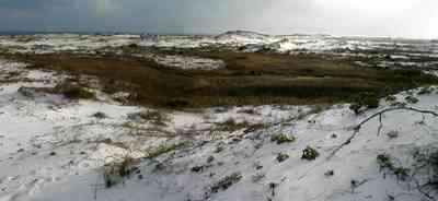
Beach elder accumulates sand rapidly and produces low rounded dunes.
-
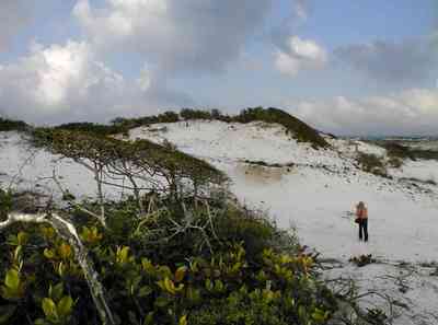
Beach elder (Iva imbricata) has sparse, woody, upright stems and fleshy narrow bright green leaves. Small lavender flowers occur in late summer.
-

The road bisects Santa Rosa Island.
-

The large dunes are located on the soundside or northside of the island.
-
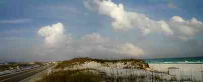
The sparse vegetation has extensive root systems that hold the dunes in place.
-

Emerald water on the right of the photograph is on the gulf side of the island.
-
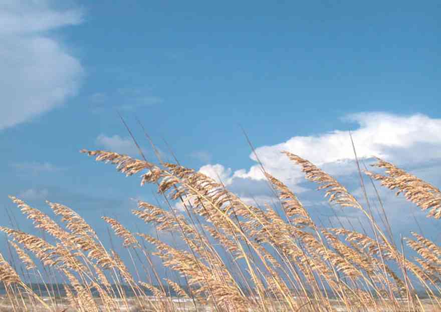
The seed heads mature in August.
-
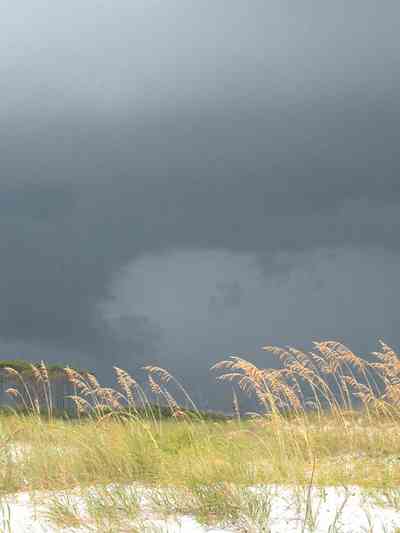
Sea Oats provide long term protection against beach erosion and add natural beauty to coastal ecosystems.
-
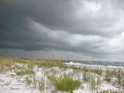
The plants grow to 6 feet high and they function to trap wind-blown sands that eventually mound to begin dune formation.
-
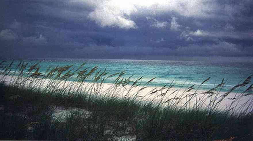
The white sand actually traveled from the Appalachian mountains from local rivers. The dunes are tops with a smattering of sea oats.
-
-
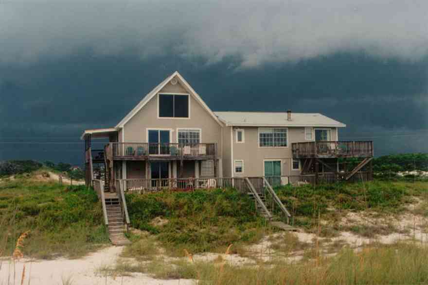
This north view shows the facade of the house which faces the Gulf of Mexico
-

The gazebo overlooks the Gulf of Mexico on the beachfront.
-
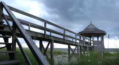
The walkway extends from the house to the beachfront gazebo.
-
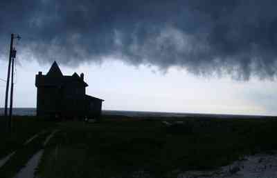
The home is located approximately 200 feet from Perdido Key Drive.
-
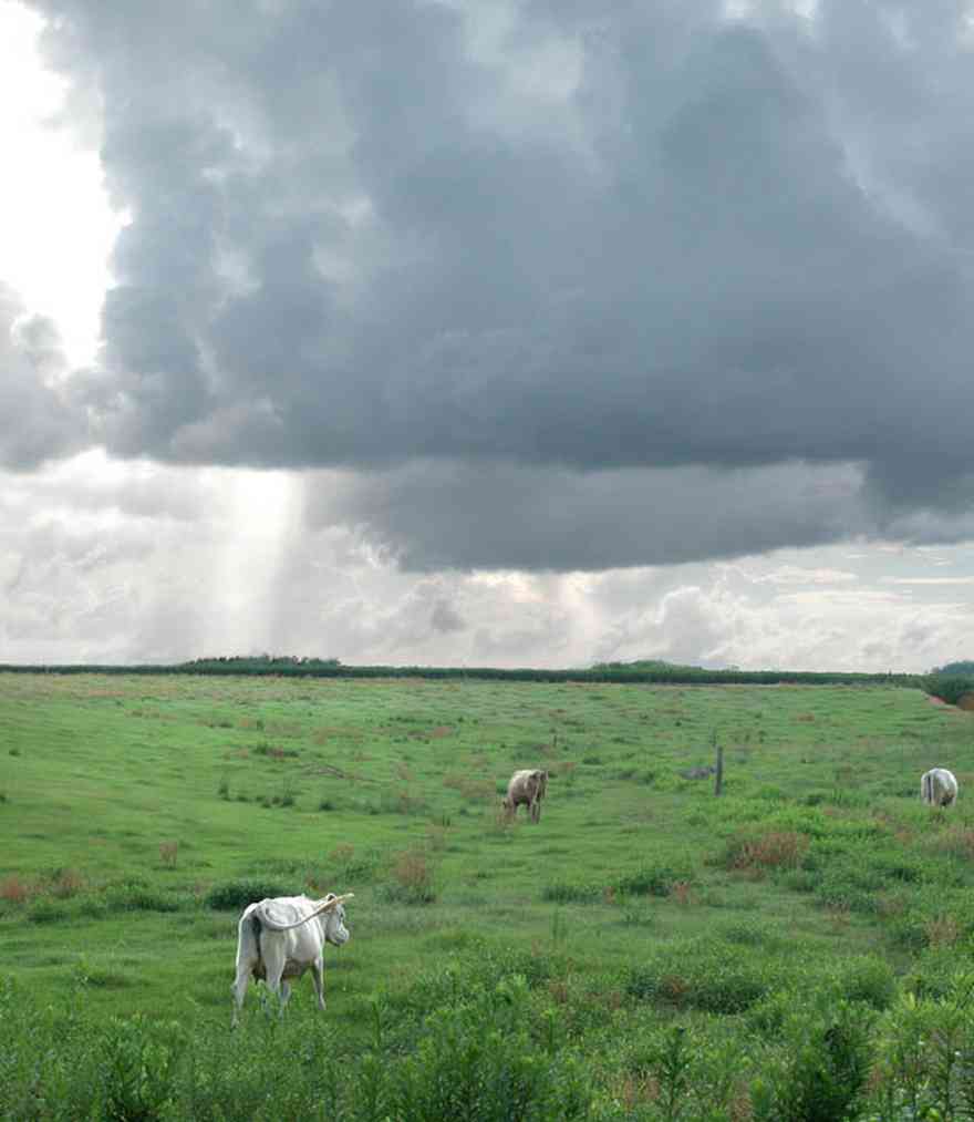
There are several dairy farms along Kansas Road.
-

There are catfish ponds on both sides of the dirt road.
-
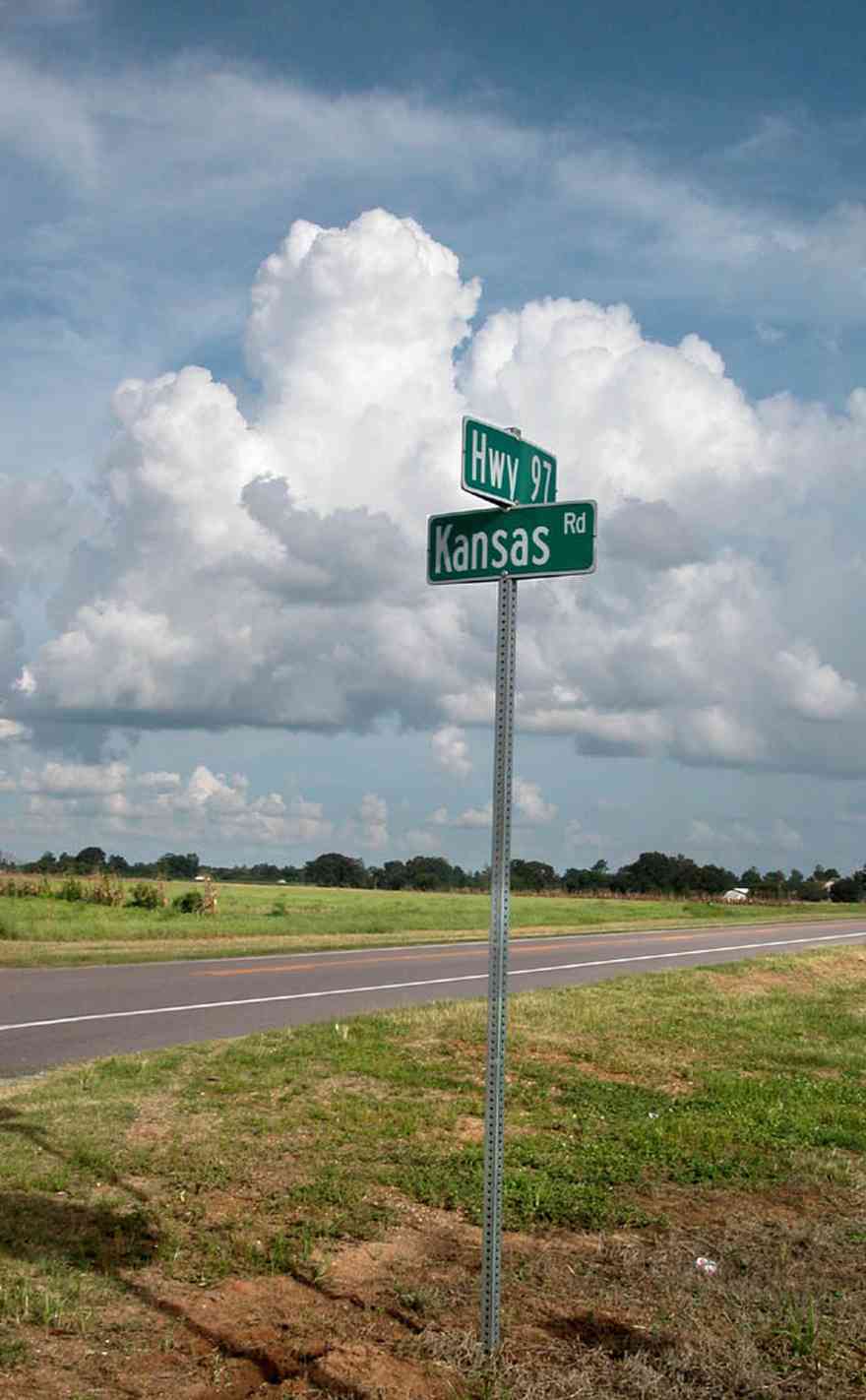
All of the land fronting on Kansas Road is under cultivation as row crops or in use as pasture land.
-

There are cotton fields stretching for several miles on both sides of Kansas Road.
-

The farm is located at the intertection of Morgan and Arthur Brown Road.
-
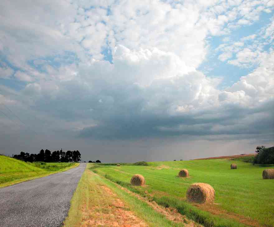
Round bales, which are typically weigh 700–900 lbs, are more moisture-resistant, and pack the hay more densely (especially at the center). Round bales are quickly fed with the use of mechanized equipment.


 This section of the development has zero lot line house prints for those owners who want a low maintanence dwelling. Garages are accessed from an adjacent street to the east.
 The facade of the homes face the boulevard while the garage access is shown below. Each lot runs through the entire block.
 This area contains the remaining lots to be developed.
 The childrens park can be seen in the left of the photograph. To the north is a baseball field and basketball courts.
 This is the core section of the development with homes ranging in size form 2,000 - 3,500 square feet on 1/2 acre lots.
 The white split-rail fences define the spaces within the development and add to an overall theme of small town living.
 The main boulevard, running north and south was named after Dr. Ray Oldenberg who set the theme for the development.
 Oak trees line the main boulevard. Each homeowner is responsible for planting crepe myrtles and hardwood trees.
 The children's park faces Milestone Boulevard on the southwest corner.
 The fence marks the beginning of the jogging track which runs through the core area of the development.
 There are two acre lots on the north and east side of the development.
 The white split rail fencing is maintained by the Milestone Property Owners Association.
 Most of the homes on the bluff have a fishing pier.
 The inlet is protected from the bay.
 Gulf Breeze is located between Pensacola on the north and Santa Rosa Island on the south.
 The home is located on a cul-de-sac with water on two sides. This is the southern facade of the house.
 The back porch view shows the shallow width of Dead Man's Island. The bay side of the island has narrow dune formations. Sea grasses and trees are the vegetation on the channel side of the island.


 The boardwalk leads from Johnson Beach Road to the Gulf.
 Gulf Islands National Seashore is open year-round. A dune crossover is recommended to save vegetation and wearing down of the dune.
 There is little wave action on the sound side.
 A short boardwalk leads from the road to the water.
 There is a boardwalk on the Gulf side of the turn-around leading to the beach.
 For nature lovers, the park is a good place to begin an exploration of the barrier island ecosystem.
 Each section of the tree farm has sign so that the customer can identify the variety.
 This is a reverse of the photograph above showing the relationship of the green rye pasture to the northwest.
 The view from the west tree lot looks back on the green pasture. The mature pines on the right of the frame can be seen as the tree line in the photograph above on the left of the upper tree line.
 Mr. Dean Schnoor is the proprietor of the Chrismas tree farm.
 Hundreds of school children visit the farm every year.
 The tree farm is located on Penton Road.

 The third level of the home with a top level cupola is visible at the roof line. The development to the north can be seen across the wetland area.


 The beach road bisects Santa Rosa Island.
 The dunes form undulating ridges along the north side of the beach road. This area is across the road from Parking Lot 10 at the Gulf Islands National Seashore.
 Sparse vegetation holds the dunes in place.
 Some of dune formations on the north side of the beach road rise to a height of about 30 feet.
 The Gulf can be seen on the far right of the photograph.
 Beach grasses have long roots that form a subsurface net, keeping the dunes from disintegrating.
 Beach elder accumulates sand rapidly and produces low rounded dunes.
 Beach elder (Iva imbricata) has sparse, woody, upright stems and fleshy narrow bright green leaves. Small lavender flowers occur in late summer.
 The road bisects Santa Rosa Island.
 The large dunes are located on the soundside or northside of the island.
 The sparse vegetation has extensive root systems that hold the dunes in place.
 Emerald water on the right of the photograph is on the gulf side of the island.
 The seed heads mature in August.
 Sea Oats provide long term protection against beach erosion and add natural beauty to coastal ecosystems.
 The plants grow to 6 feet high and they function to trap wind-blown sands that eventually mound to begin dune formation.
 The white sand actually traveled from the Appalachian mountains from local rivers. The dunes are tops with a smattering of sea oats.
 This north view shows the facade of the house which faces the Gulf of Mexico
 The gazebo overlooks the Gulf of Mexico on the beachfront.
 The walkway extends from the house to the beachfront gazebo.
 The home is located approximately 200 feet from Perdido Key Drive.
 There are several dairy farms along Kansas Road.
 There are catfish ponds on both sides of the dirt road.
 All of the land fronting on Kansas Road is under cultivation as row crops or in use as pasture land.
 There are cotton fields stretching for several miles on both sides of Kansas Road.
 The farm is located at the intertection of Morgan and Arthur Brown Road.
 Round bales, which are typically weigh 700–900 lbs, are more moisture-resistant, and pack the hay more densely (especially at the center). Round bales are quickly fed with the use of mechanized equipment.
 One Tank of Gas