-
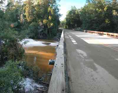
Coldwater Creek runs through the park.
-
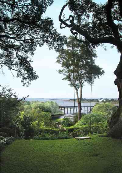
The CSX railroad trestle and the Gulf Breeze Bridge can be seen in the background.
-
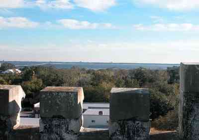
Pensacola Bay is visible from the roof of the old hospital.
-
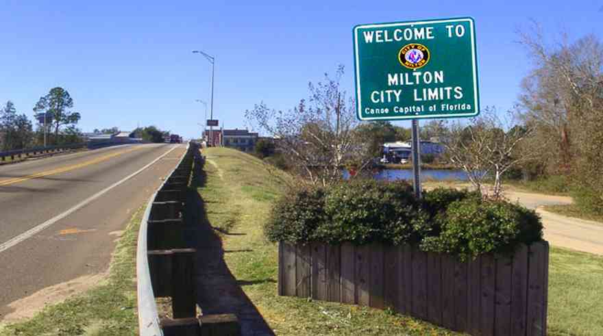
Milton is located on the Blackwater River. This two-lane bridge forms the entrance to the town.
-
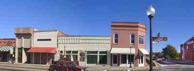
In this view of Willing Street north of the bridge, a continuation of the renovated store front buildings are seen. After a disastrous fire in 1911, the buildings were rebuilt with bricks.
-
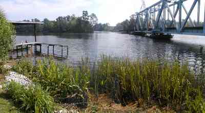
The trestle bridge can be seen from the riverwalk.
-
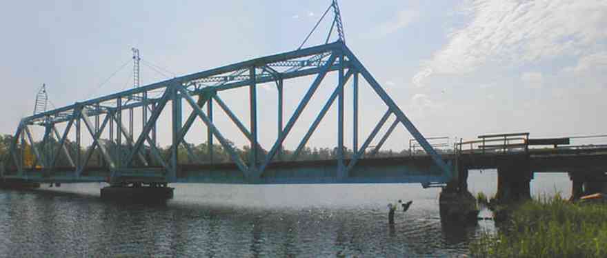
The drawbridge is located directly downriver from the automobile bridge.
-
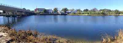
The town of Milton is located on the Blackwater River. Boats approaching Milton from Destin, Navarre, the Intercostal Waterway, Pensacola and the Gulf of Mexico can enjoy long-term and short-term docking or quiet anchorage in the gentle waters of the Blackwater.
-

The riverwalk park extends for three blocks in the historic district of the downtown area along the river.
-
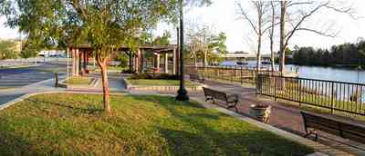
The Riverwalk continues on the south side of the Blackwater Bridge.
-
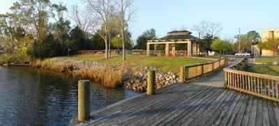
The dock of the south Riverwalk extends out into the river. The channel leading to Milton from Escambia Bay, through East Bay, then north to the mouth of the river is deep and well marked. Depths to Milton range from 12 to 26 feet making entry by large vessels easy.
-

The entrance to the home is accessible over a quaint wooden bridge with a key code at the gate.
-

The wooden bridge is built across a wetland area. which forms a development buffer between the shoreline homes and a subdivision to the north.
-
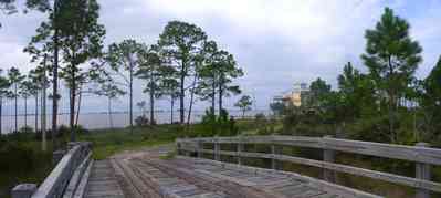
Santa Rosa Sound is visible in the background.
-
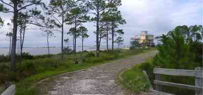
The driveway is built with concrete blocks to form a pervious drainage surface adjacent to the wetland area on the right of the frame. A southwest view of the house can be seen in the distance.
-
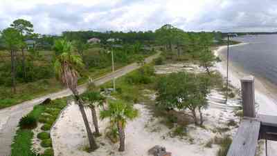
The driveway and bridge across the wetland area is visible in this eastern view from the second floor balcony of the house.
-
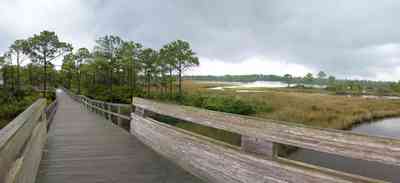
The boardwalk offers a panoramic view of Big Lagoon, the park and Gulf Islands National Seashore across the Intracostal Waterway.
-

Highway 292 runs through Perdido Key.
-
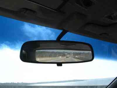
Looking back towards Lillian.
-
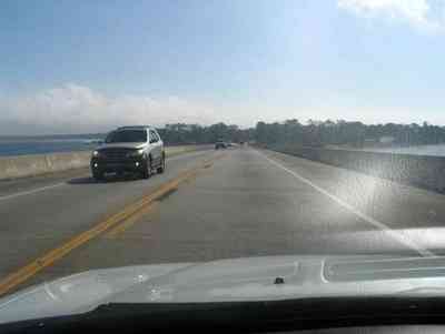
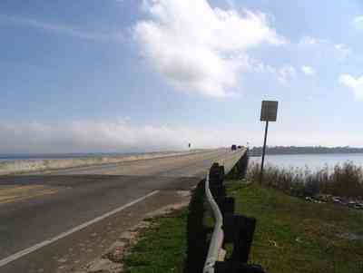
Approaching the FL side of the bridge. The emergency lanes didn't used to be part of this kind of bridge, but now there is enough room to pull over a stalled car and even to change a flat. Formerly, a stalled car was a real traffic hazard because it blocked lanes.
-
-
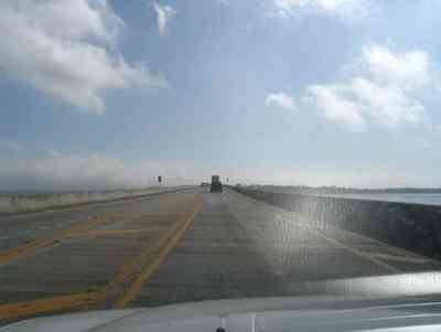
Yes, I took this from my car. Not the best photo, but the shoulder of this bridge is narrow and I didn't want to get out in the lanes.
-
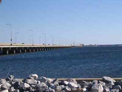
From the Pensacola side, the hump in the middle is seen. It allows barge and boat traffic to cross into Escambia Bay to the North. Riprap, seen in the foreground normally works by absorbing the impact of a wave before the wave reaches the cliff or sea defense, and so minimizes the erosion caused by the wave
-
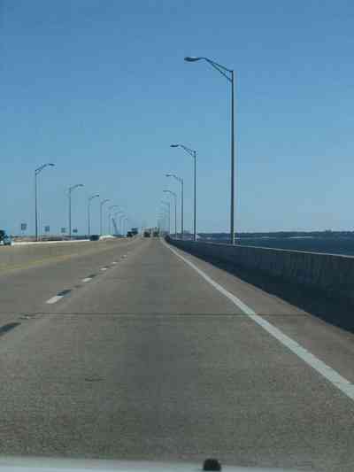
Heading east over the bridge. Emergency lanes were added several years ago.
-
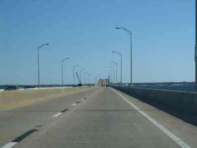
The bridge has a hump in the middle to allow boat and barge traffic to pass under.
-
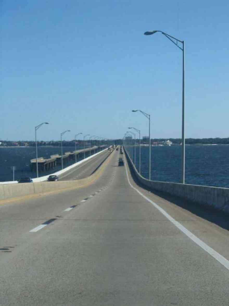
Looking down the hump towards the east at the city of Gulf Breeze. The old bridge sections can be seen at left. That was the bridge that crossed the bay previous to the new bridge. It was used for fishing until Hurricane Ivan took portions of it down. The isolated sections are being brought down one by one.
-
-
-
-
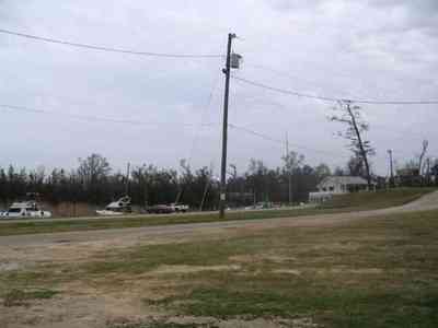
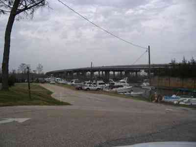
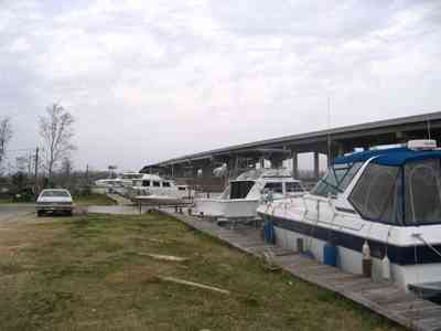
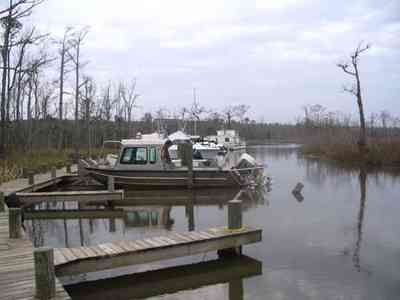
In the summer, the parking area is covered with trucks and empty boat trailers as fishermen use the marina to launch in to the Escambia Bay to fish.
-
-
-
-
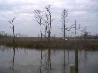
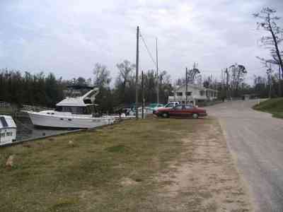
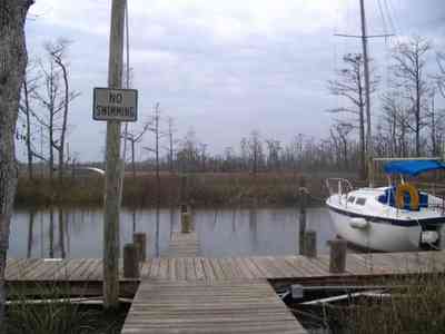
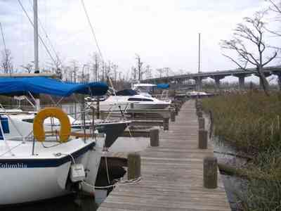
In the distance are boats pushed through the reeds and destroyed by Hurricane Ivan. Hurricanes have formed the background and shaped the history of Pensacola from the first settlement.

 Coldwater Creek runs through the park.
 The CSX railroad trestle and the Gulf Breeze Bridge can be seen in the background.
 Pensacola Bay is visible from the roof of the old hospital.
 Milton is located on the Blackwater River. This two-lane bridge forms the entrance to the town.
 In this view of Willing Street north of the bridge, a continuation of the renovated store front buildings are seen. After a disastrous fire in 1911, the buildings were rebuilt with bricks.
 The trestle bridge can be seen from the riverwalk.
 The drawbridge is located directly downriver from the automobile bridge.
 The town of Milton is located on the Blackwater River. Boats approaching Milton from Destin, Navarre, the Intercostal Waterway, Pensacola and the Gulf of Mexico can enjoy long-term and short-term docking or quiet anchorage in the gentle waters of the Blackwater.
 The riverwalk park extends for three blocks in the historic district of the downtown area along the river.
 The Riverwalk continues on the south side of the Blackwater Bridge.
 The dock of the south Riverwalk extends out into the river. The channel leading to Milton from Escambia Bay, through East Bay, then north to the mouth of the river is deep and well marked. Depths to Milton range from 12 to 26 feet making entry by large vessels easy.
 The entrance to the home is accessible over a quaint wooden bridge with a key code at the gate.
 The wooden bridge is built across a wetland area. which forms a development buffer between the shoreline homes and a subdivision to the north.
 Santa Rosa Sound is visible in the background.
 The driveway is built with concrete blocks to form a pervious drainage surface adjacent to the wetland area on the right of the frame. A southwest view of the house can be seen in the distance.
 The driveway and bridge across the wetland area is visible in this eastern view from the second floor balcony of the house.
 The boardwalk offers a panoramic view of Big Lagoon, the park and Gulf Islands National Seashore across the Intracostal Waterway.
 Highway 292 runs through Perdido Key.
 Looking back towards Lillian.
 Approaching the FL side of the bridge. The emergency lanes didn't used to be part of this kind of bridge, but now there is enough room to pull over a stalled car and even to change a flat. Formerly, a stalled car was a real traffic hazard because it blocked lanes.
 Yes, I took this from my car. Not the best photo, but the shoulder of this bridge is narrow and I didn't want to get out in the lanes.
 From the Pensacola side, the hump in the middle is seen. It allows barge and boat traffic to cross into Escambia Bay to the North. Riprap, seen in the foreground normally works by absorbing the impact of a wave before the wave reaches the cliff or sea defense, and so minimizes the erosion caused by the wave
 Heading east over the bridge. Emergency lanes were added several years ago.
 The bridge has a hump in the middle to allow boat and barge traffic to pass under.
 Looking down the hump towards the east at the city of Gulf Breeze. The old bridge sections can be seen at left. That was the bridge that crossed the bay previous to the new bridge. It was used for fishing until Hurricane Ivan took portions of it down. The isolated sections are being brought down one by one.


 In the summer, the parking area is covered with trucks and empty boat trailers as fishermen use the marina to launch in to the Escambia Bay to fish.


 In the distance are boats pushed through the reeds and destroyed by Hurricane Ivan. Hurricanes have formed the background and shaped the history of Pensacola from the first settlement.
 One Tank of Gas