-
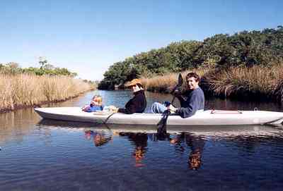
Blackwater rivers are usually free of suspended particles due to the filtering action of the sand, but are reddish black in color from the high content of organic tannins that have been leached from decaying vegetation.
-
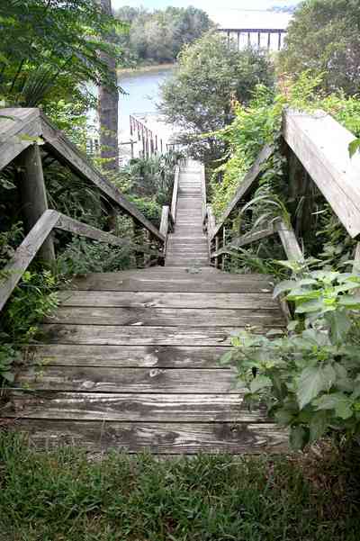
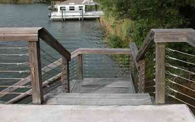
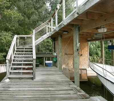
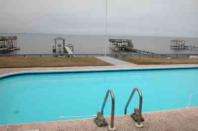
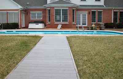
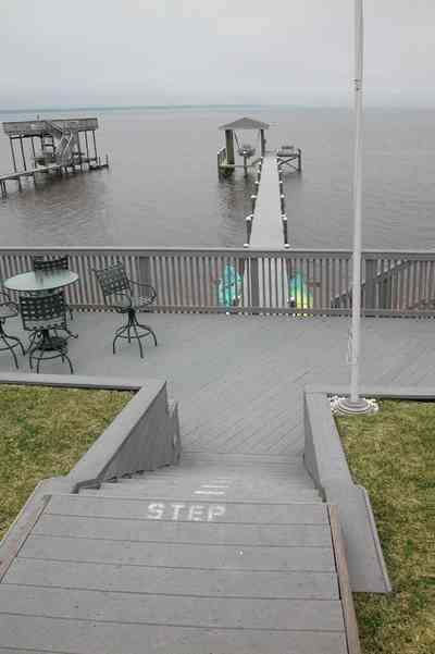
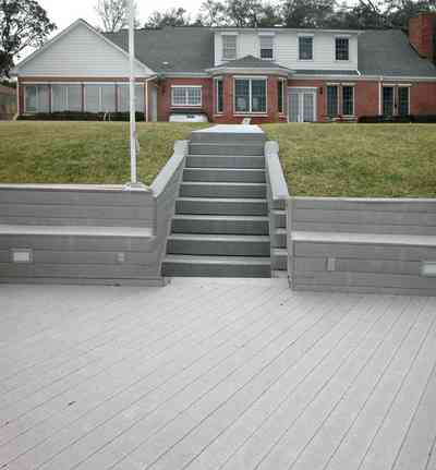
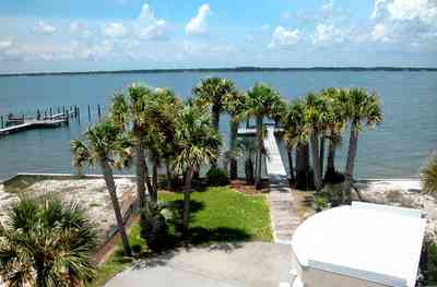
A walkway leads from the backyard to the boat house on the shore of Pensacola Bay.
-
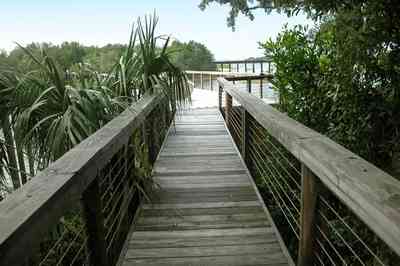
-
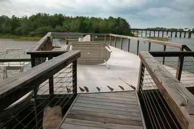
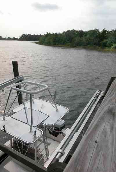
The walkway terminates on top of the boar house.
-
-
There are 11 homes that have waterfront property at the entrance to the Bayou. Most of those property owners have docks and boathouses.
-

A narrow peninsula forms a barrier between the bay and the entrance to the bayou.
-
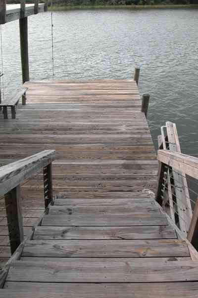
The boat house is located on the left of the photograph.
-
-
-
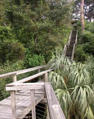
The hillside is covered with natural foliage to prevent erosion. The bay bluffs in this area are unique in the State of Florida and were formed by erosion of the Escambia River which empties into Pensacola Bay.
-
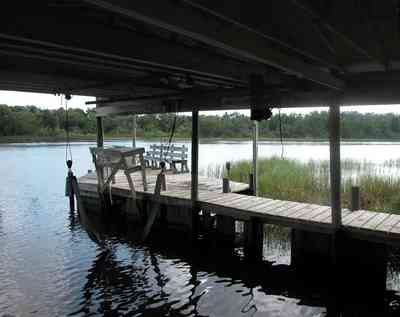
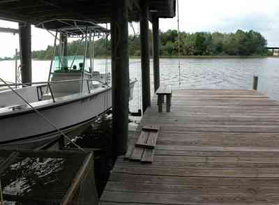
The boat house is flanked by walkways.
-
-
-
-
-
-

-
-
-

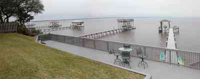
A seating area divides the boat dock and the pier.
-

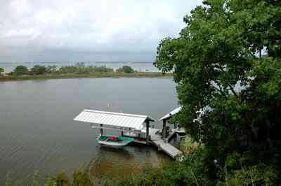
The small boat house can be seen in the center of the photograph. Dead Man's Island is a narrow strip of land separating Escambia Bay from the channel.
-
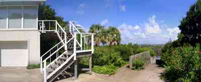
The stairs are located on the east side of the house. The boat ramp for access to the bay can be seen on the right of the picture.
-

A reverse of the above panorama reveals the outline of the simple spoil island.
-

The house is visible in the upper right of the frame. The photograph is taken from the vantage point of the channel, facing southeast. The swing is on the lower right of the frame.
-
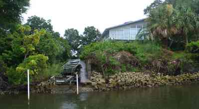
A small boat is visible in the center frame. Small rocks form a retaining wall along the south side of the channel.
-

Vehicles and rental boats are parked in the central parking area adjacent to the camp office and store.
-
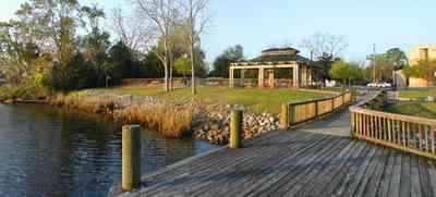
The dock of the south Riverwalk extends out into the river. The channel leading to Milton from Escambia Bay, through East Bay, then north to the mouth of the river is deep and well marked. Depths to Milton range from 12 to 26 feet making entry by large vessels easy.
-
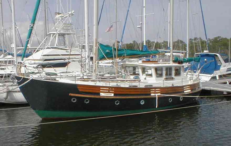
The largest sailboats are located on the east side of the marina.
-
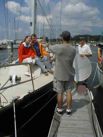
Local actors were models aboard the sailing craft, Nightwind. The boat and crew went out into the deep blue waters of the gulf to be filmed from a helicopter.
-
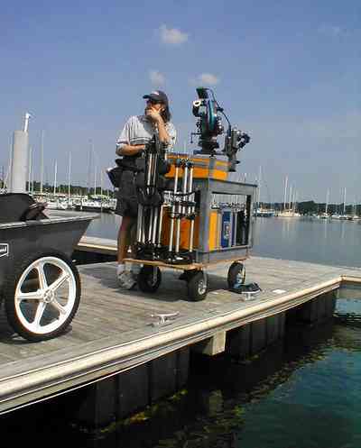
The film commercial was produced for Regions Bank by director, Richard Samson from Birmingham, AL.
-
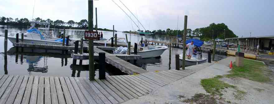
This small marina is located on the Pensacola Navy Base. It is called the Sherman Cove Marina.
-

-

-

-
-
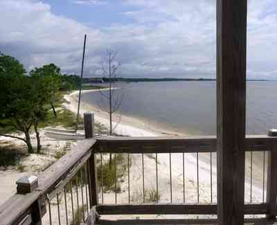
From the second level deck, an northeasterly view reveals a shoreline with white crystal beaches. This area is known for sugar sand dune formations that have been called the whitest beaches in the world.
-

This southwest view from the second level shows the sound and western shoreline.
-

The warehouse interior is filled with vintage machinery.
-
The taste of the fish depends on the quality of feed and water conditions. With the depletion of fish in the sea, catfish farming is becoming a growing industry.
-
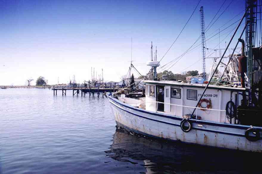
Ships have easy access to the loading area making the process of transferring fresh seafood from the fishing boat to the processing center as quick as possible.
-
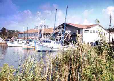
The Amangiari gourmet shop has an amazing assortment of items, plus the best fresh-baked French bread in Pensacola.
-
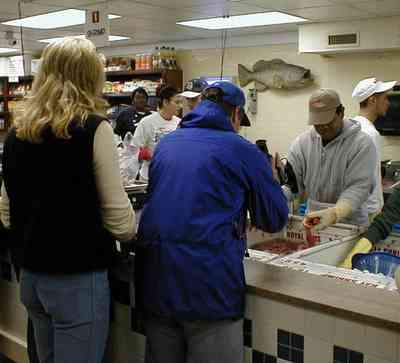
Cameraman, Tom shoots a bin of shrimp at Joe Patti's Seafood Market on Main Street in Pensacola during the preparation of the television program for the Outdoor Learning Channel's, Adventure Crusoe.
-
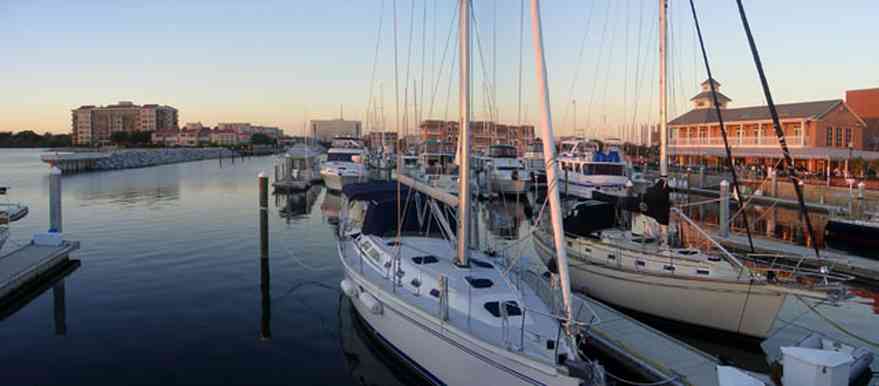
Lilos Restaurant is located in the building on the right of the frame.
-
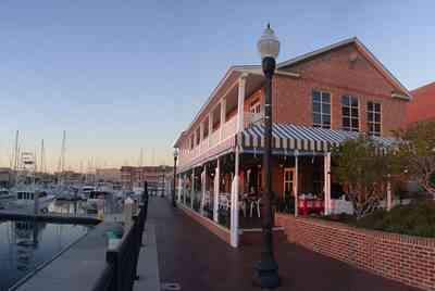
Lilos Restaurant is located adjacent to the pier.
-

A Russian ship is loaded.
-

Among the Port's leading commodities are bagged agricultural products, cement, paper, aggregate, power plant and power generation equipment, animal feed and animal feed components, construction supplies and materials, and frozen cargo.
-
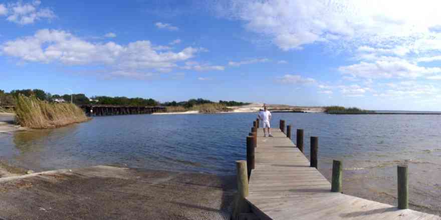
The 17th Avenue railroad trestle can be seen in upper left of the photograph. The spoil island in the center of the picture has formed at the mouth of Bayou Texar.
-

-
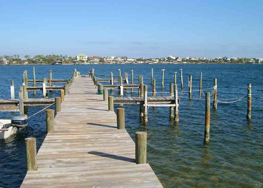
Ono Island is across the sound to the north. To the south, the Gulf of Mexico is about a quarter of a mile away.
-
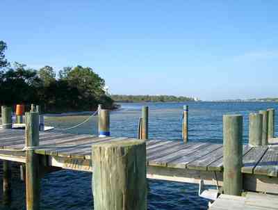
A large expanse of state park borders the property to the west. To the east, there are four streets of development, then more state park.
-

The bay is visible on the left of the frame in this view to the north.
-

The home faces west on the bay. It is located on Petersen Point Road.
-

-
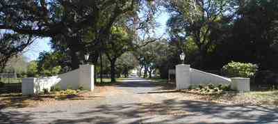
The yacht club is located on Cypress Street at the entrance to Bayou Chico.
-
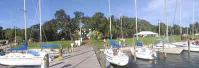
The promotion of navigation, safety, and the use of water are basic tenents of PYC's charter.
-
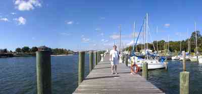
The west dock of the marina complex extends along the bay. There are accomodations for dozens of sail and motor boats.
-
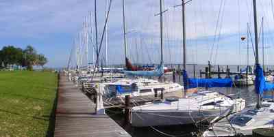
Pensacola Yacht Club is a charter member of the Gulf Yachting Association.
-
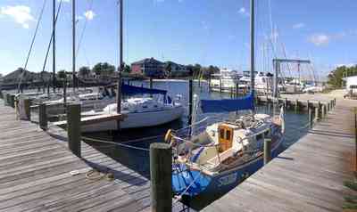
The club is a member of the Florida Council of Yacht Clubs, and US Sailing.
-

Present membership is just over 600, with an active Junior sailing program including water safety and boating skills.
-

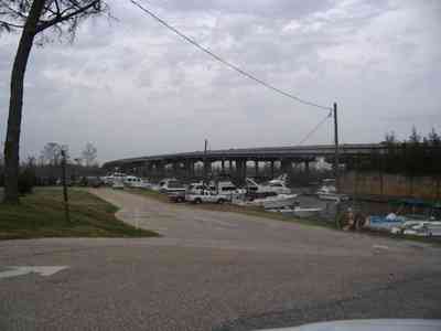
The marina is situated on Bayou Chico.
-
-
-

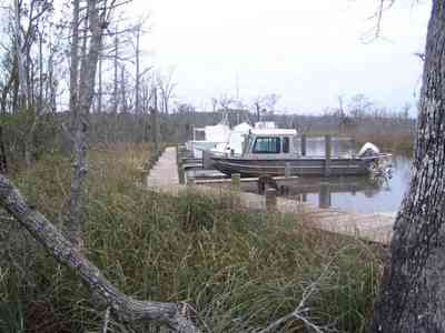
The boatyard has undergone significant rebuilding since Hurricane Ivan.
-
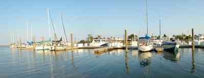
The marina is just south of the Pensacola Historic District.
-
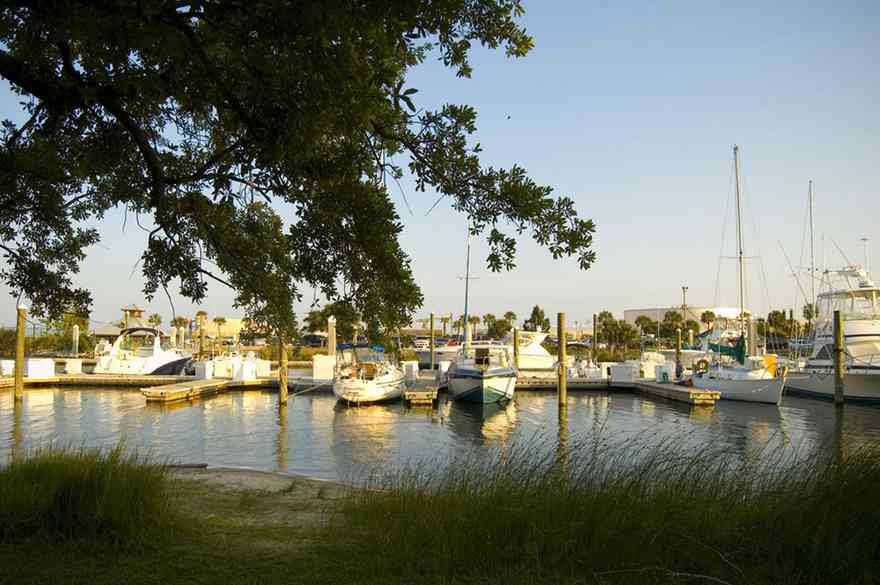
The marina is just south of Bartram Park.
-
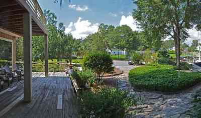
front-facing cul de sac
-
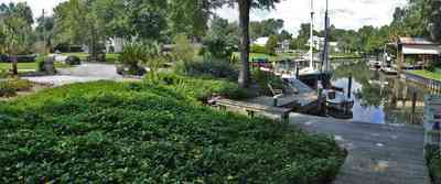
front-facing lake
-
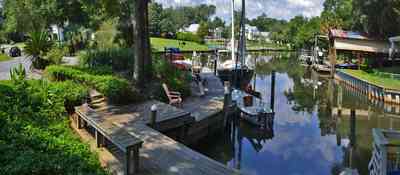
front-facing lake
-
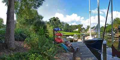
front-facing lake
-
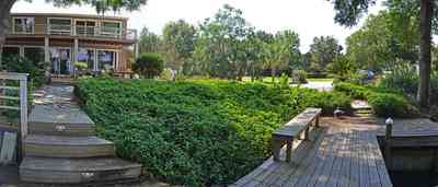
facade-lake view
-
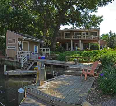
facade - lake view

 Blackwater rivers are usually free of suspended particles due to the filtering action of the sand, but are reddish black in color from the high content of organic tannins that have been leached from decaying vegetation.
 A walkway leads from the backyard to the boat house on the shore of Pensacola Bay.
 The walkway terminates on top of the boar house.
 There are 11 homes that have waterfront property at the entrance to the Bayou. Most of those property owners have docks and boathouses.
 A narrow peninsula forms a barrier between the bay and the entrance to the bayou.
 The boat house is located on the left of the photograph.

 The hillside is covered with natural foliage to prevent erosion. The bay bluffs in this area are unique in the State of Florida and were formed by erosion of the Escambia River which empties into Pensacola Bay.
 The boat house is flanked by walkways.


 A seating area divides the boat dock and the pier.
 The small boat house can be seen in the center of the photograph. Dead Man's Island is a narrow strip of land separating Escambia Bay from the channel.
 The stairs are located on the east side of the house. The boat ramp for access to the bay can be seen on the right of the picture.
 A reverse of the above panorama reveals the outline of the simple spoil island.
 The house is visible in the upper right of the frame. The photograph is taken from the vantage point of the channel, facing southeast. The swing is on the lower right of the frame.
 A small boat is visible in the center frame. Small rocks form a retaining wall along the south side of the channel.
 Vehicles and rental boats are parked in the central parking area adjacent to the camp office and store.
 The dock of the south Riverwalk extends out into the river. The channel leading to Milton from Escambia Bay, through East Bay, then north to the mouth of the river is deep and well marked. Depths to Milton range from 12 to 26 feet making entry by large vessels easy.
 The largest sailboats are located on the east side of the marina.
 Local actors were models aboard the sailing craft, Nightwind. The boat and crew went out into the deep blue waters of the gulf to be filmed from a helicopter.
 The film commercial was produced for Regions Bank by director, Richard Samson from Birmingham, AL.
 This small marina is located on the Pensacola Navy Base. It is called the Sherman Cove Marina.


 From the second level deck, an northeasterly view reveals a shoreline with white crystal beaches. This area is known for sugar sand dune formations that have been called the whitest beaches in the world.
 This southwest view from the second level shows the sound and western shoreline.
 The warehouse interior is filled with vintage machinery.
 The taste of the fish depends on the quality of feed and water conditions. With the depletion of fish in the sea, catfish farming is becoming a growing industry.
 Ships have easy access to the loading area making the process of transferring fresh seafood from the fishing boat to the processing center as quick as possible.
 The Amangiari gourmet shop has an amazing assortment of items, plus the best fresh-baked French bread in Pensacola.
 Cameraman, Tom shoots a bin of shrimp at Joe Patti's Seafood Market on Main Street in Pensacola during the preparation of the television program for the Outdoor Learning Channel's, Adventure Crusoe.
 Lilos Restaurant is located in the building on the right of the frame.
 Lilos Restaurant is located adjacent to the pier.
 A Russian ship is loaded.
 Among the Port's leading commodities are bagged agricultural products, cement, paper, aggregate, power plant and power generation equipment, animal feed and animal feed components, construction supplies and materials, and frozen cargo.
 The 17th Avenue railroad trestle can be seen in upper left of the photograph. The spoil island in the center of the picture has formed at the mouth of Bayou Texar.
 Ono Island is across the sound to the north. To the south, the Gulf of Mexico is about a quarter of a mile away.
 A large expanse of state park borders the property to the west. To the east, there are four streets of development, then more state park.
 The bay is visible on the left of the frame in this view to the north.
 The home faces west on the bay. It is located on Petersen Point Road.
 The yacht club is located on Cypress Street at the entrance to Bayou Chico.
 The promotion of navigation, safety, and the use of water are basic tenents of PYC's charter.
 The west dock of the marina complex extends along the bay. There are accomodations for dozens of sail and motor boats.
 Pensacola Yacht Club is a charter member of the Gulf Yachting Association.
 The club is a member of the Florida Council of Yacht Clubs, and US Sailing.
 Present membership is just over 600, with an active Junior sailing program including water safety and boating skills.
 The marina is situated on Bayou Chico.

 The boatyard has undergone significant rebuilding since Hurricane Ivan.
 The marina is just south of the Pensacola Historic District.
 The marina is just south of Bartram Park.
 front-facing cul de sac
 front-facing lake
 front-facing lake
 front-facing lake
 facade-lake view
 facade - lake view
 One Tank of Gas