-
-
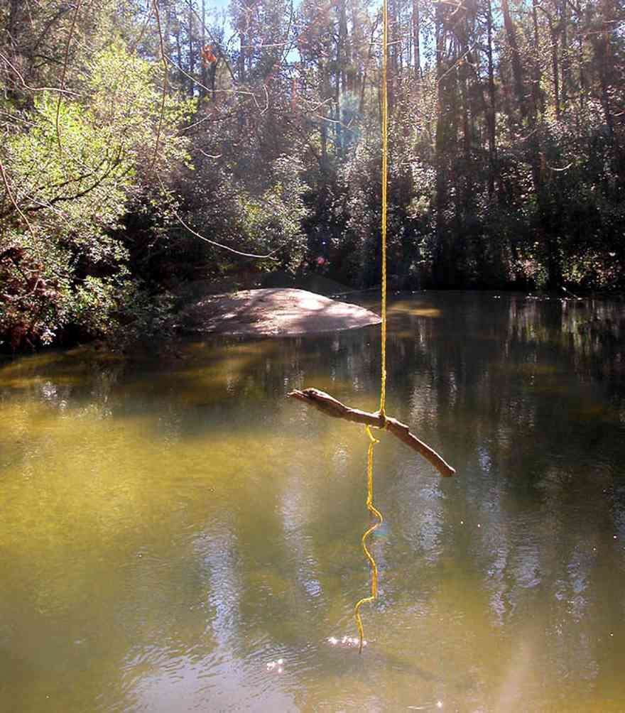
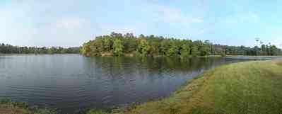
A branch of the Coldwater Creek flows through the Matthews property.
-

The rolling farmland has well kept fields planted in winter rye grass on Highway 97.
-
-
-
-
-

-
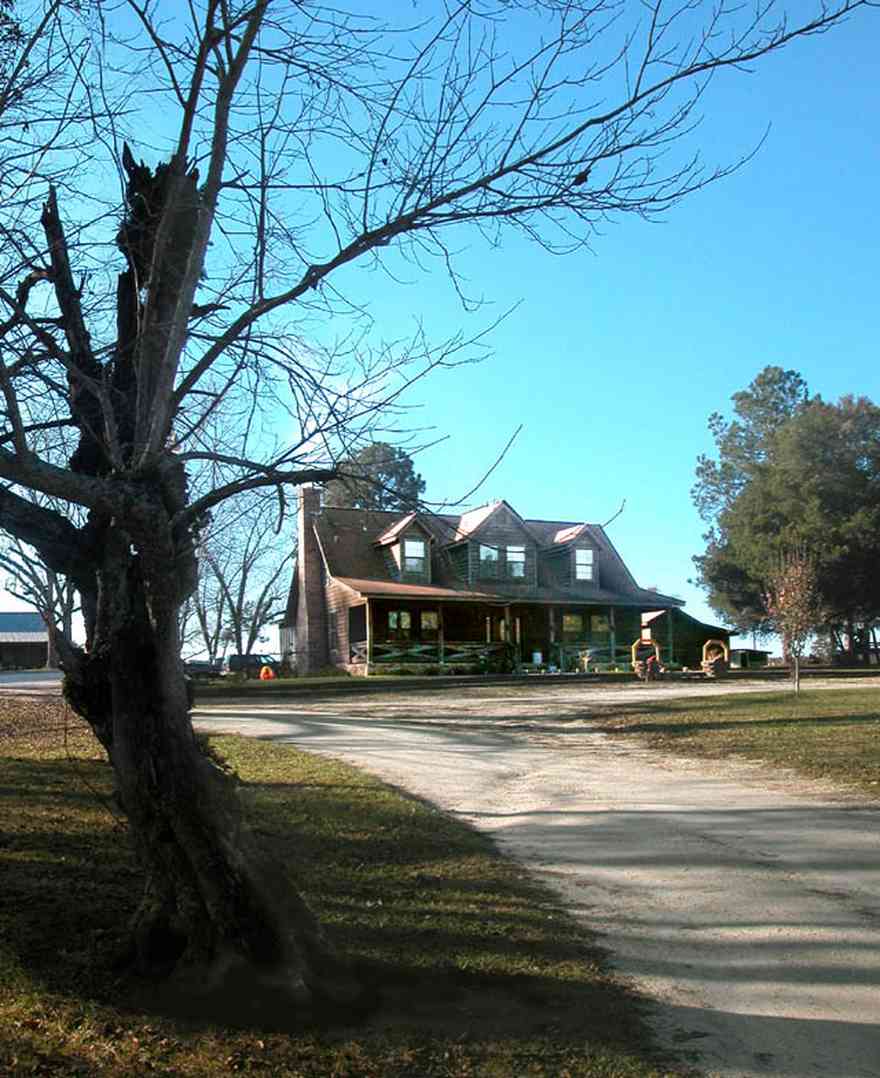
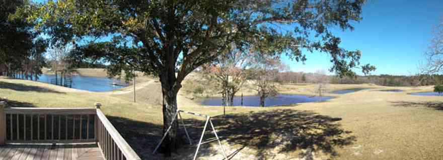
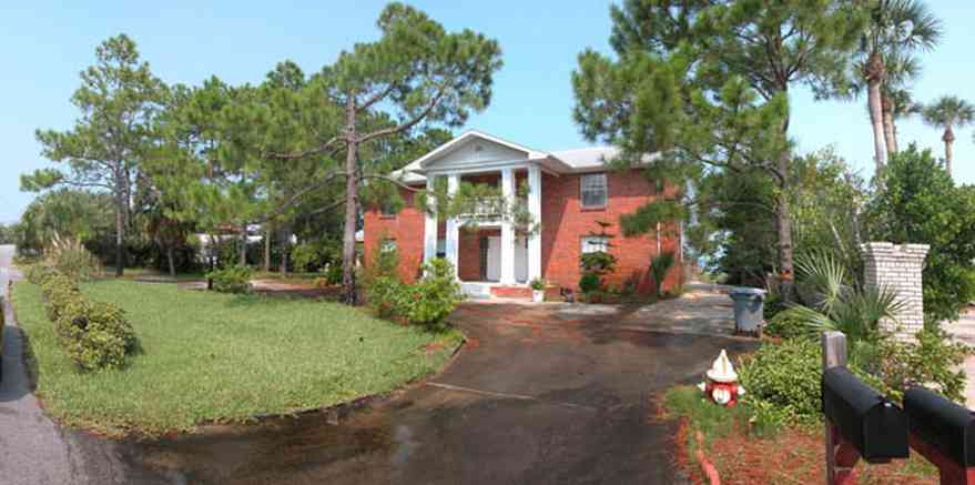
The home is centrally placed on a hill.
-

This is an example of an upland longleaf pine forest with wire grass ground cover.
-
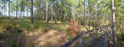
The boardwalk leads the hiker through the uplands pine forest.
-
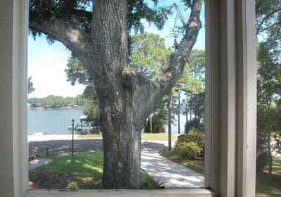
Bayou Texar can be seen from the screen porch.
-
-

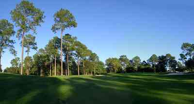
A stand of long-leaf pines and slash pines create a picturesque view of pasture land along this country road.
-
-

-
-

-
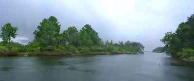
Dead Man's Island is the left bank of the channel leading out into Escambia Bay.
-
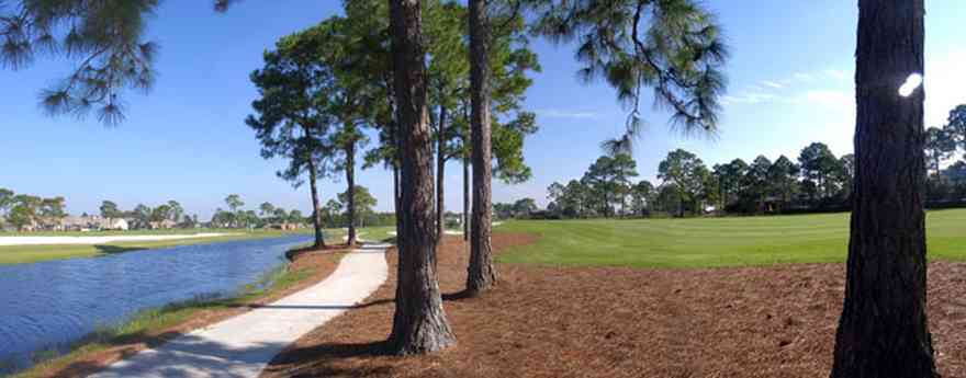
The course follows narrow canals into the Tiger Point subdivision.
-

The restaurant and banquet facilities at Tiger Point are acclaimed as the Emerald Coast's finest.
-
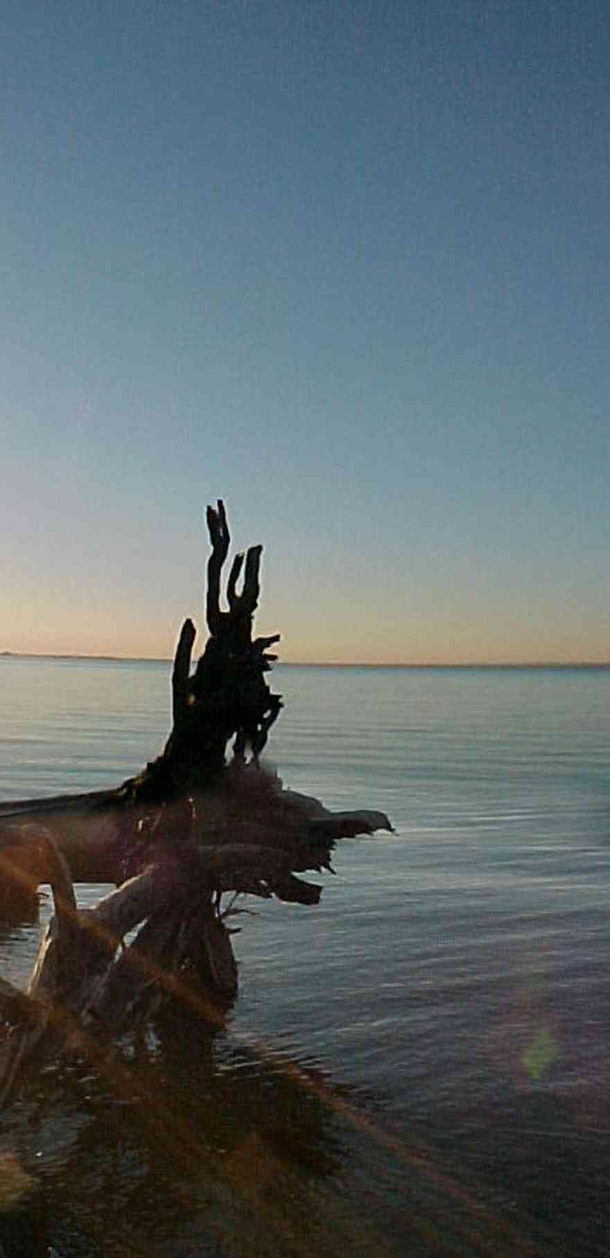
The restaurant and banquet facilities at Tiger Point are acclaimed as the Emerald Coast's finest.
-

-
-
-
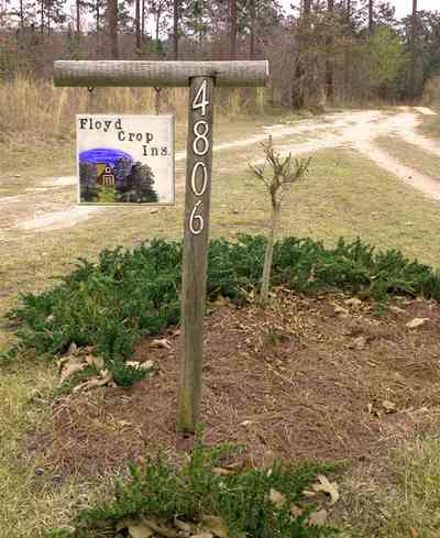
There is a old growth forest of long-leaf pines surrounding the cleared acreage.
-
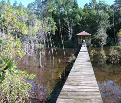
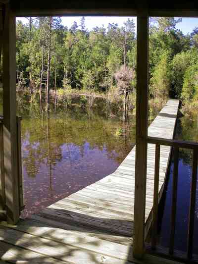
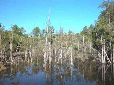
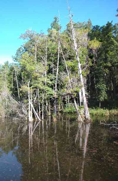
Water oak, overcup oak, diamond-leaf oak, water hickory, sugarberry, several species of ash, American sycamore and river birch are among the more commonly seen trees.
-
-
-
-
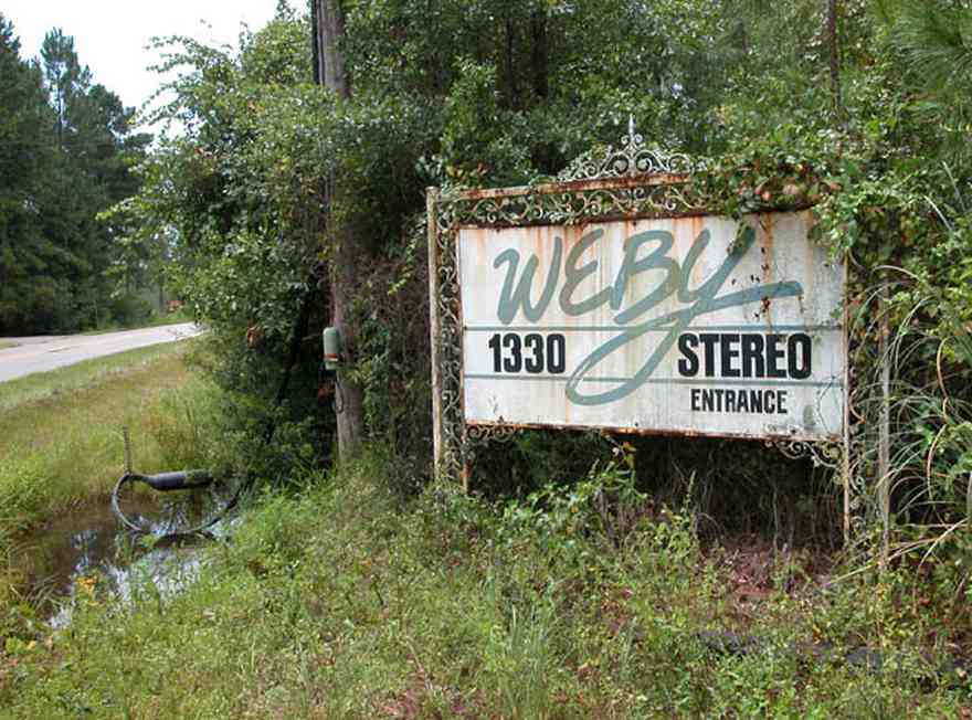
The entrance of the radio station is located on Ward Basin Road.
-
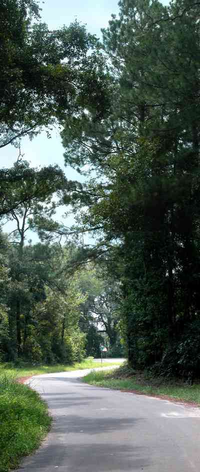
The road winds through a wooded area.
-

Fields of winter wheat are planted as grazing land.
-

-
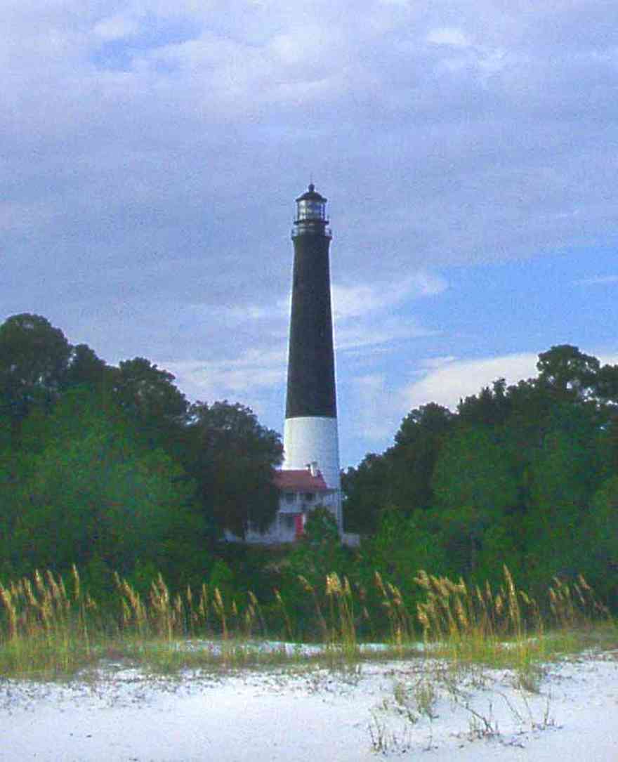
This view of the lighthouse shows its relationship to the coastline. Sea oats in the foreground are the predominate vegetation that grow along the dunes.
-
-
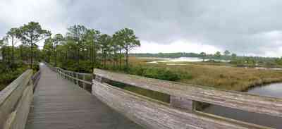
The boardwalk offers a panoramic view of Big Lagoon, the park and Gulf Islands National Seashore across the Intracostal Waterway.
-

Valued as wetlands, the salt marshes attract and provide important habitat for numerouse birds and animals.
-
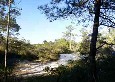
Ridges of old dunes form hills and valleys through the forest.
-
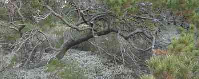
Lichen grow in shaded areas of the sand scrub forest.
-
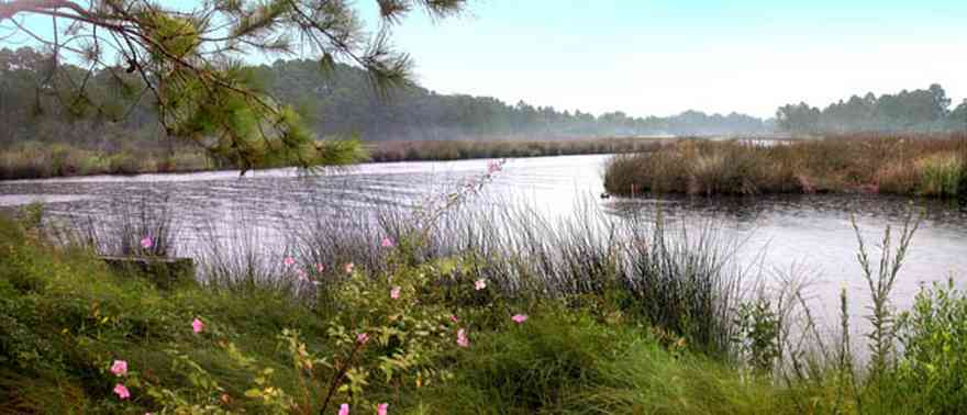
The seagrass meadows are some of the finest to be found anywhere in the world. Similar in appearance to the terrestrial habitats from which they take their name, these meadows are composed of an assortment of low-growing flowering plants that are uniquely adapted to life in a submarine environment.
-

Saw palmettos form part of the undergrowth in the area near the river.
-
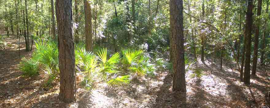
The number of trees and shrubs inhabit these typical communities of slash pine lowlands and hardwood swamps along the Perdido River.
-
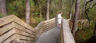
The walkway begins at Scenic Highway and descends to the beach on Escambia Bay.
-
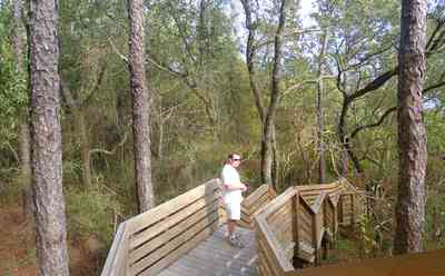
The boardwalk lessens the environmental impact on the bluffs by providing a safe path to the bay.
-
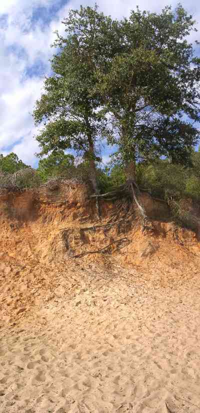
The red clay bluffs fade into the pink sandy beach. The colored sand is a stark contrast to the glimming white quartz sand along the Gulf of Mexico on nearby Pensacola Beach.
-
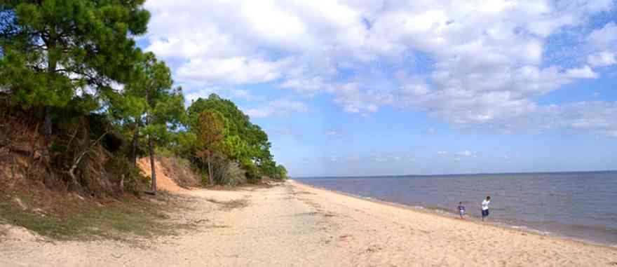
The beach sand is colored pink by the red clay of the bluffs.
-

The CSX tracks are at the foot of the bluffs, separated from the beach by a small ridge.
-

-
-

A stand of pine trees can be seen on the left of the photograph. Cattle are grazing in the valley.
-
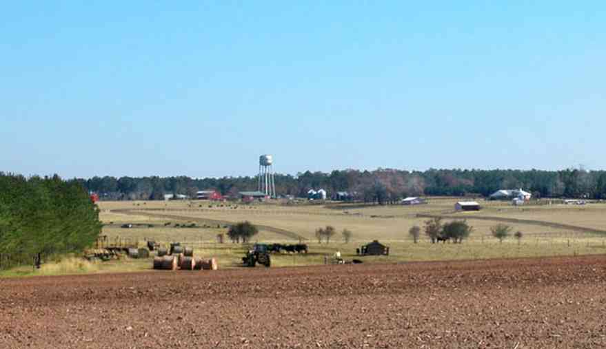
Walnut Hill is an area of gently rolling land settled by Mennonite farmers from Kansas.
-

The plowed field is planted in winter wheat.
-

Cattle graze on the winter wheat.
-

Rolls of hay can be seen on the left of the photograph.
-
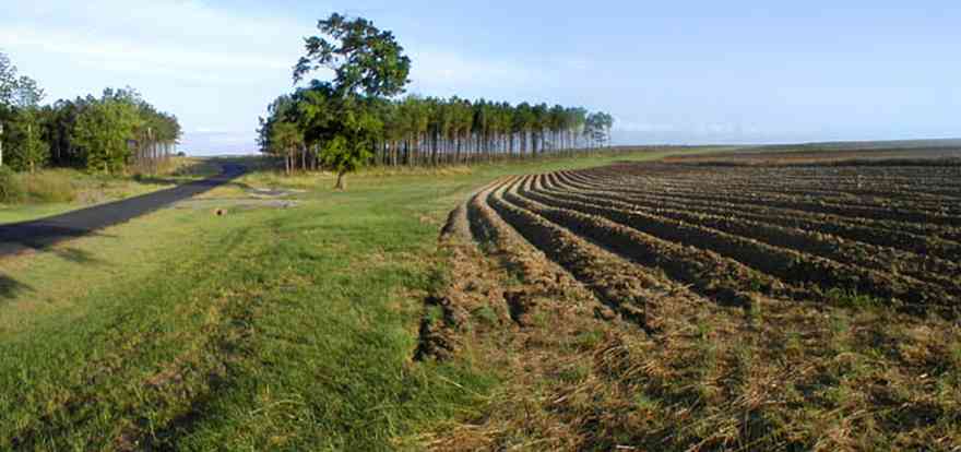
Gobbler Road is in the Walnut Hill Community off Highway 97.
-
There are thousands of acres in cultivation in the Walnut Hill community planted in a variety of crops.
-
-
-
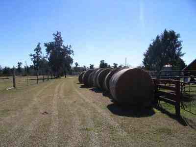
Hay is rolled in bales on the ranch.
-
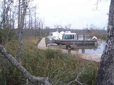


 A branch of the Coldwater Creek flows through the Matthews property.
 The rolling farmland has well kept fields planted in winter rye grass on Highway 97.


 The home is centrally placed on a hill.
 This is an example of an upland longleaf pine forest with wire grass ground cover.
 The boardwalk leads the hiker through the uplands pine forest.
 Bayou Texar can be seen from the screen porch.
 A stand of long-leaf pines and slash pines create a picturesque view of pasture land along this country road.


 Dead Man's Island is the left bank of the channel leading out into Escambia Bay.
 The course follows narrow canals into the Tiger Point subdivision.
 The restaurant and banquet facilities at Tiger Point are acclaimed as the Emerald Coast's finest.
 The restaurant and banquet facilities at Tiger Point are acclaimed as the Emerald Coast's finest.


 There is a old growth forest of long-leaf pines surrounding the cleared acreage.
 Water oak, overcup oak, diamond-leaf oak, water hickory, sugarberry, several species of ash, American sycamore and river birch are among the more commonly seen trees.


 The entrance of the radio station is located on Ward Basin Road.
 The road winds through a wooded area.
 Fields of winter wheat are planted as grazing land.
 This view of the lighthouse shows its relationship to the coastline. Sea oats in the foreground are the predominate vegetation that grow along the dunes.
 The boardwalk offers a panoramic view of Big Lagoon, the park and Gulf Islands National Seashore across the Intracostal Waterway.
 Valued as wetlands, the salt marshes attract and provide important habitat for numerouse birds and animals.
 Ridges of old dunes form hills and valleys through the forest.
 Lichen grow in shaded areas of the sand scrub forest.
 The seagrass meadows are some of the finest to be found anywhere in the world. Similar in appearance to the terrestrial habitats from which they take their name, these meadows are composed of an assortment of low-growing flowering plants that are uniquely adapted to life in a submarine environment.
 Saw palmettos form part of the undergrowth in the area near the river.
 The number of trees and shrubs inhabit these typical communities of slash pine lowlands and hardwood swamps along the Perdido River.
 The walkway begins at Scenic Highway and descends to the beach on Escambia Bay.
 The boardwalk lessens the environmental impact on the bluffs by providing a safe path to the bay.
 The red clay bluffs fade into the pink sandy beach. The colored sand is a stark contrast to the glimming white quartz sand along the Gulf of Mexico on nearby Pensacola Beach.
 The beach sand is colored pink by the red clay of the bluffs.
 The CSX tracks are at the foot of the bluffs, separated from the beach by a small ridge.

 A stand of pine trees can be seen on the left of the photograph. Cattle are grazing in the valley.
 Walnut Hill is an area of gently rolling land settled by Mennonite farmers from Kansas.
 The plowed field is planted in winter wheat.
 Cattle graze on the winter wheat.
 Rolls of hay can be seen on the left of the photograph.
 Gobbler Road is in the Walnut Hill Community off Highway 97.
 There are thousands of acres in cultivation in the Walnut Hill community planted in a variety of crops.

 Hay is rolled in bales on the ranch.
 One Tank of Gas